We are underway. The conditions on the Indian Pass Trail are very pleasant, no snow or mud. But the weather is grey and a cold wind blows through the trees.
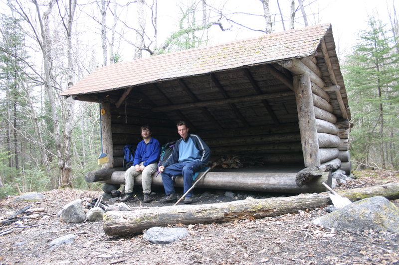
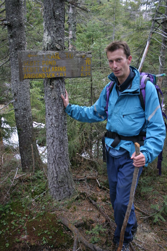
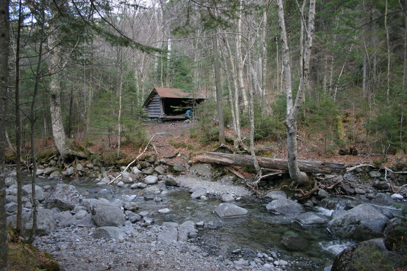
Rest stop at Scott Clearing Lean-To
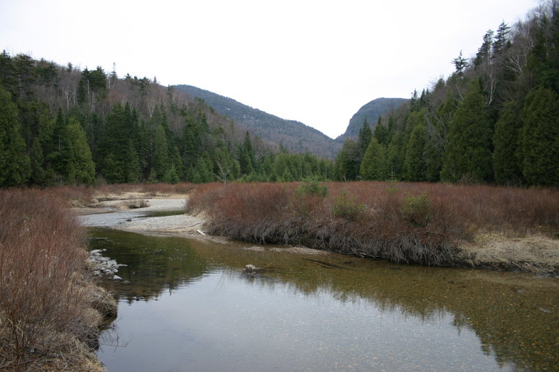
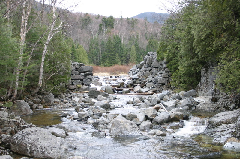
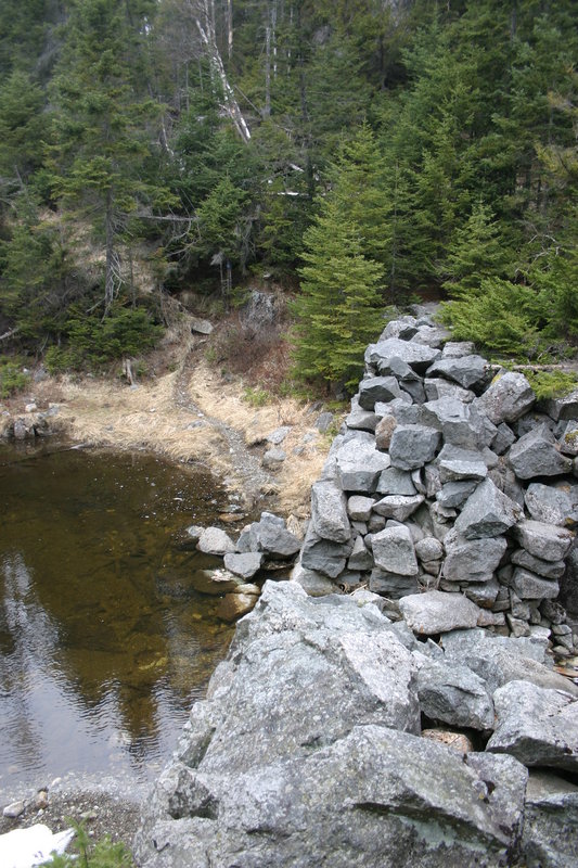
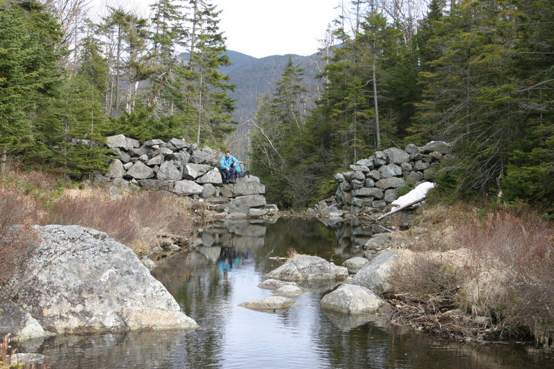
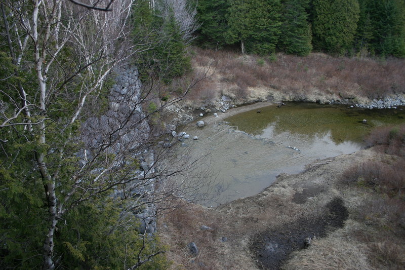
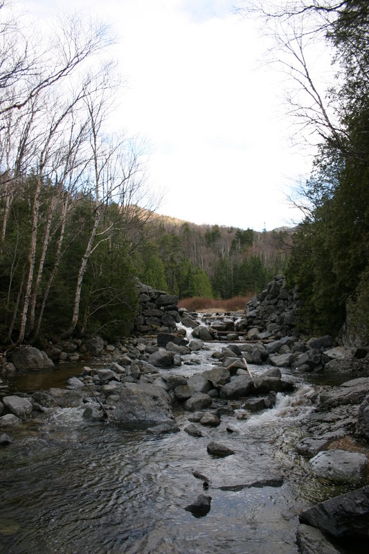
Where we turn off the main Indian Pass trail, there are very nice ruins of an old dam. The guide book says this dam was built to get enough water flow in the creek to float logs down it, during the logging days. This is as close a view of Wallface Mountain as we are going to get on this hike.


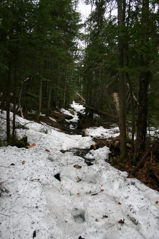
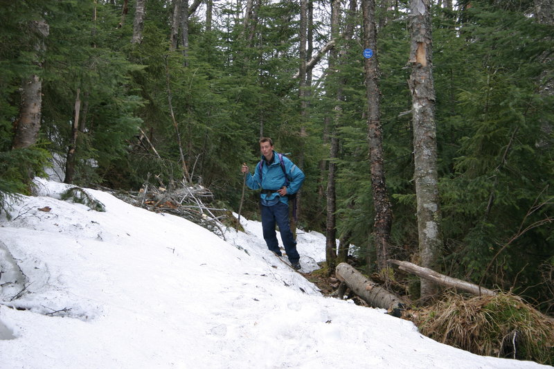
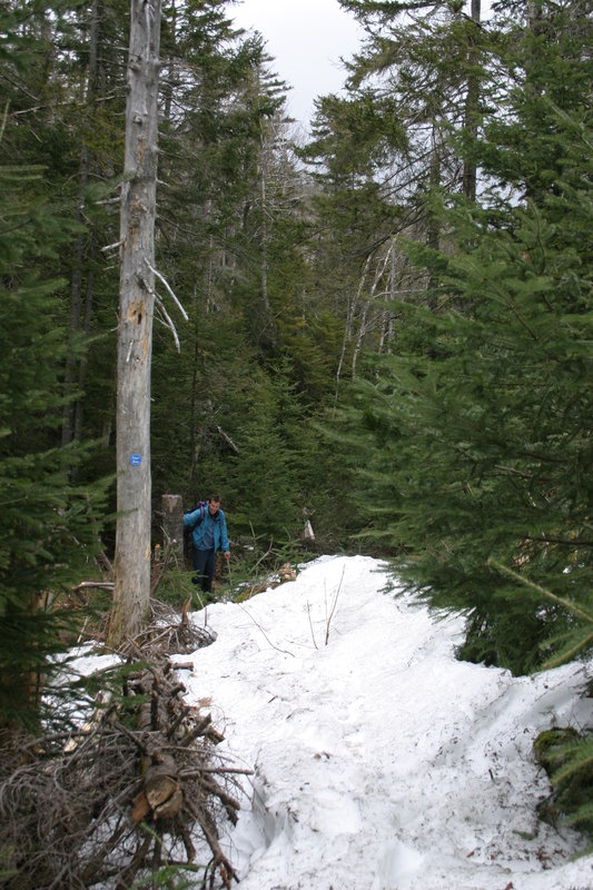
The trail now climbs to about 3000 feet elevation, and we encounter snow. The snow almost, but not quite carries our weight, and in our infinite wisdom, we have failed to bring not only snowshoes but even gaiters. After all, back home it is a lovely near-summer day and the lawnmowers are already humming. This snow will hound us for the next seven hours, as we break in every few steps with muttered, or sometimes shouted curses.
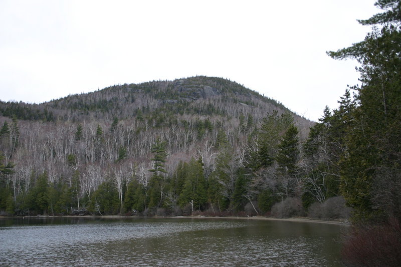
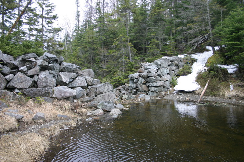
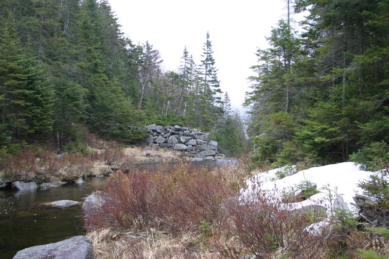
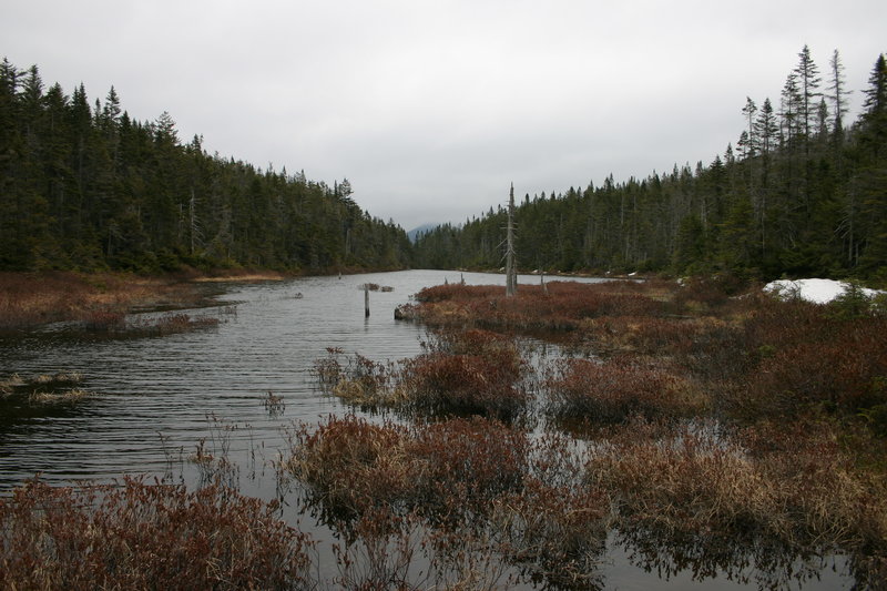
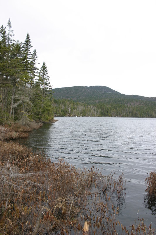
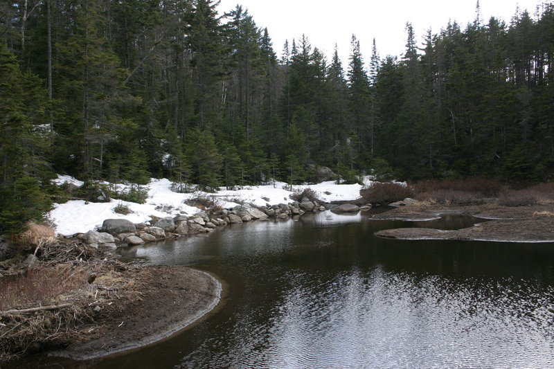
Scott Pond. There is another breached dam here. We completely fail to see the spectacularly framed view of the MacIntyre Range. On the other hand, the cloudy weather softens the grey pre-spring scenery in an attractive way.


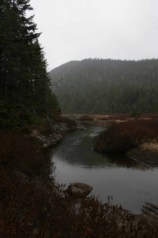
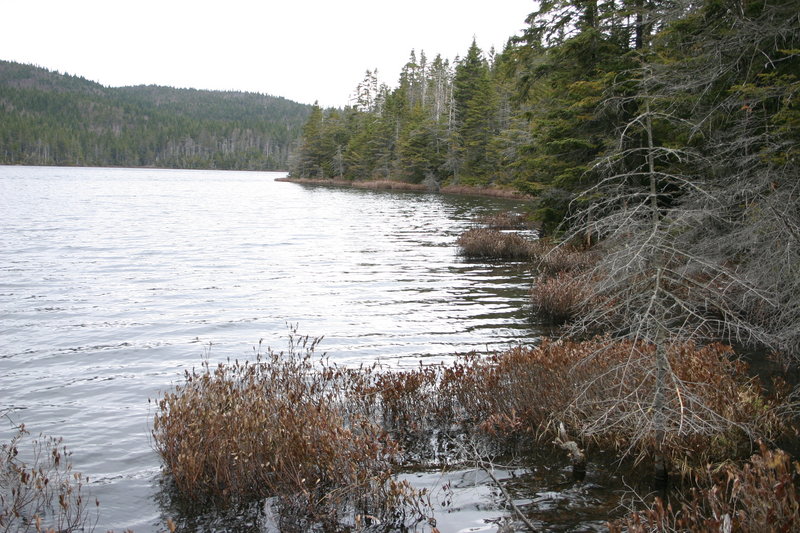
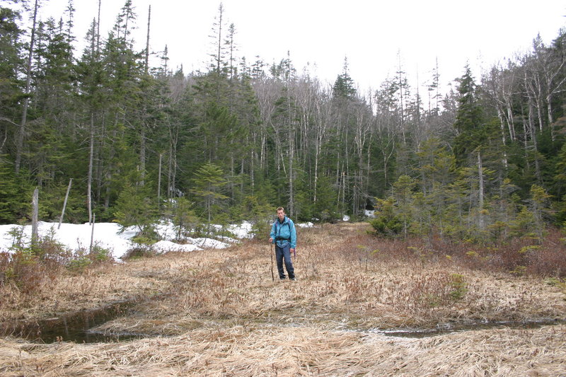
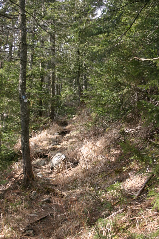
Traversing between Scott and Wallface Ponds. The trails are mostly snow covered now, naturally I only end up taking pictures of the dry bits...
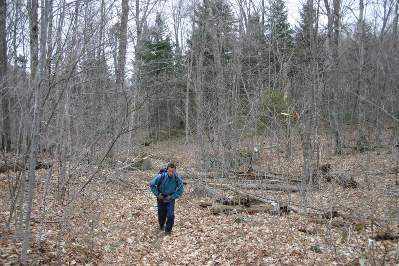
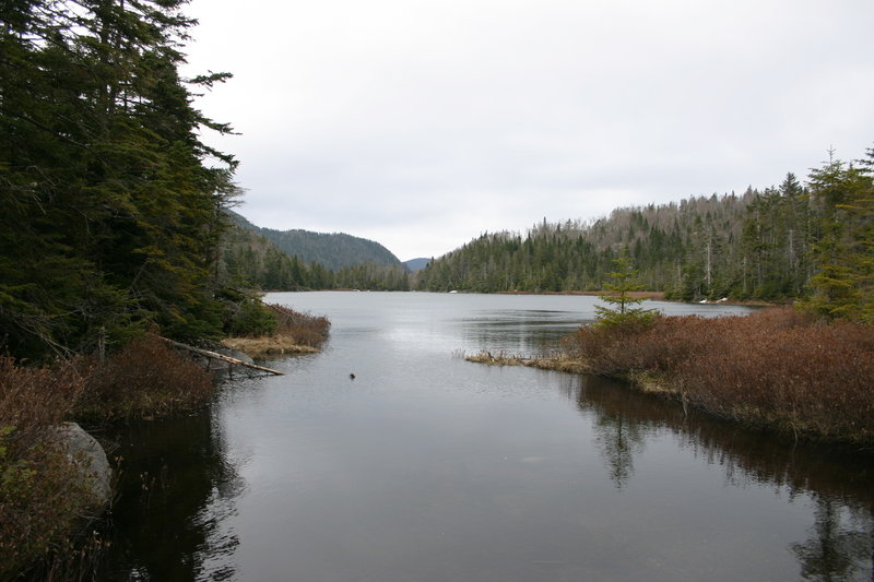
At the Wallface Ponds. The trail becomes indistinct here and we end up losing it. On a GPS bearing directly to MacNaughton Mountain, we end up going through an area of deadfall.

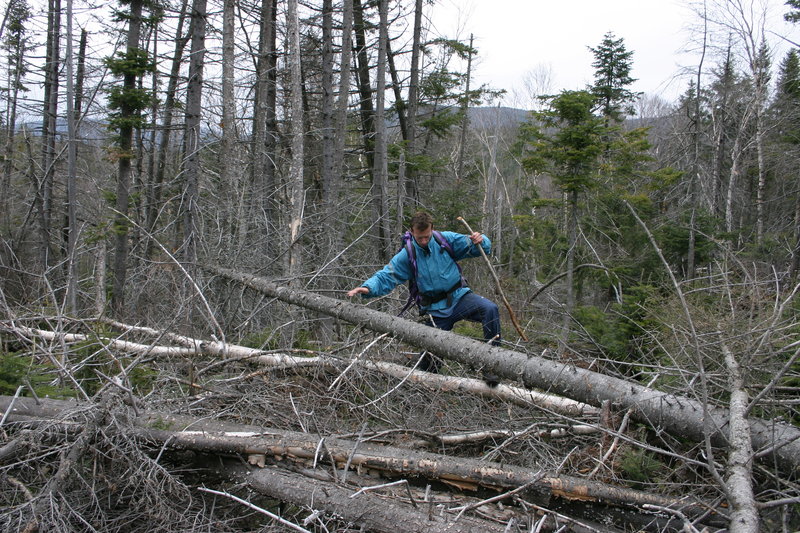
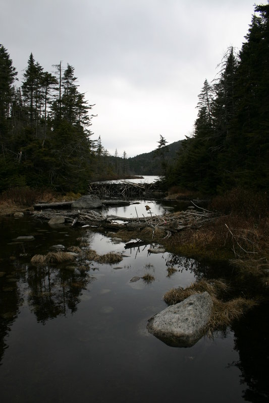

Struggling through deadfall and patches of snow, we eventually pick up a trail of pink ribbons, and these bring us directly to this point, which is the only possible water crossing between two of the ponds.

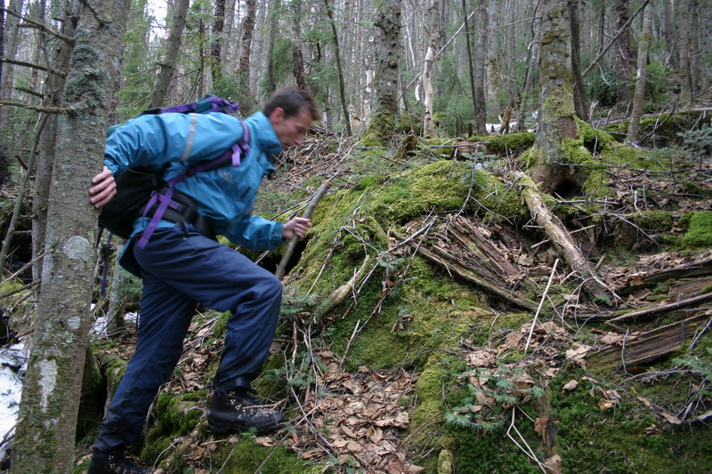
The climb up is a mighty struggle, mostly through snow which gets deeper as we go higher. I had read about a "jumble of moss-covered fallen trees" in a description of this bushwhack. Little did I know that would be one of the easiest parts (no snow)
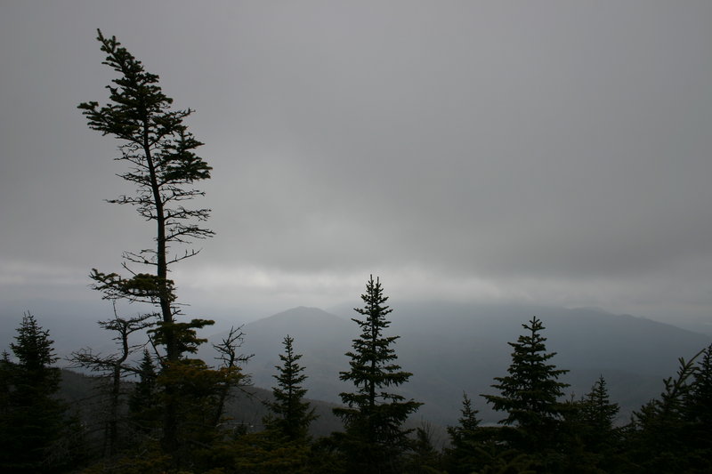
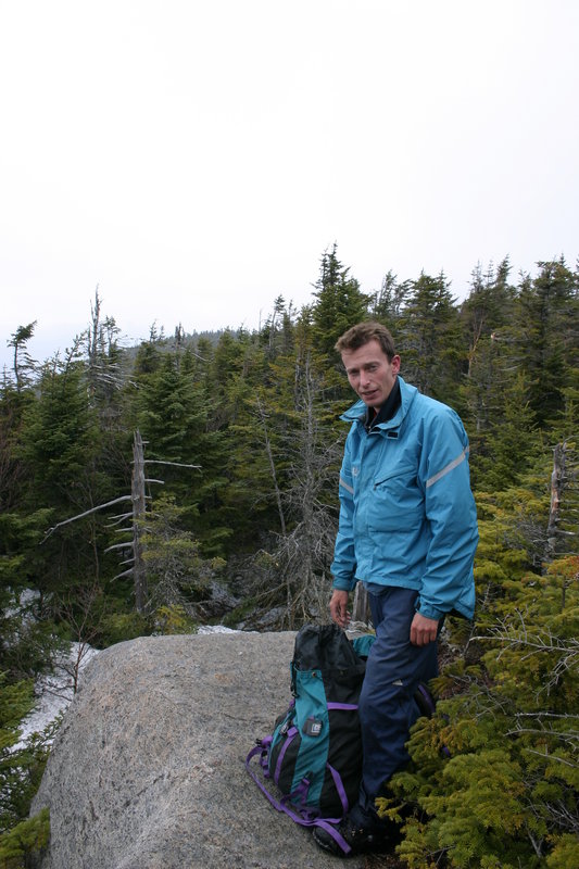
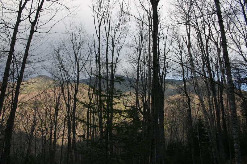
We locate the summit by GPS. The weather does not permit much of a view, and I can't figure out what the hazily outlined mountain is.
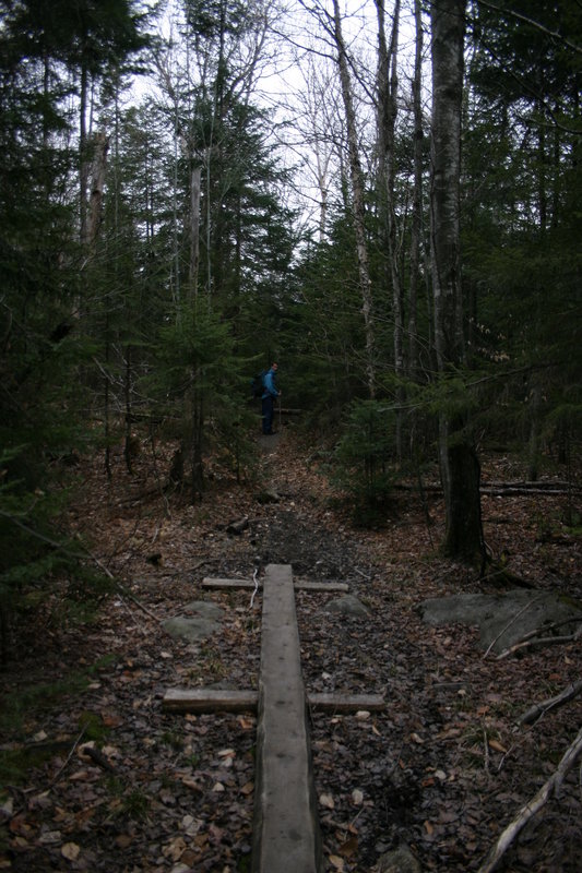
After a 1 kilometre bushwhack back down to the stream crossing, we soon pick up the trail at its very end, and follow it from there. It is extremely wet and covered with snow and deadfall. Wherever the choice is walking the trail or in an adjacent swamp, we choose the swamp! Water is sloshing around in our boots anyway by this point.
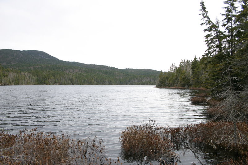
Back at Scott Pond. The weather is turning nice now, as it often does in the Adirondacks late in the afternoon.
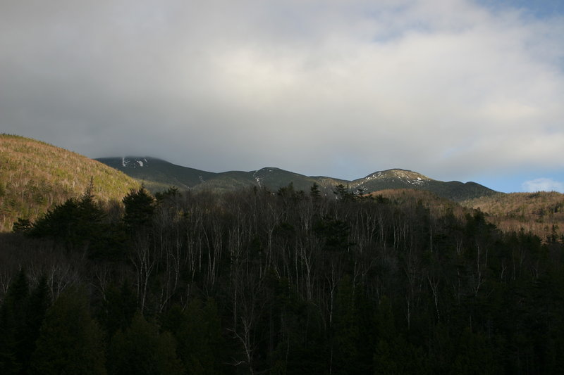
Descending toward Indian Pass, I see the MacIntyre Mountains through the trees, and think that this is as good as it gets. But then I find a rock ledge that gives a clear view, and also looks down on the broken stone dam.
Re-crossing the stream, and back to Scott Clearing Lean-To

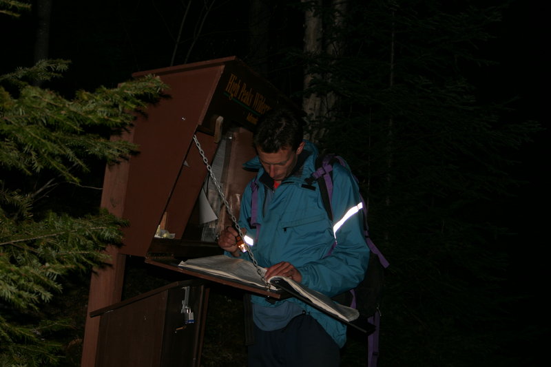
And two hours later, in darkness, signing out.