We swap digital camera pictures with the family camped in the spot next to ours, who also have a Canon digital camera.
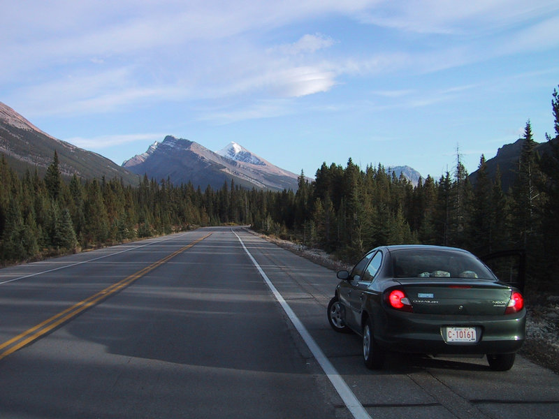
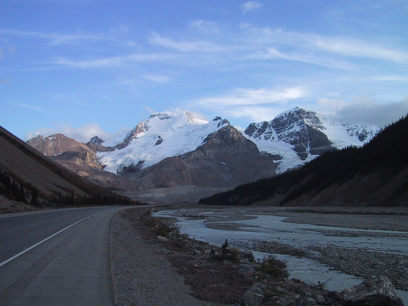
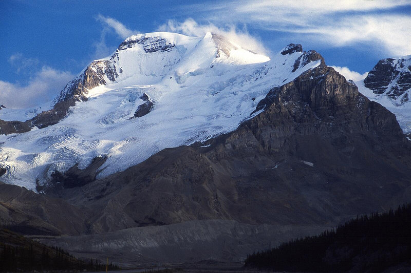
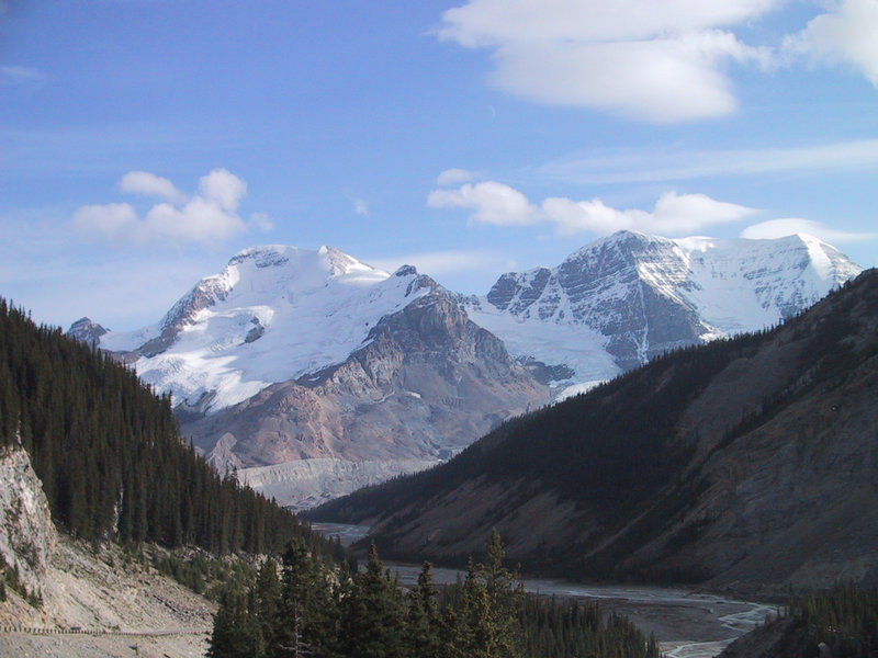
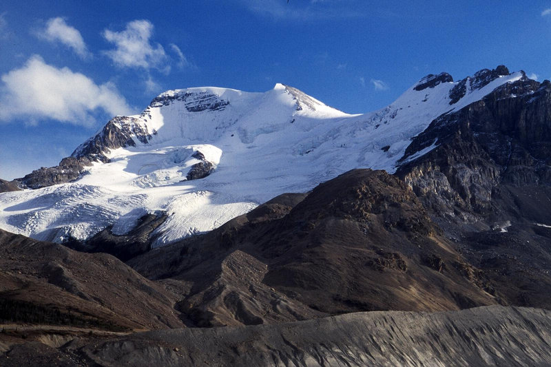
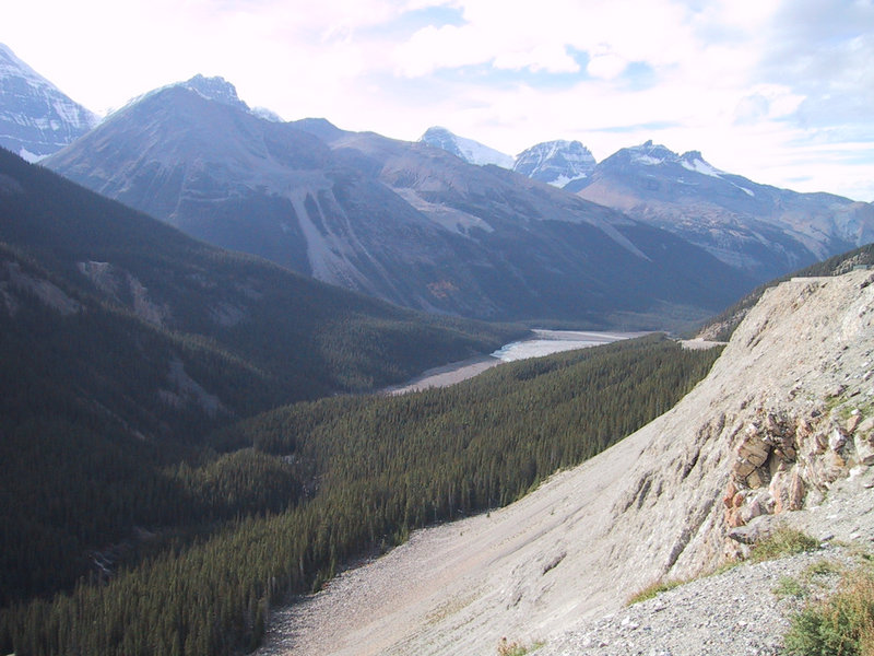
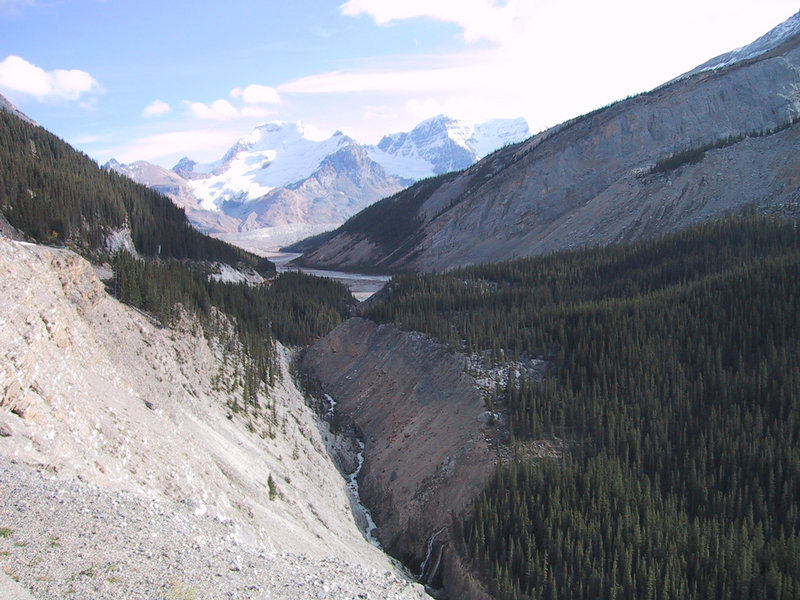
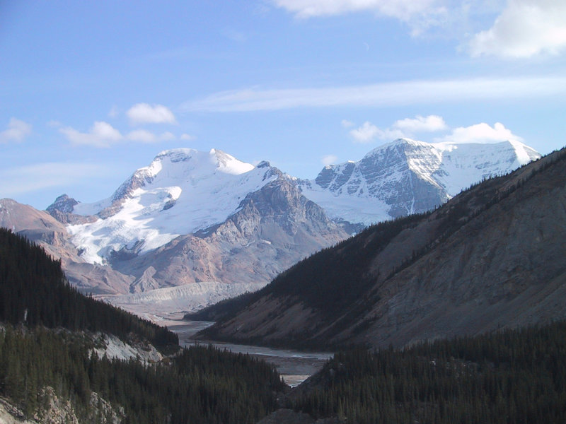
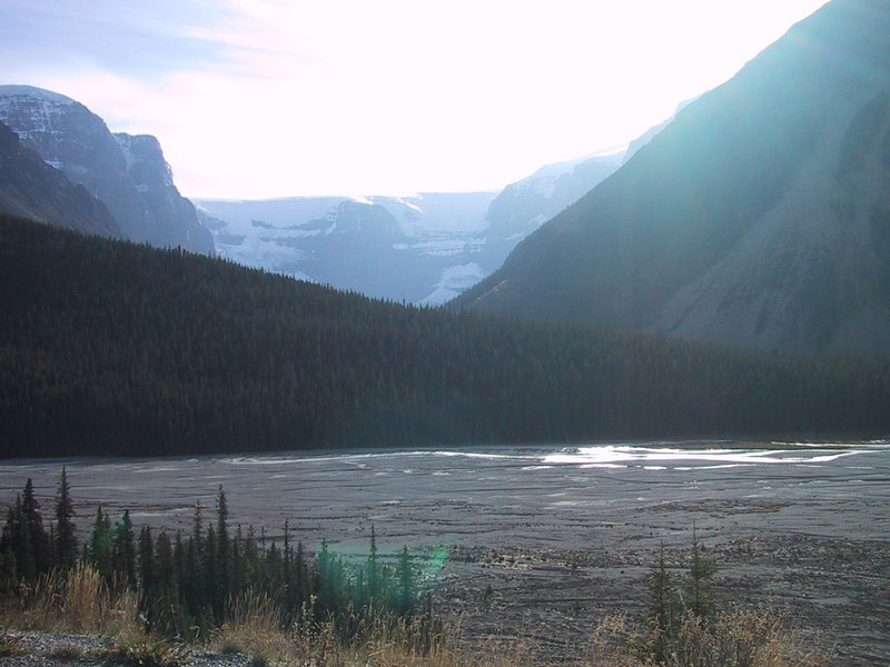
The day is still young. We study the map and decide to just go driving, further up the Icefields Parkway. The view of Mt. Athabasca is unbelievably good from this direction. We can see every bit of the route that we will take to the summit two days hence, as well as the backup route that we will take if there is too much avalanche danger.
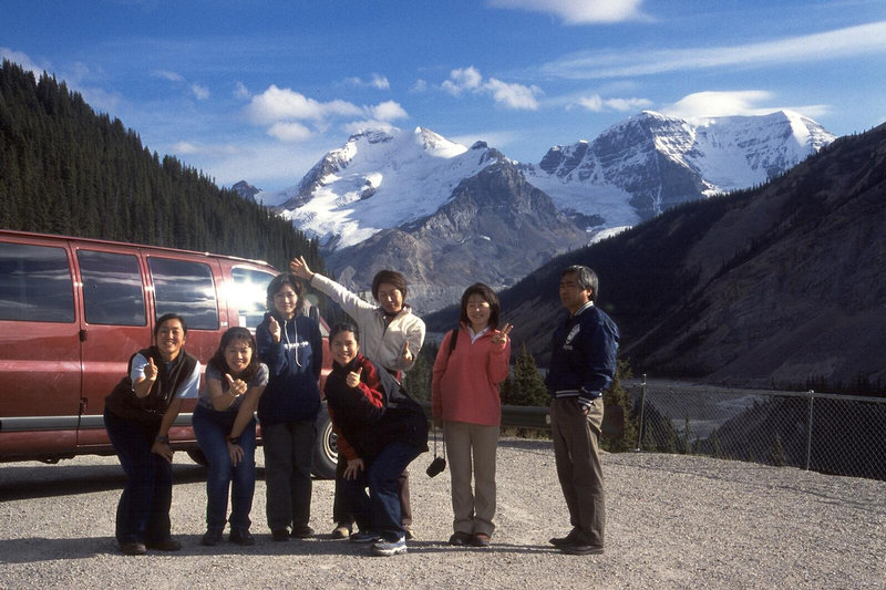
Spotting Andrew's big SLR camera, a vanload of Japanese tourists approaches him to take their photo against this scenic backdrop. A whole armload of cameras is handed over. Andrew decides to get a picture for himself. They specifically wanted the van to be in the picture too.
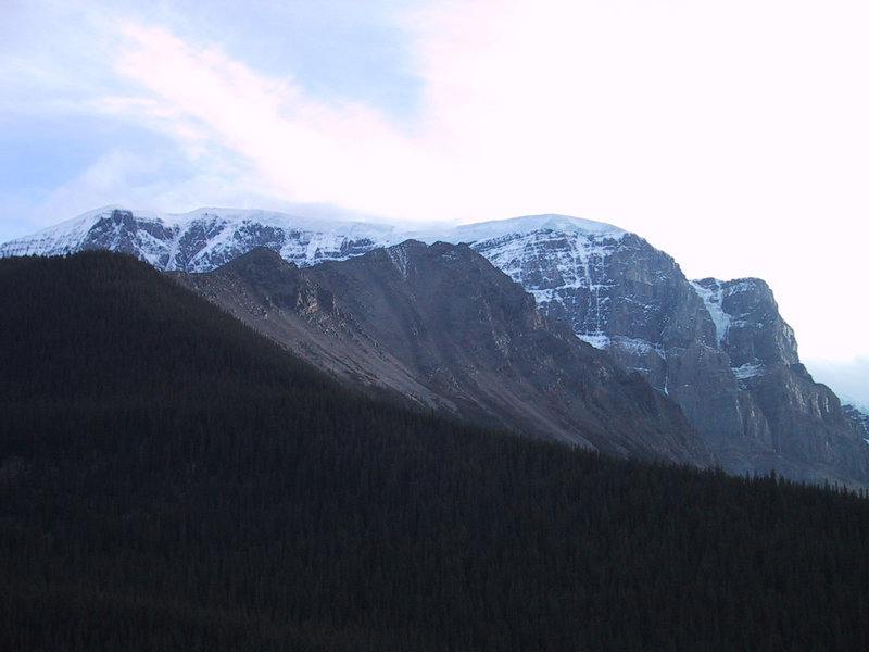
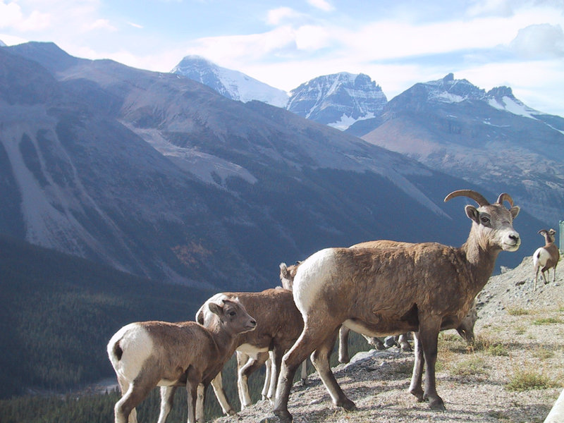
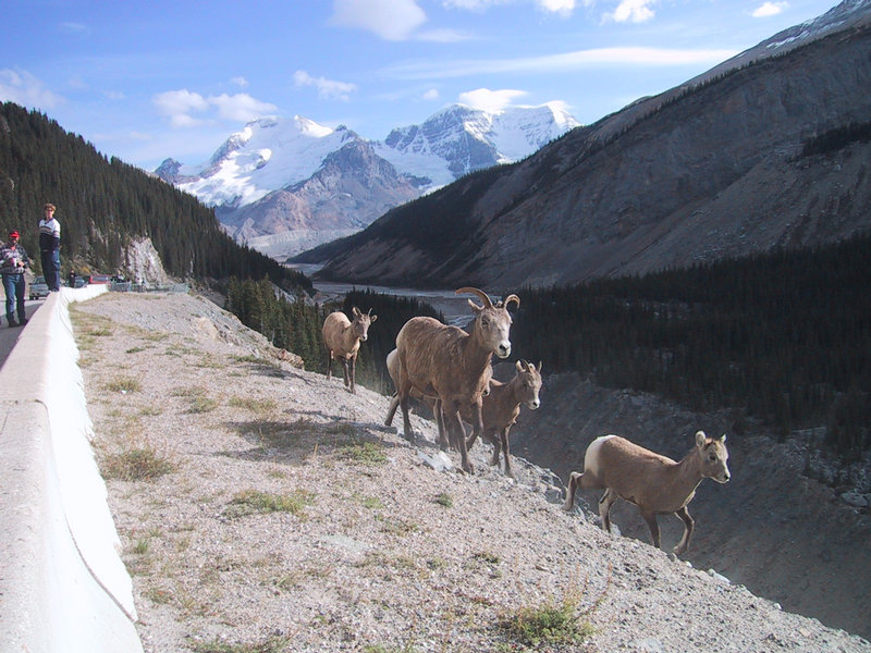
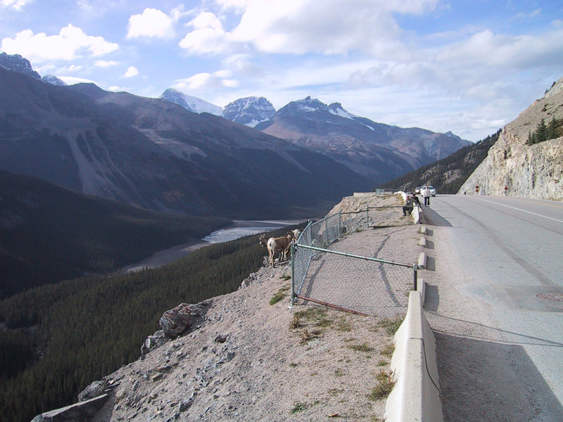
Here we have mountain goats, just as the map/guide says (when I look later).
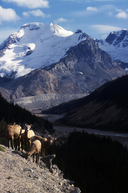
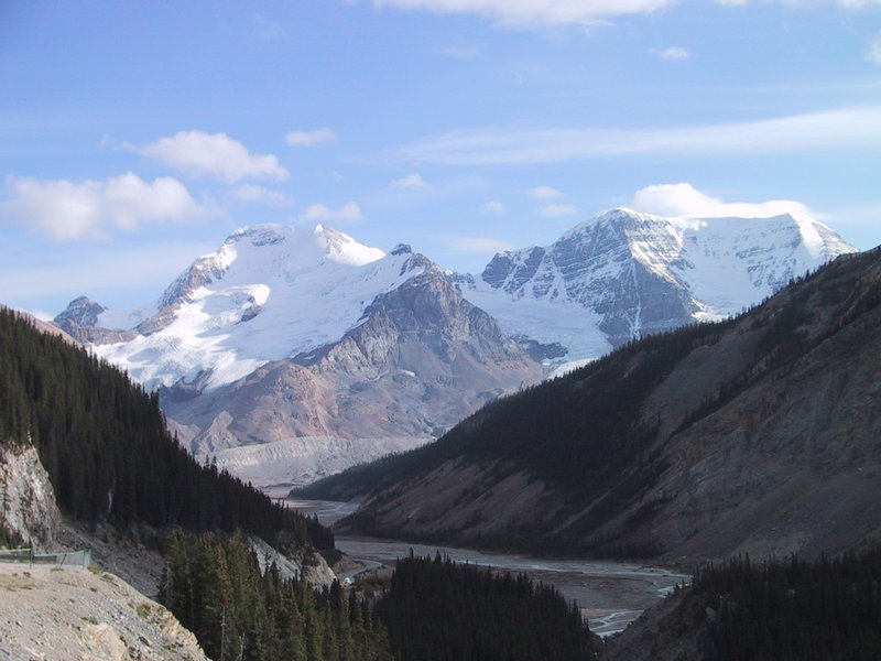
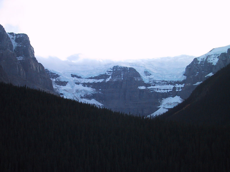
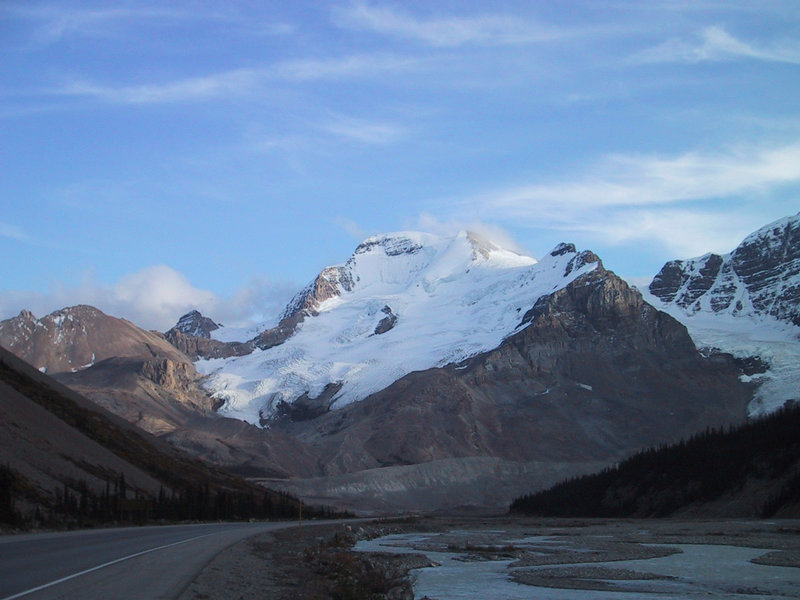
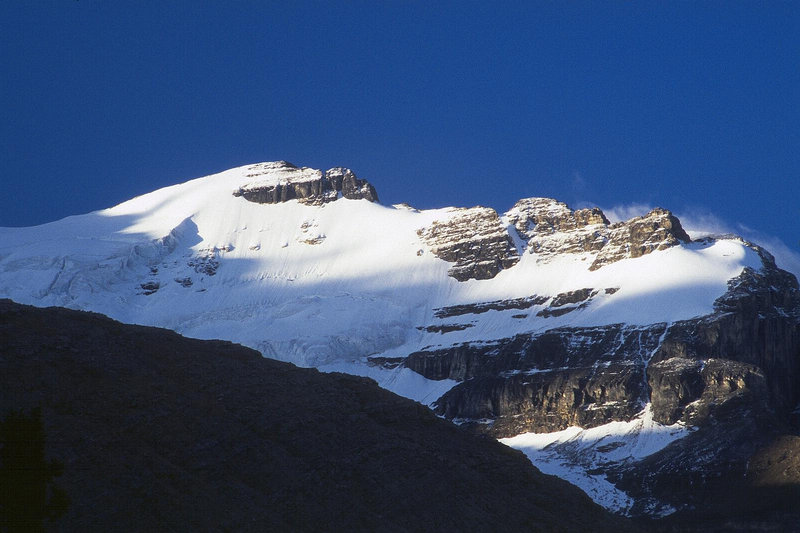
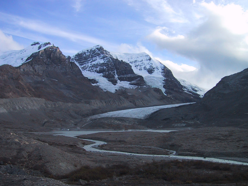
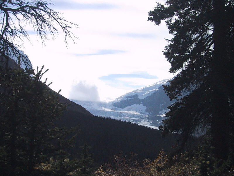
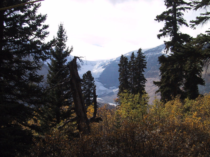
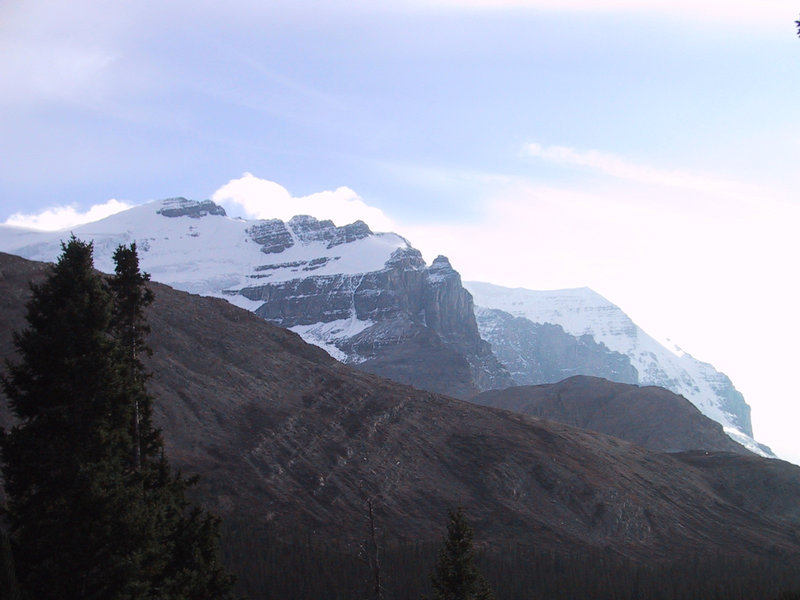
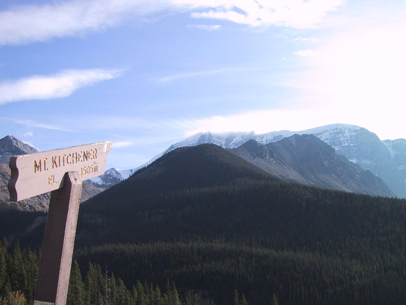
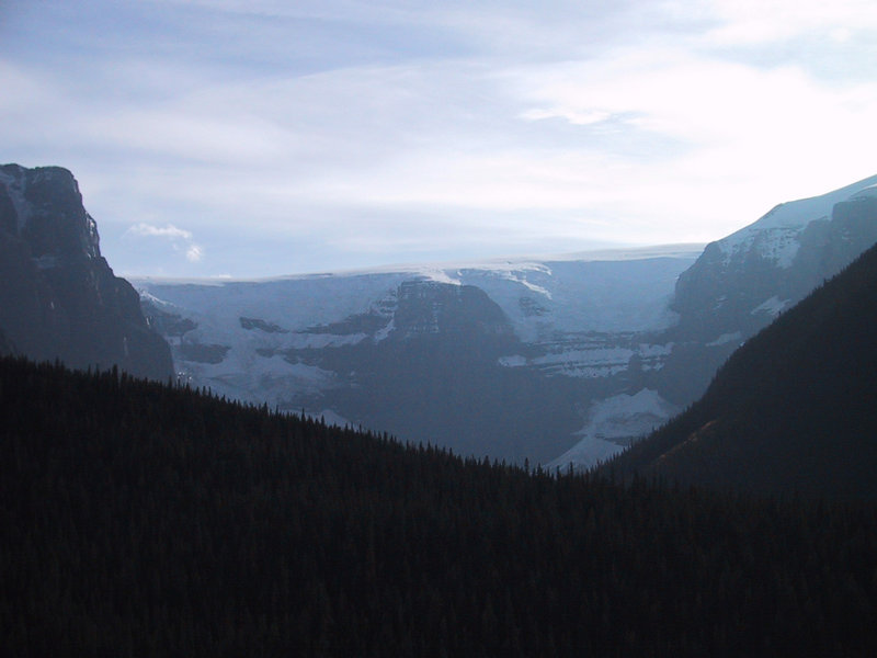
In this picture of Mt. Kitchener, you can clearly see a crust of ice on top. This is one edge of the 132 square kilometre Columbia Icefield. The Athabasca glacier is one of six major glaciers that come out of this icefield. Its melt water drains into three watersheds going to three different oceans.
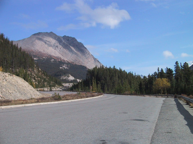
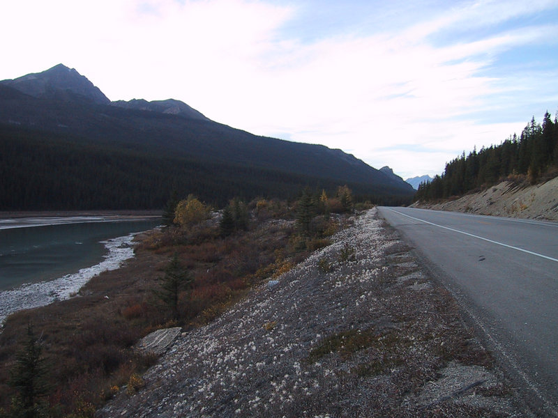
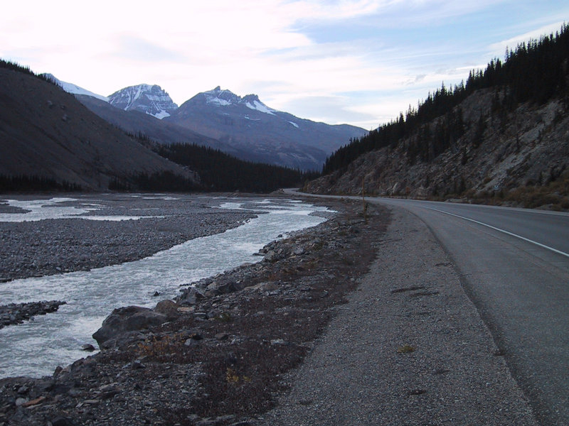
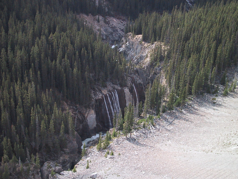
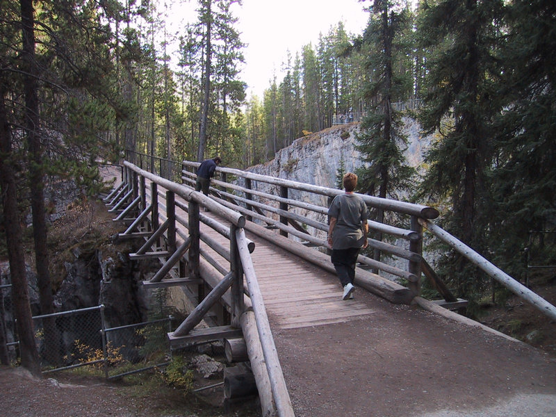
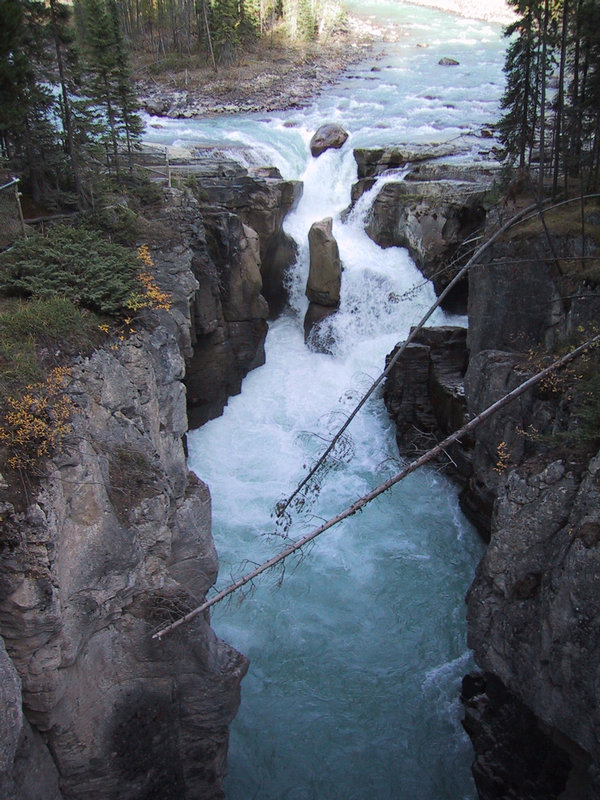
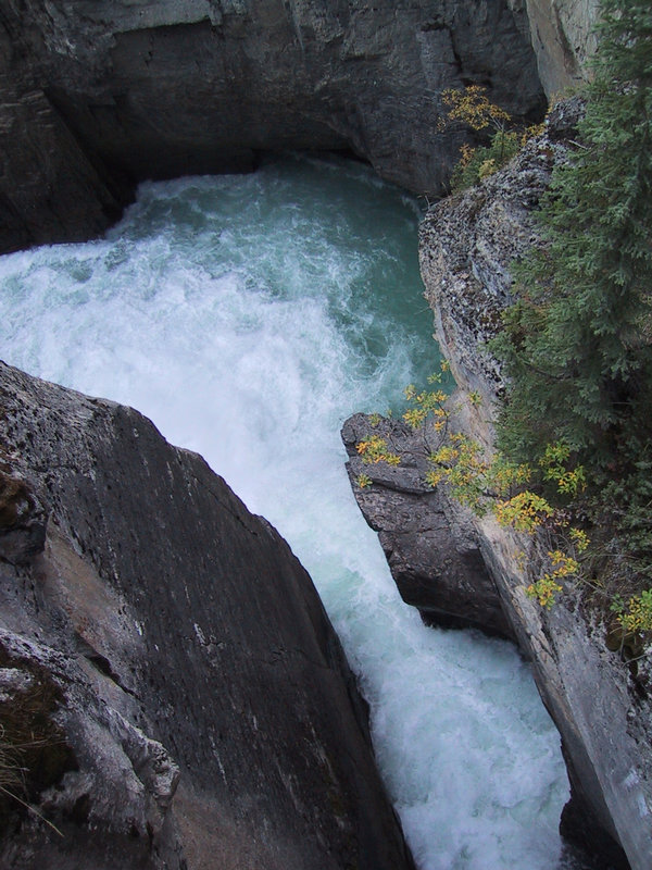
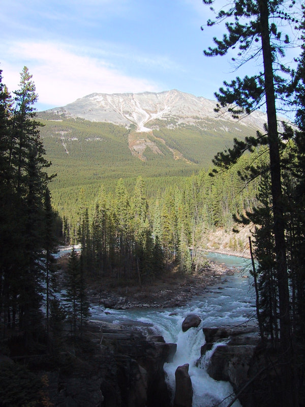
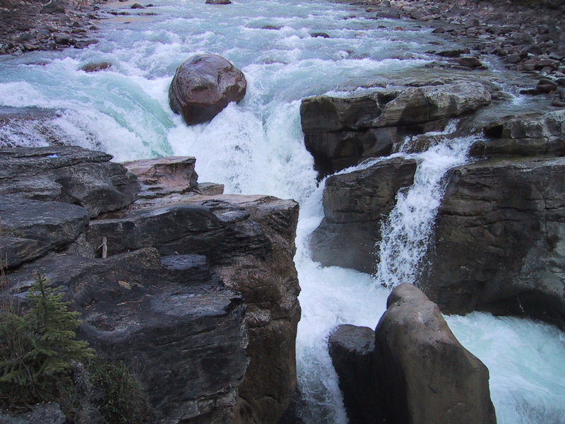
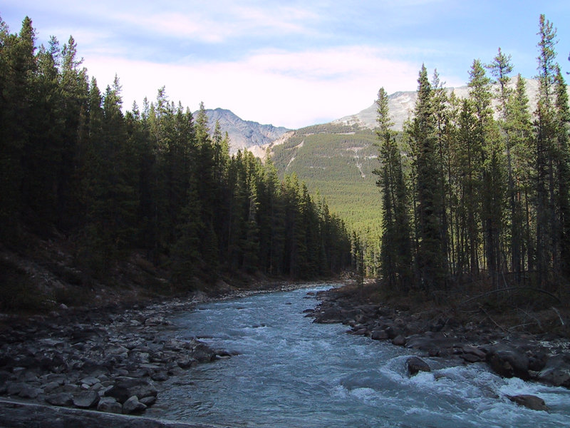
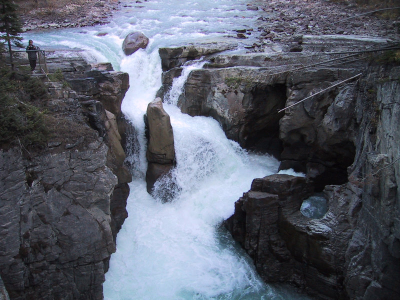
We keep driving along, admiring the scenery, until we get to Sunwapta Falls. We park and look around.

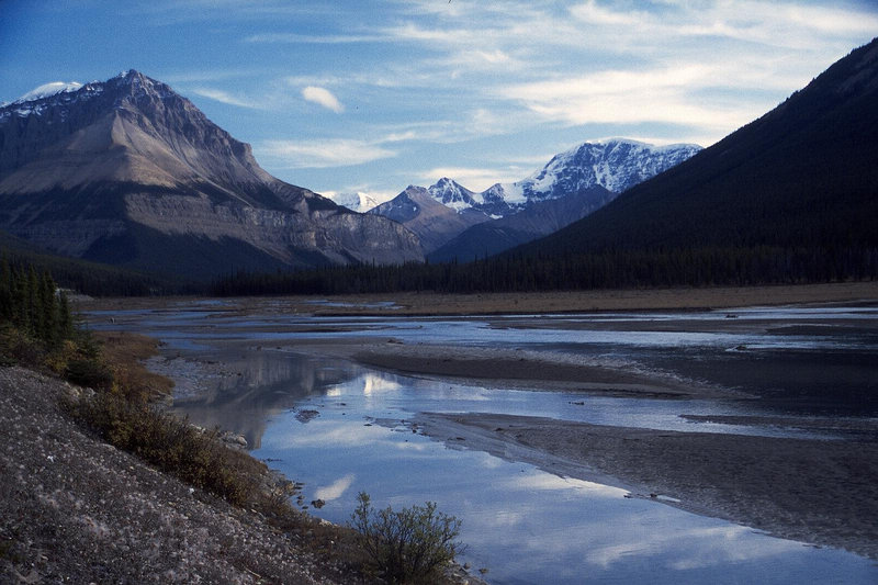
Then we turn around and head back and - you guessed it - take more scenic picture of Mt. Athabasca and others.