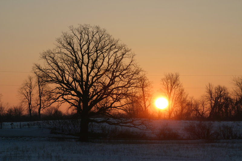
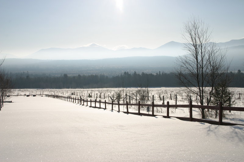
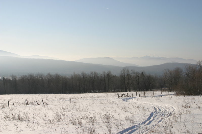
We get started nice and early, and by the time the sun rises we are across the border and in upstate NY farm country.
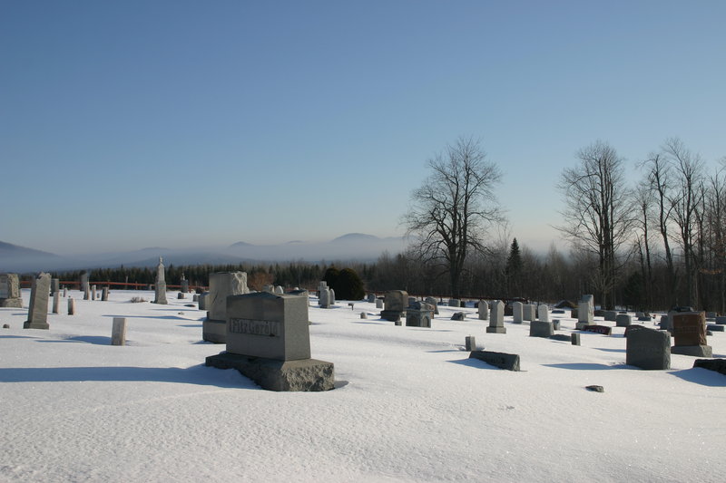
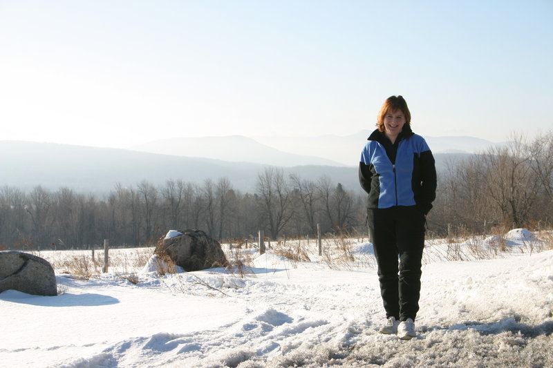
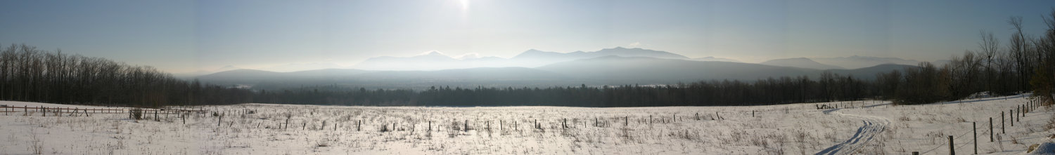
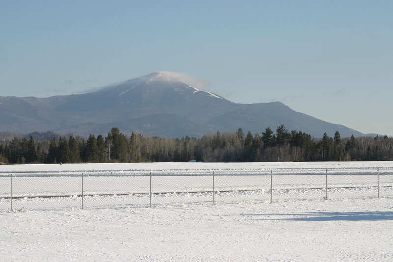
Here we are at the famous vista at the cemetery just north of Saranac Lake. In the first picture, the cloud-shrouded summit is Whiteface.
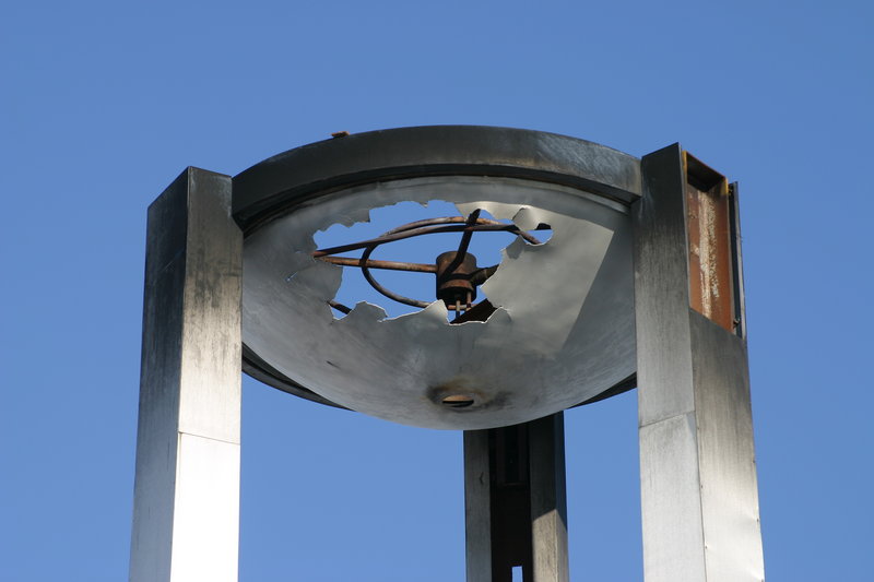
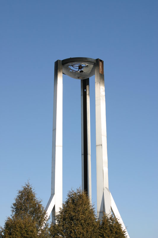
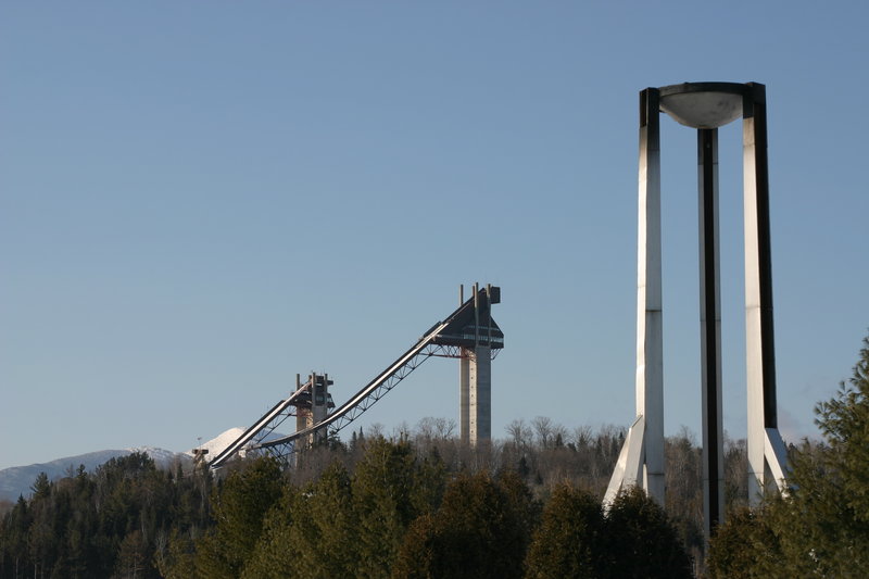
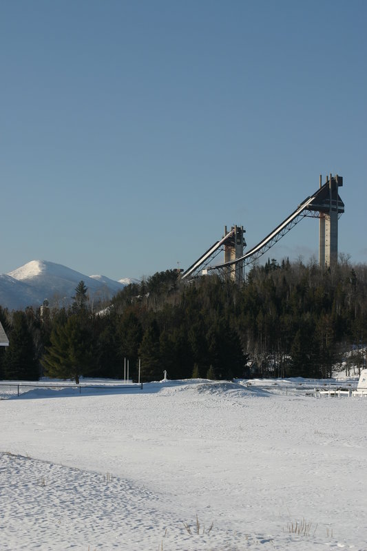
A short pause to examine the Olympic torch (which does not look in good shape) and the surrounding scenery: Ski jump towers, Whiteface Mountain, MacIntyre range.

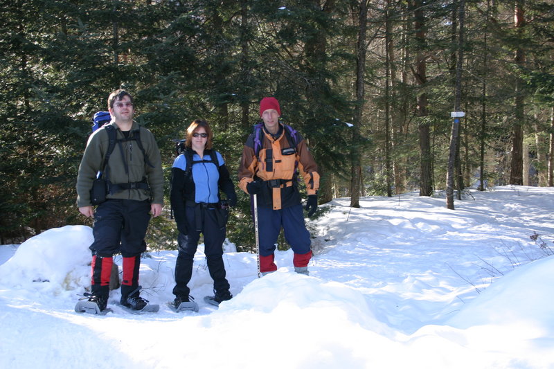
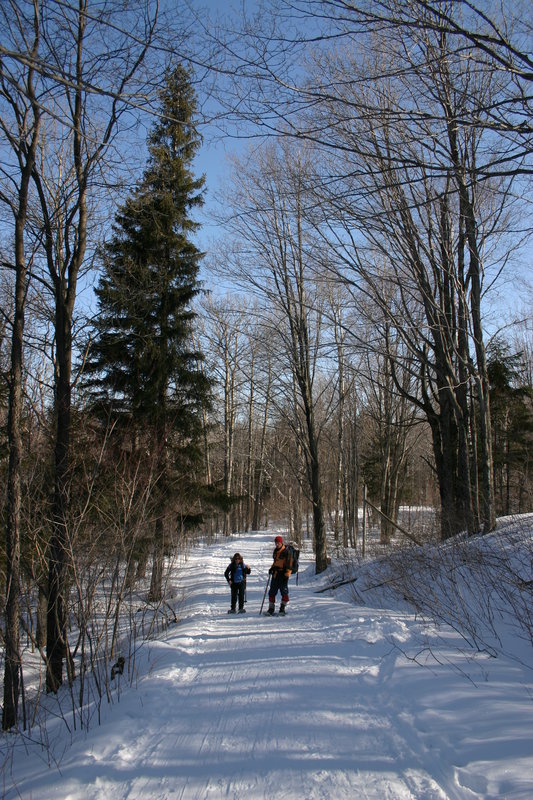
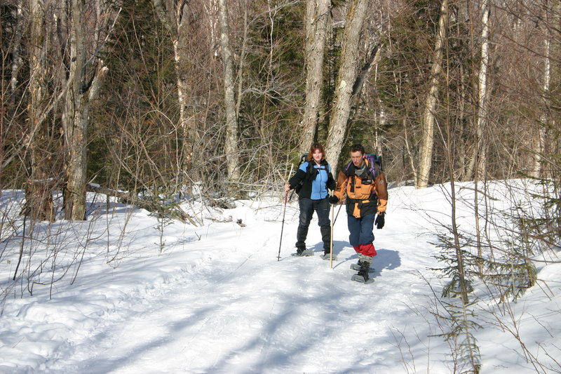
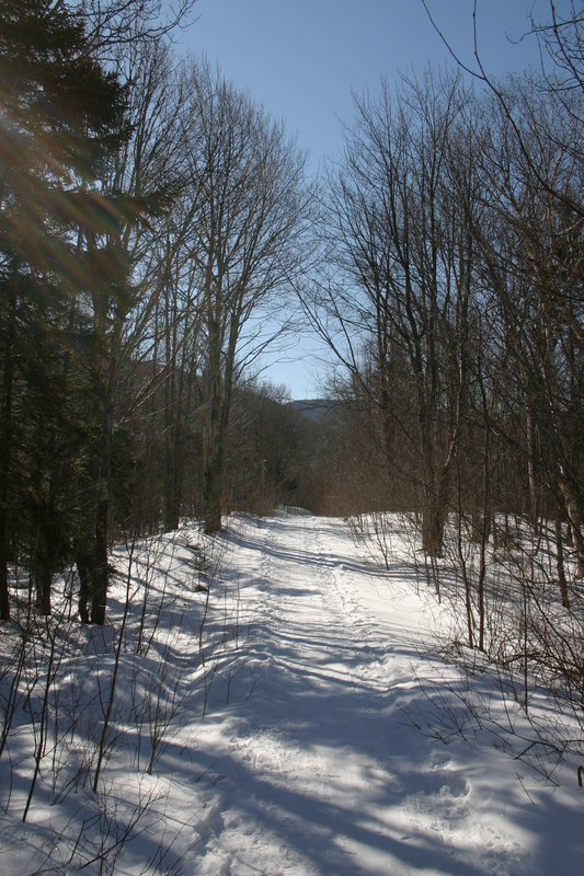
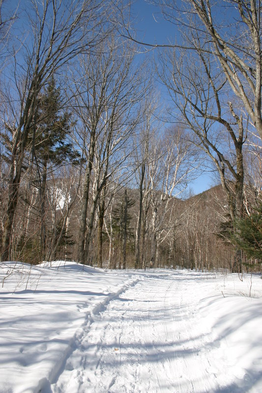
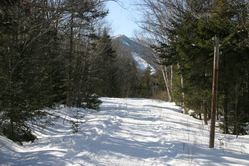
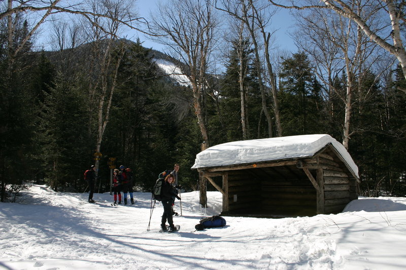
The hike in from South Meadow

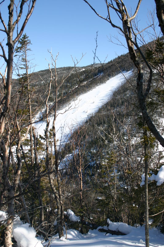
This open slide on Wright Peak is worth considerable effort to the skiers and snowboarders who hike up there to ski it.

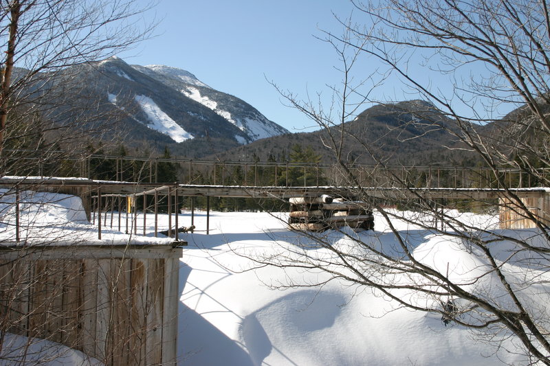
Arrived at Marcy Dam. Our objective is the little bump to the right of Mt. Colden. It doesn't look like much, but it is almost 4000 feet tall. It just happens to be surrounded by some of the highest peaks around here.

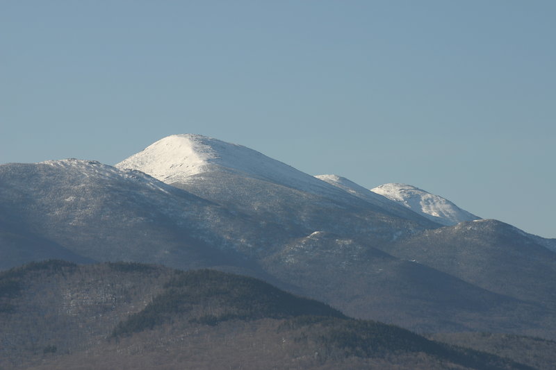
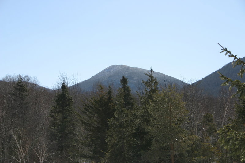
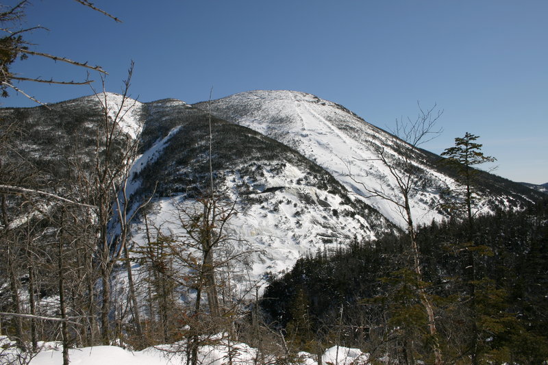
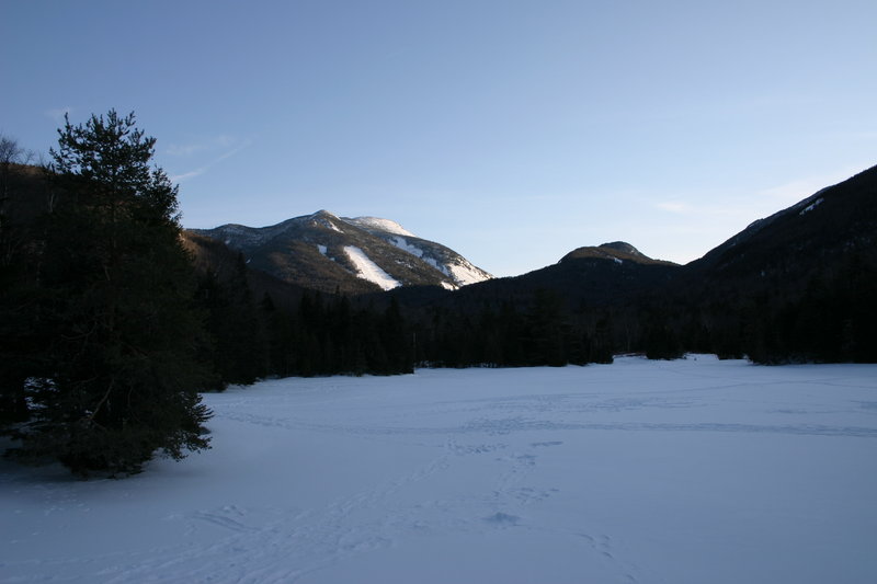
Tabletop Mountain, as seen from Marcy Dam
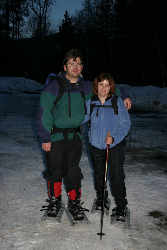
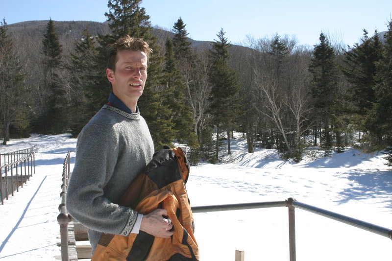
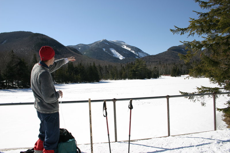
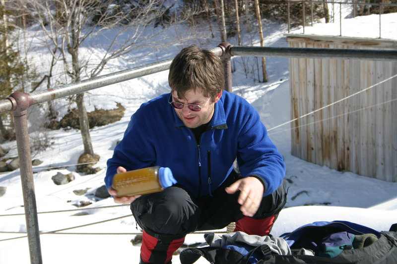
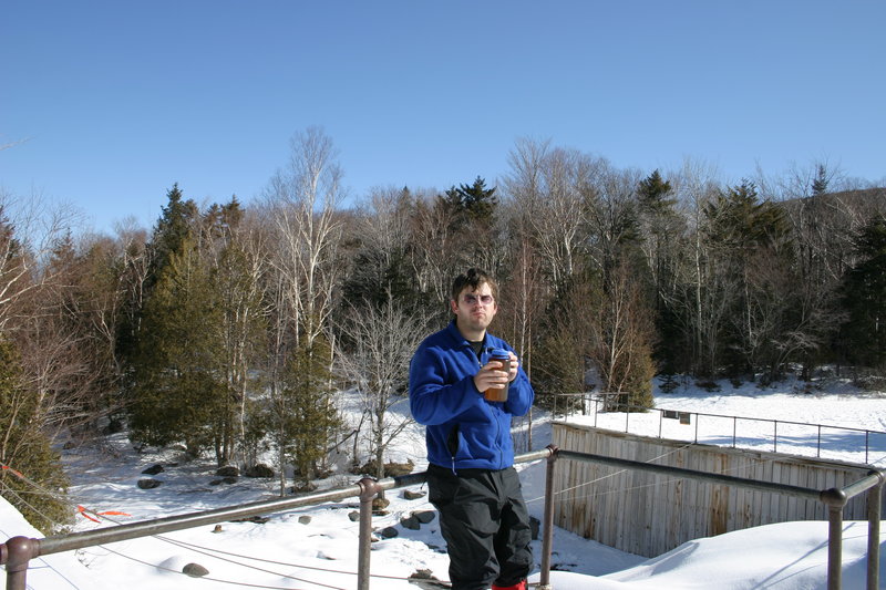
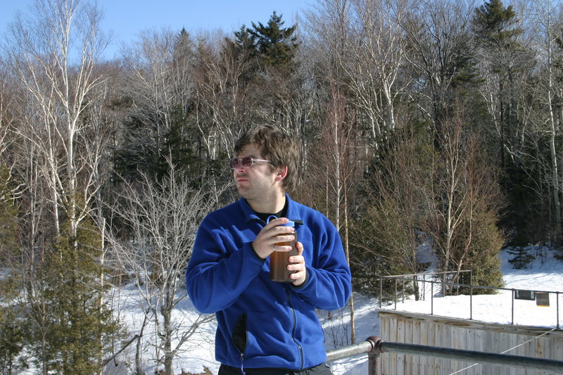
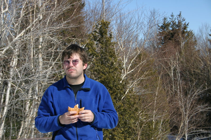
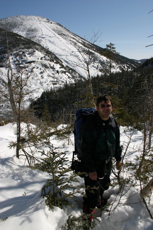
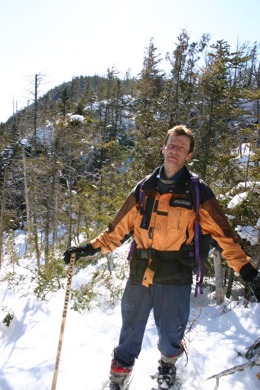
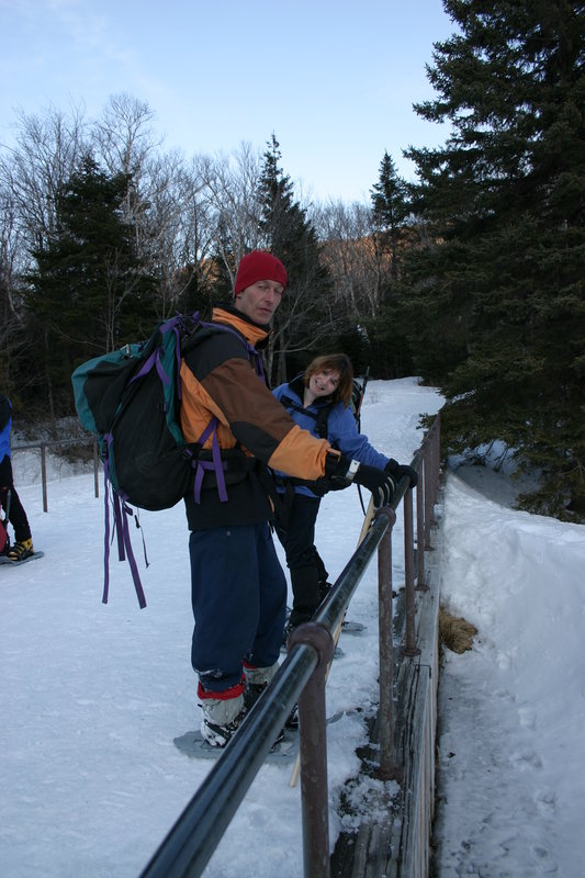
Taking a food and drink break. As usual for me, not enough drink (so I will have a dehydration headache next day) and forget to apply sunblock.


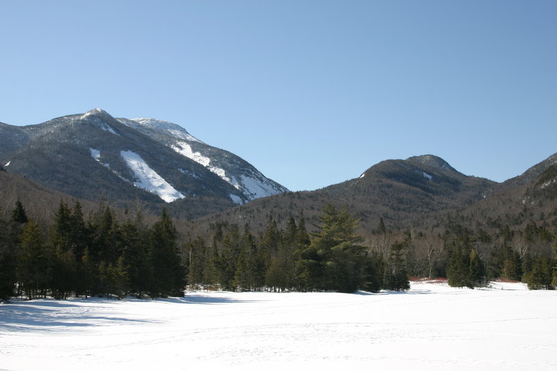
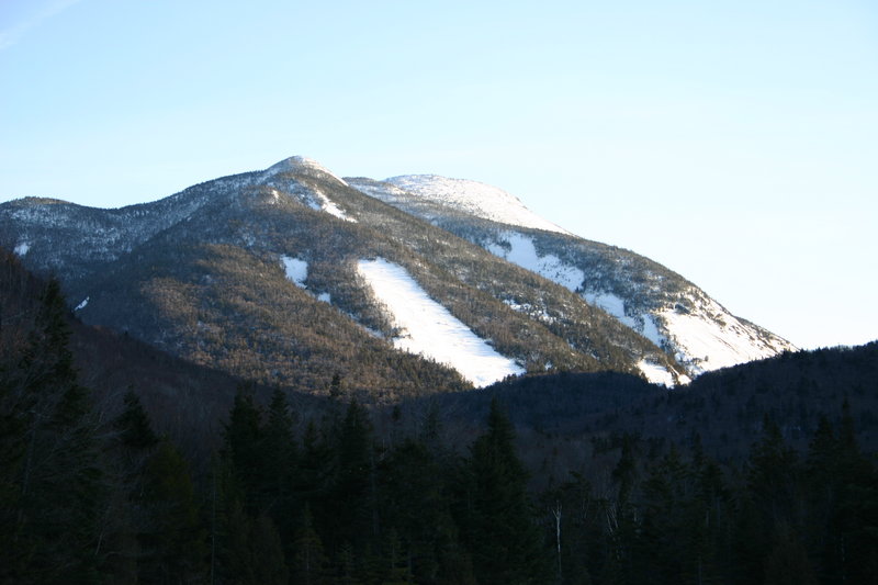
Wright Peak and part of Whale's Tail seen from Marcy Dam

Avalanche Lean-To. Navigating according to topo map, we mean to go into the bush here to go up along the ridge of Avalanche Mountain. But a ranger who happens by strongly advises us to go up the trail first and then cut across a deep ravine, to reduce the amount of bushwhacking. We never do find out if this advice was good or not.
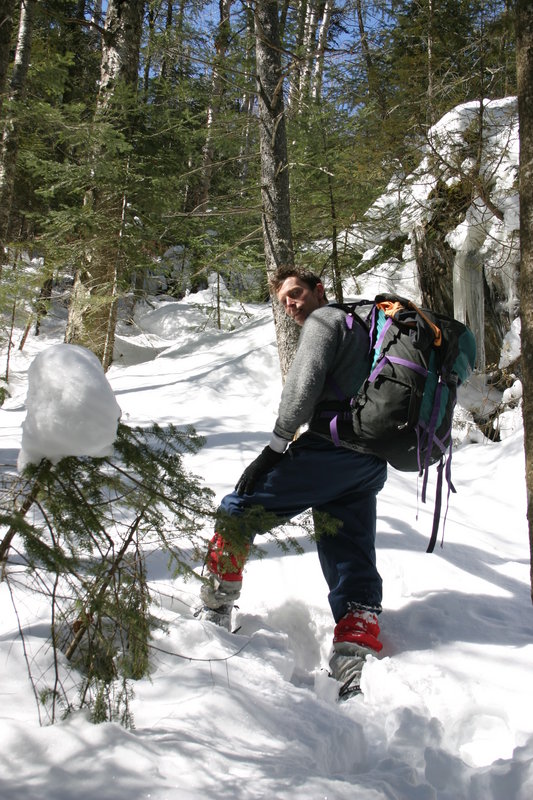
Minutes after going into the bush, Lisa makes acquaintance with her first Spruce Trap. Not yet having any practice with extricating herself under her own power, she requires Jan's assistance.

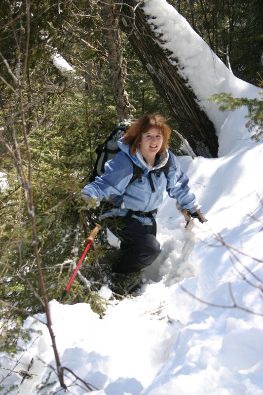
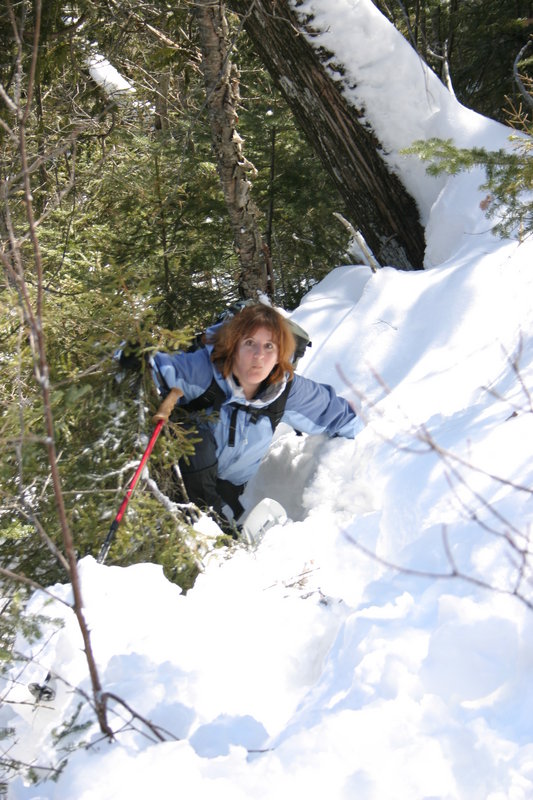
Across the ravine, we now go up a very steep slope to reach the ridge of Avalanche Mountain where I planned to go up originally. Fortunately the snow is fairly heavy and compacted, or we would not have made it past this point. Digging your way uphill through powder snow is almost futile.
Much later, and after enormous struggles through dense bush and continuous spruce traps in snow that's probably seven feet deep, Jan and I give up (Lisa stopped a short way back). We are 344 metres from the actual summit, which is visible in the background in the last picture. It would take another hour of effort to reach it, and then we would have to hike out in the dark. In the background, a perspective of Mt. Colden that you don't see every day. Our location is the top of a cliff band, roughly above the head end of Avalanche Lake.
All the while we are on top of this mountain, Algonquin and Wright Peak have glowed majestically in the sun, and Whiteface was visible in the distance, but always through trees. I meant to take the a photo of the least obstructed view, but ended up taking none. Here is a picture of the slide on Mt. Colden that resulted from Hurricane Floyd in 1999 and buried part of Avalanche Pass.
Back at Marcy Dam
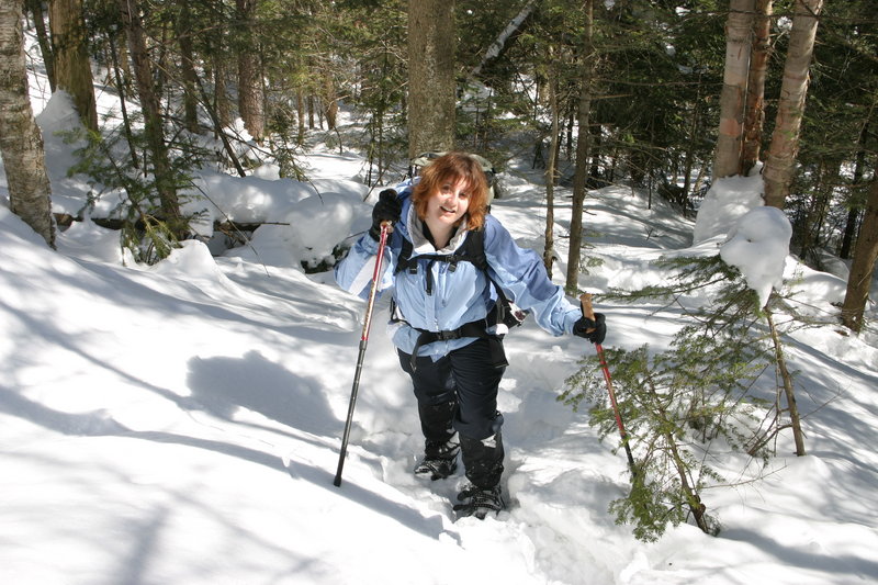
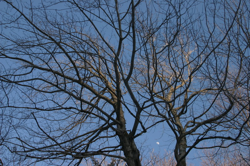
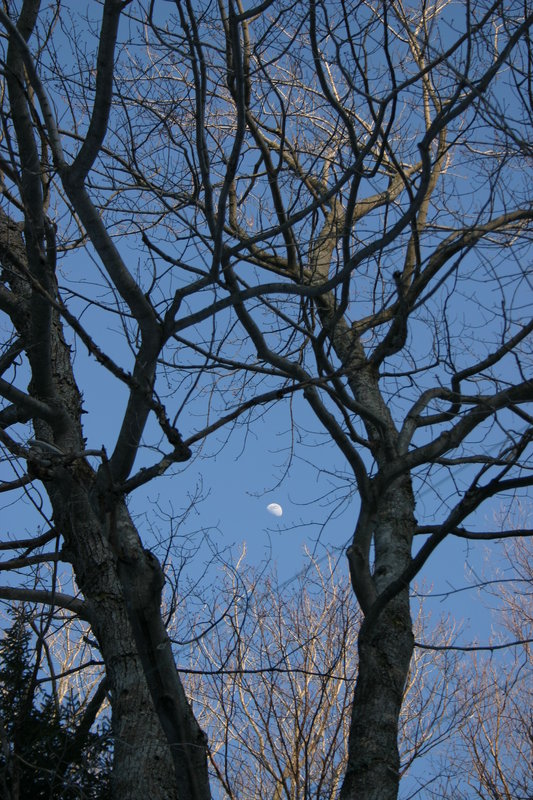
Jan takes a couple of photos on the hike out
Finished, 10 hours after we started. Total distance approximately 12km on trail and 3km in the bush.