
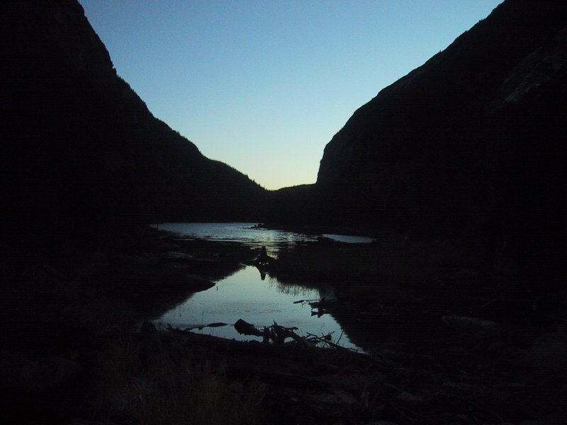
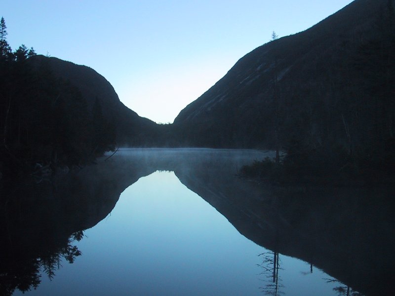
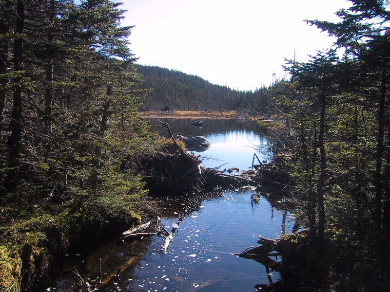
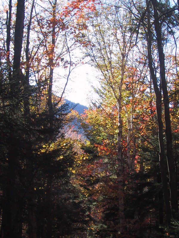
After camping out overnight at South Meadow, we hit the trail just after 4AM. The moon is bright overhead, and the trail is smooth, so we are able to walk the first 6km or so without using our headlamps at all. Andrew takes a moonlight picture of the usual scene at Marcy Dam, which we photograph in all seasons, moods and weather whenever we pass it.
It is getting light by the time we are at Avalanche Lake
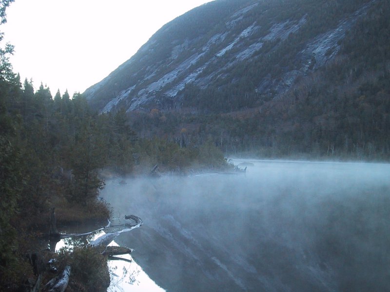
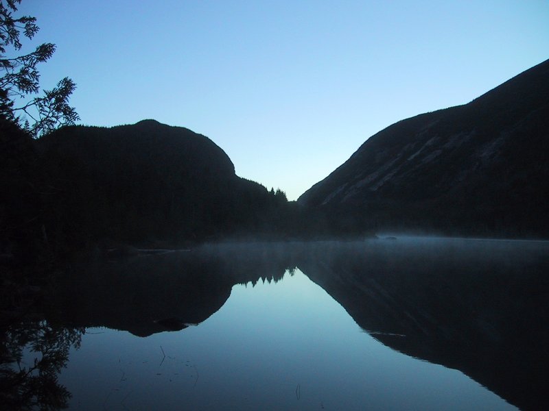
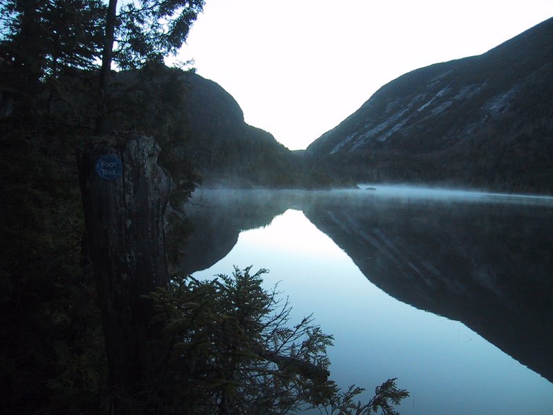
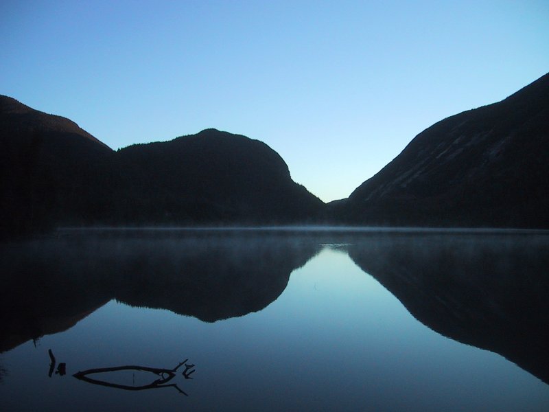
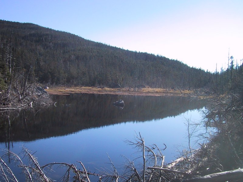
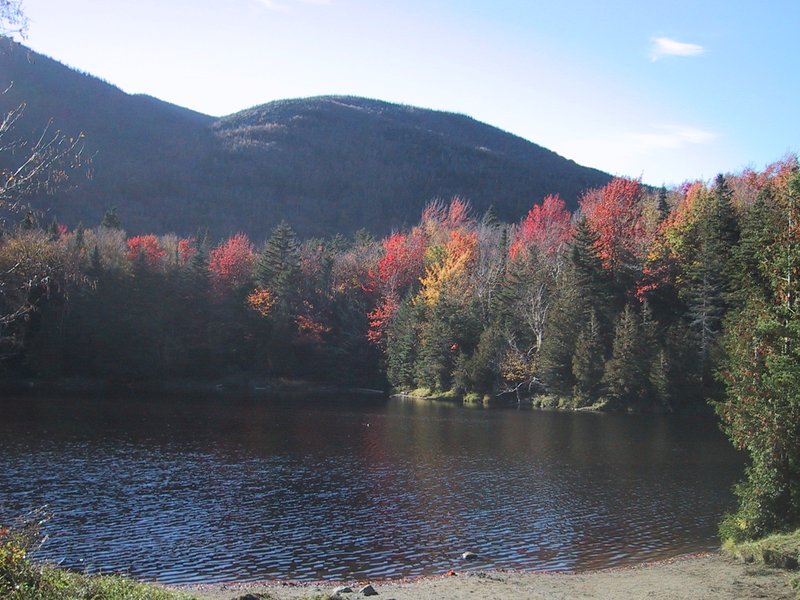
Here we are at Lake Colden, shortly before sunrise. Multiple attemtps to capture the beautiful dawn atmosphere.


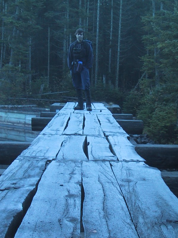
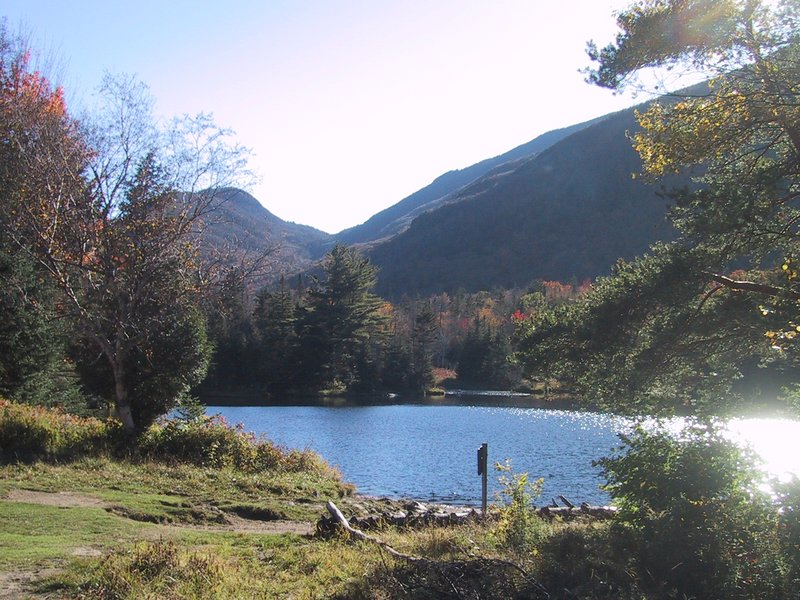
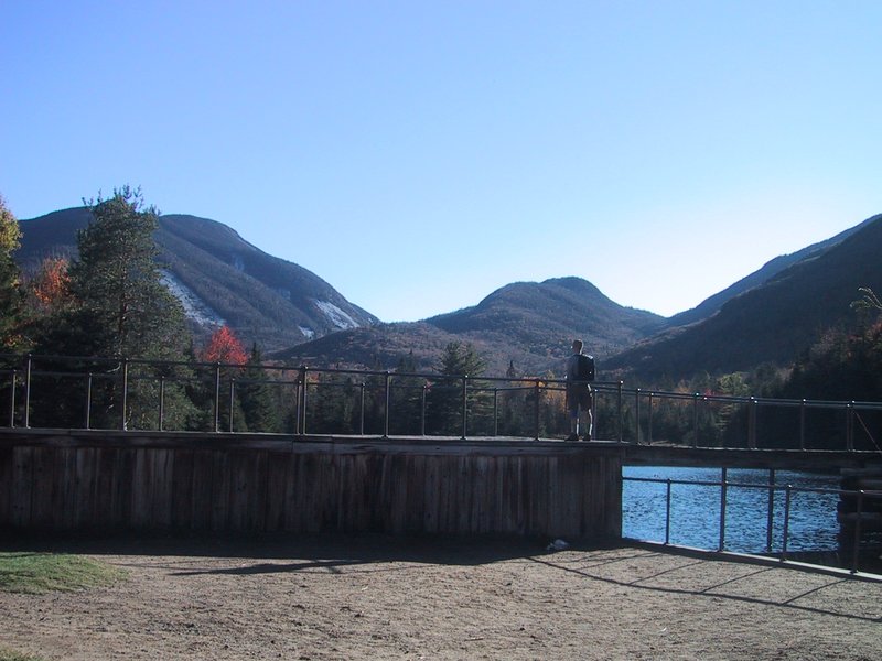
After recent very warm weather, we are now getting night frost. The Lake Colden dam crossing is icy and you have to watch your step.
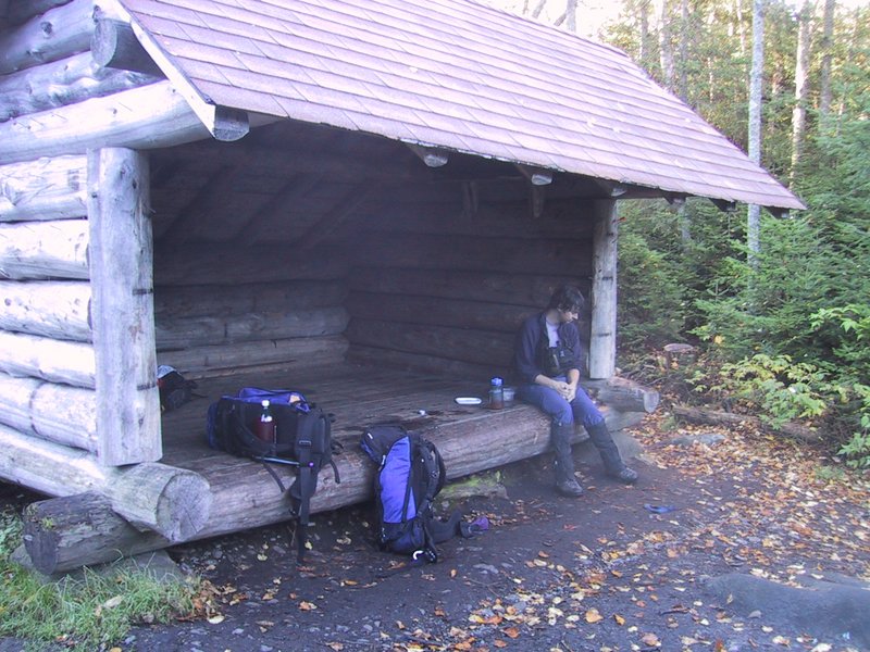
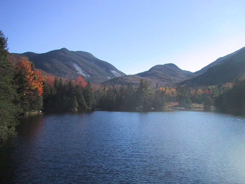
The rains of the day before must have missed the high peaks, because the water level in the lakes is low, and the creeks are a mere trickle. And since we are also on an ambitious hike, we don't stop to photograph the cascades of the Opalescent River. We have done so generously on past hikes anyway. Here we are already at Twin Brooks lean-to.
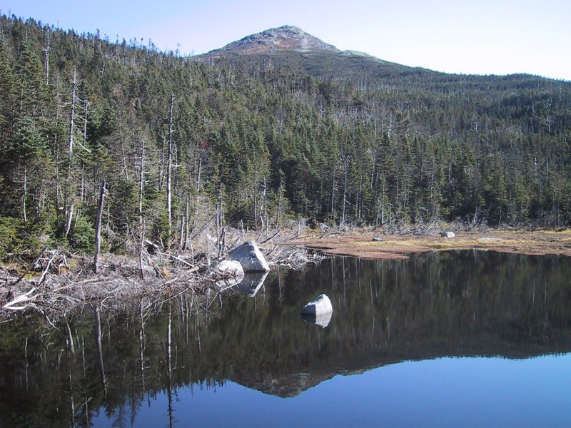
We have reached Lake Tear of the Clouds. I photograph Mt. Marcy and its reflection.
The herd path up Gray Peak starts directly across the creek at the outlet of the lake. It is unproblematic to follow.

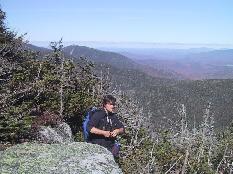
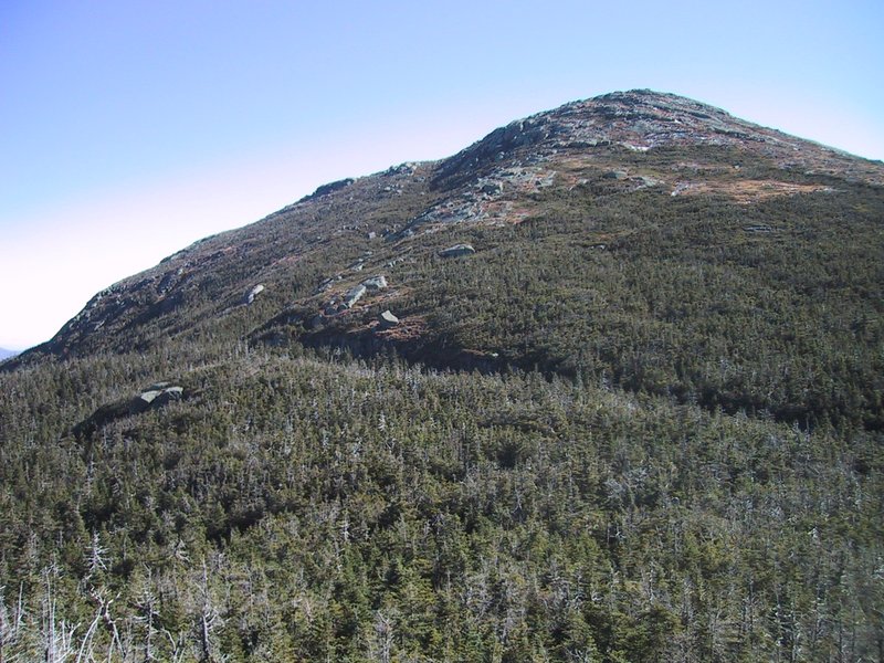
The summit is reached in fairly short order, and despite being a nondescript fully wooded ridge, it actually has excellent lookouts, so I am categorizing the pictures a little. First, those looking south at Mt. Skylight or toward the hazy distant view just past Mt. Skylight to the southeast.
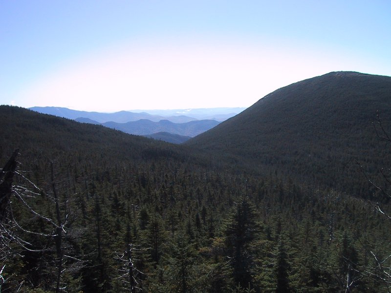
Views looking toward Mt. Marcy (turning slightly to the left from the previous ones.

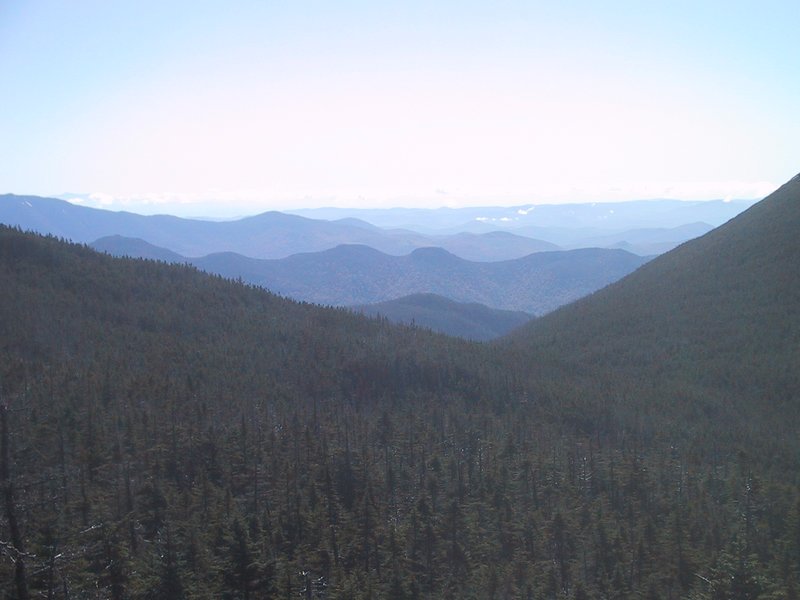
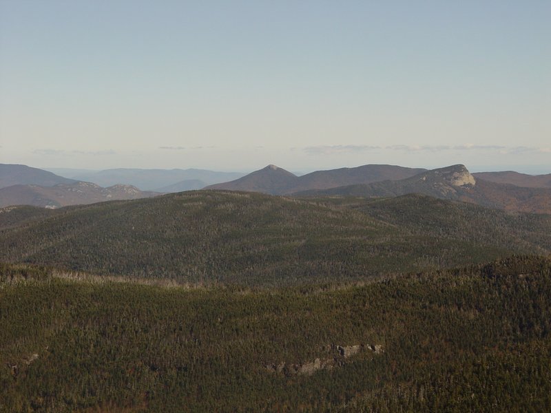
View southwest towards the "Upper Works" mine area. You can just see a large tailings pile.
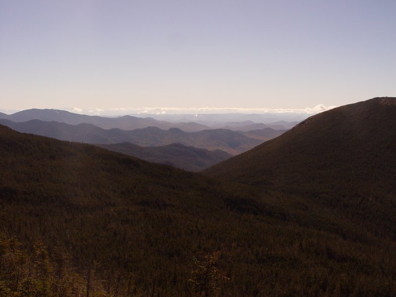
View north towards Lake Placid and Whiteface Mountain.

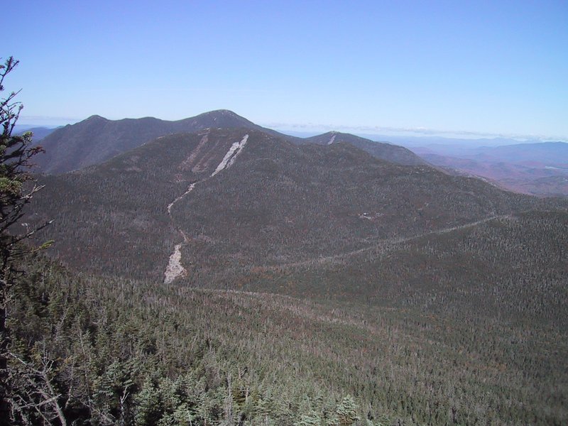
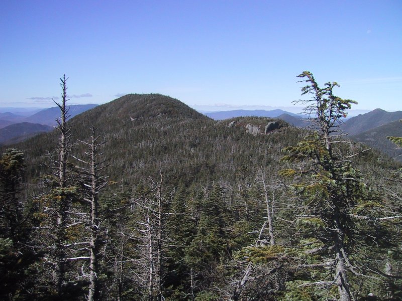
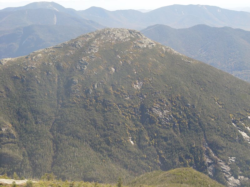
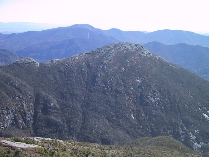
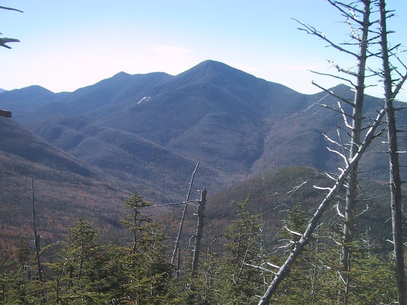
View northwest, toward Mt. Colden and the MacIntyre range (Iroquois, Algonquin, Wright) behind.
View northeast to Cascade and Big Slide Mountains.
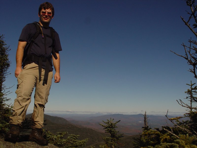
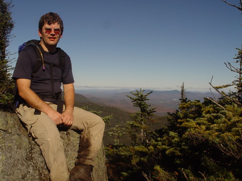
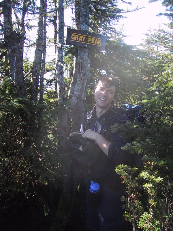
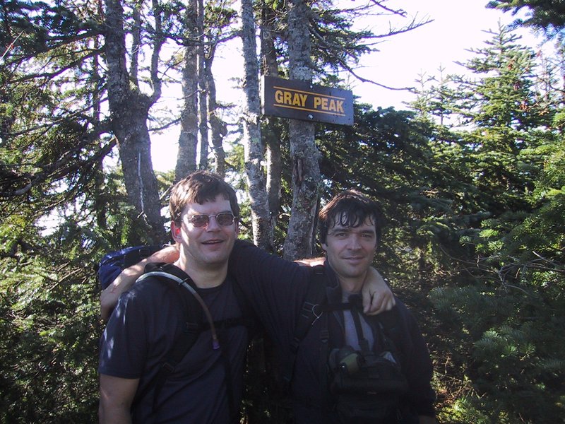
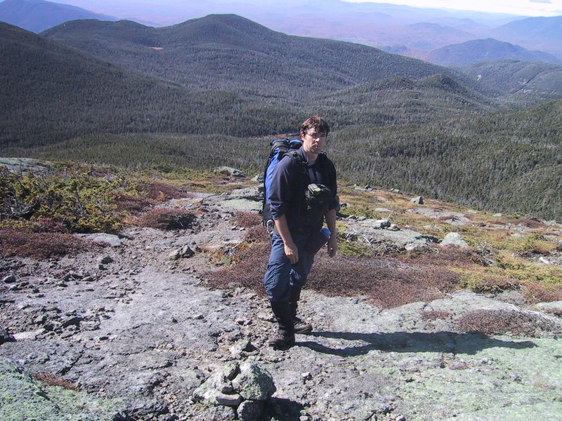
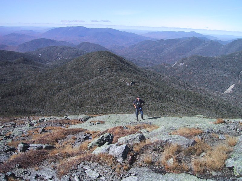
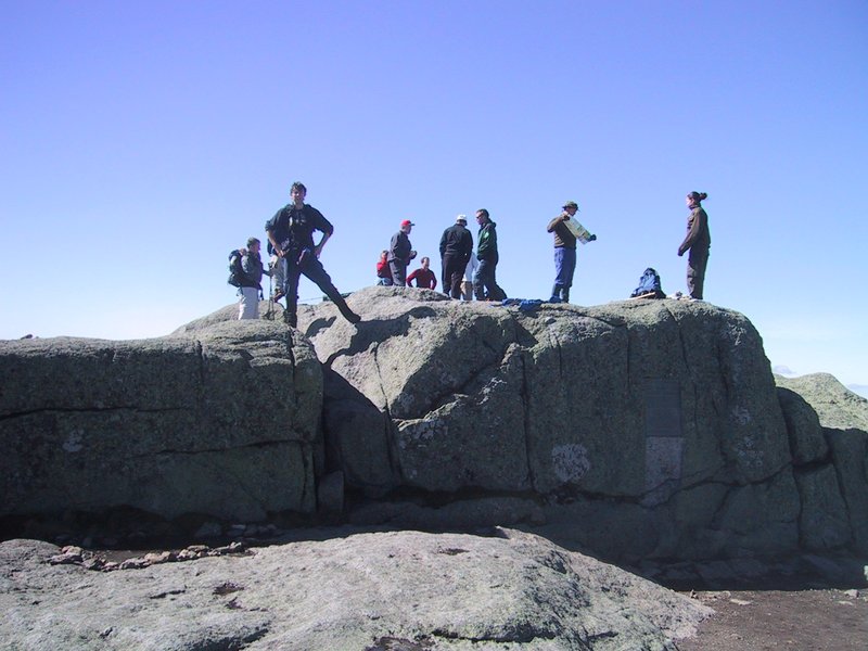
Various proud summit shots on this, our final peak of the 46!
It is possible to go directly to Mt. Marcy from here. There is a readily followable track on the ground. It is, however, not matched by a gap in the vegetation above, so it is more of a guided bushwhack than a trail walk. It takes us about an hour to get over there.


Finally in the open again on the slopes of Mt. Marcy.

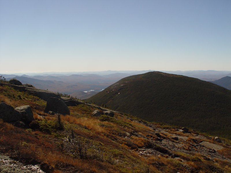
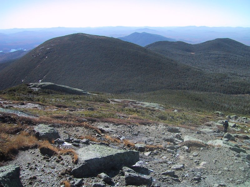

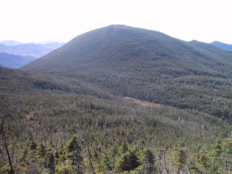
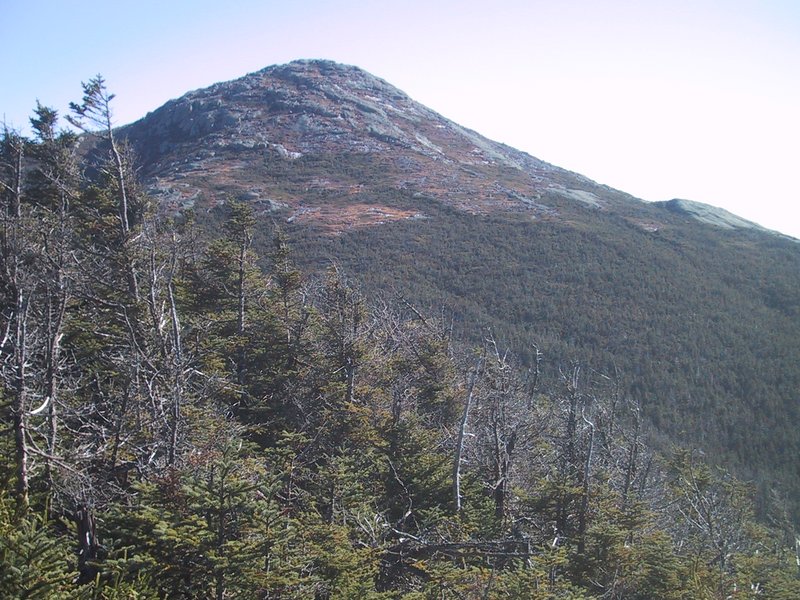
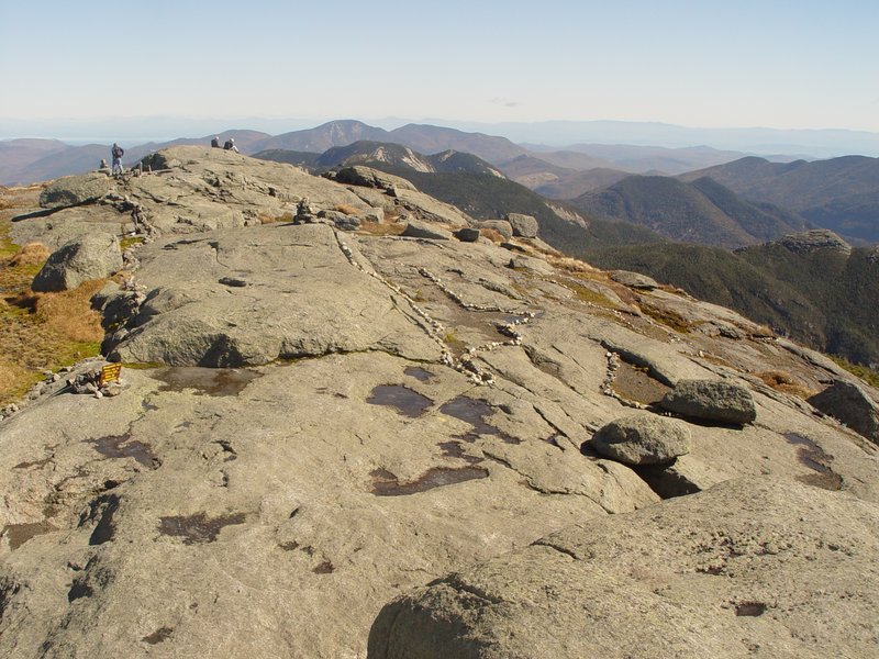
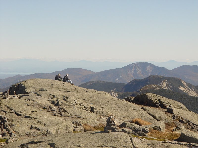
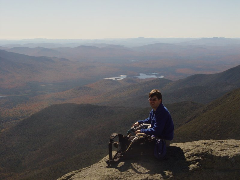
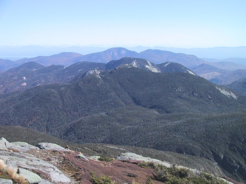
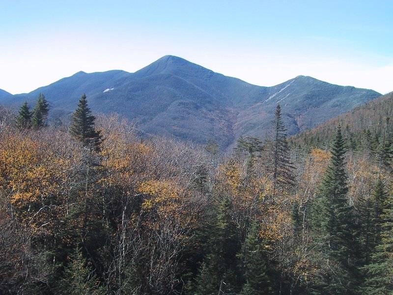
The summit is gained. This is my third time on Marcy (not counting one unsuccessful winter attempt) and the first time on a beautiful clear mid-day. The view is thoroughly enjoyed and photographed. Significant views are back down to Gray Peak (second picture), Haystack (third picture), Skylight (fourth picture)...
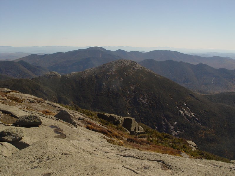


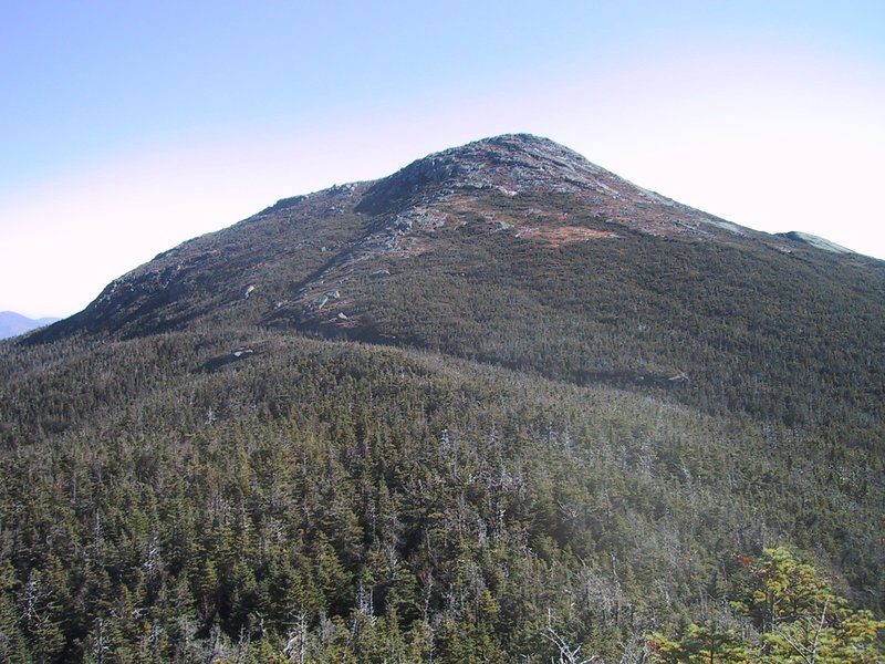
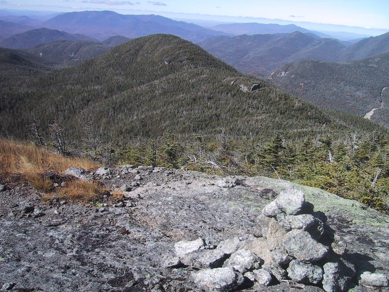
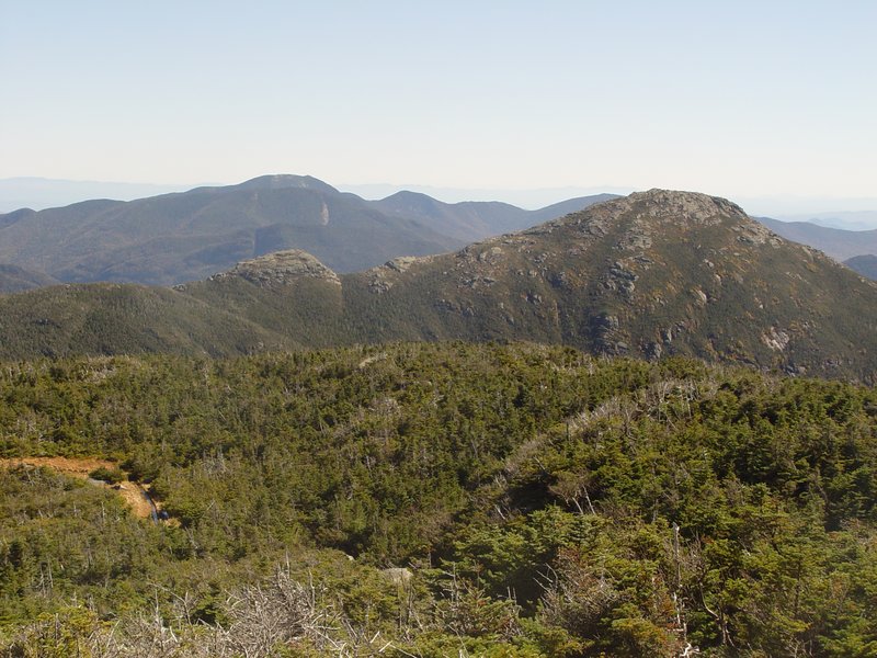
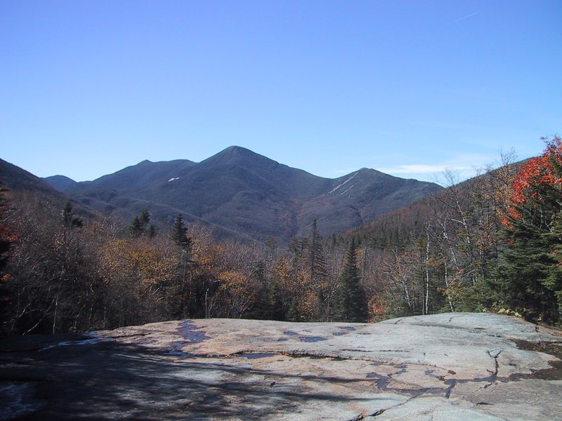
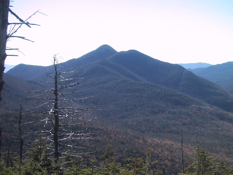
Three of Mt. Haystack, one of the Great Range, one of Colden and the MacIntyres, and one more of Gray Peak, insignificant as it looks from here.


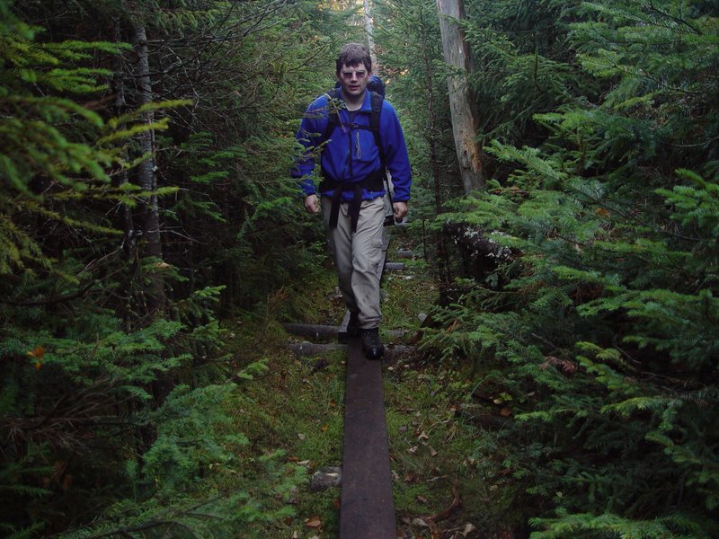
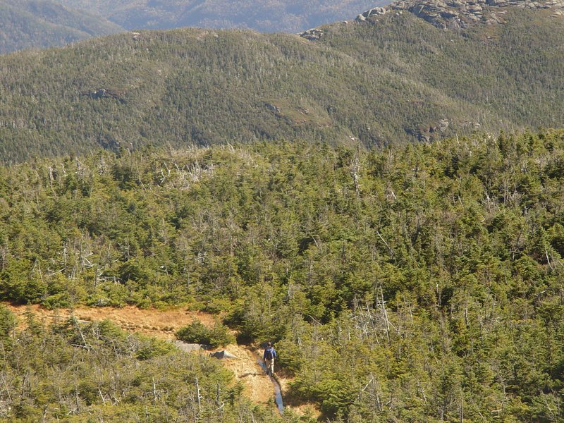
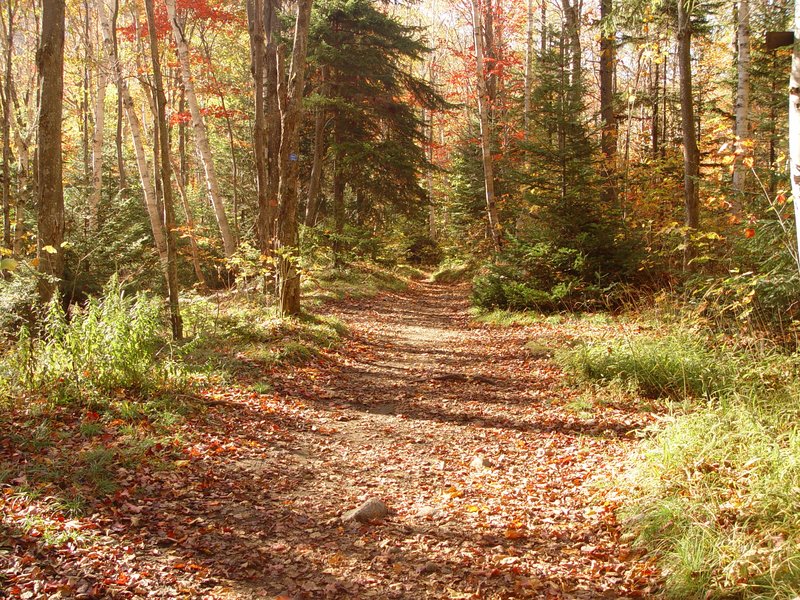
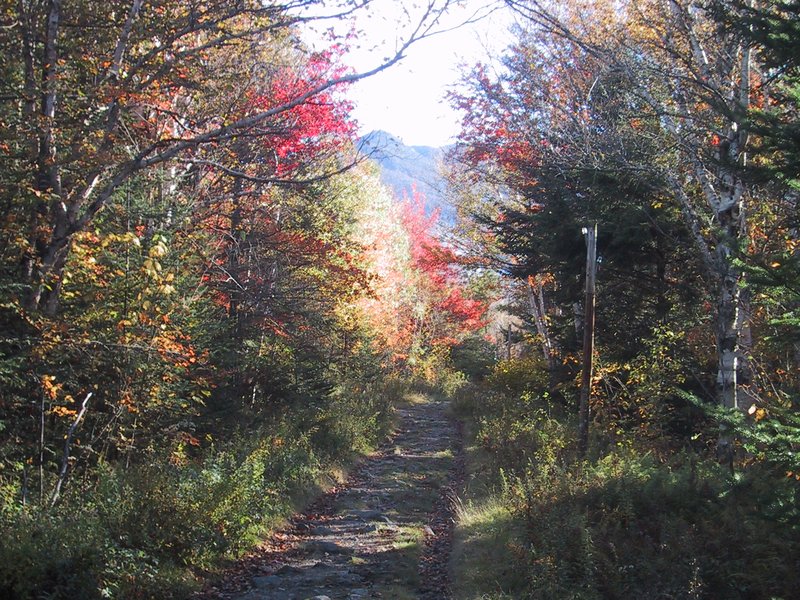
Nice trail just below the treeline

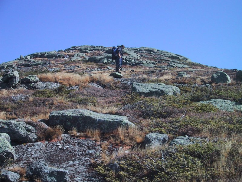
This is the first spot where you get a view of the summit, coming up the Van Hoevenberg Trail. I suspect that some hikers turn around at this point since the summit still looks so far away from here (it actually isn't).
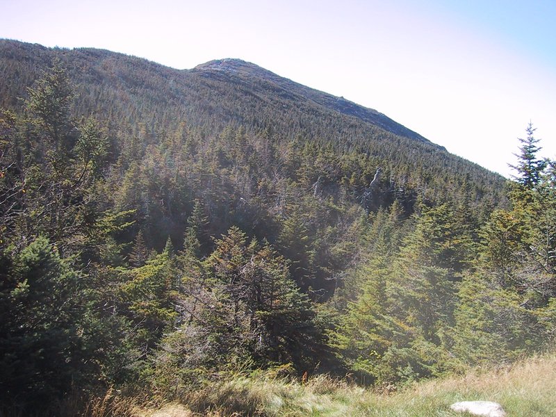
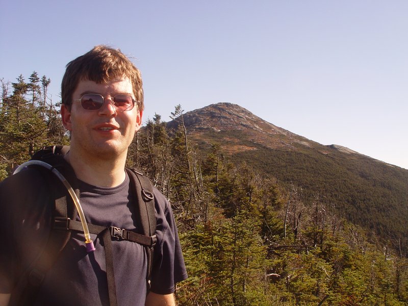
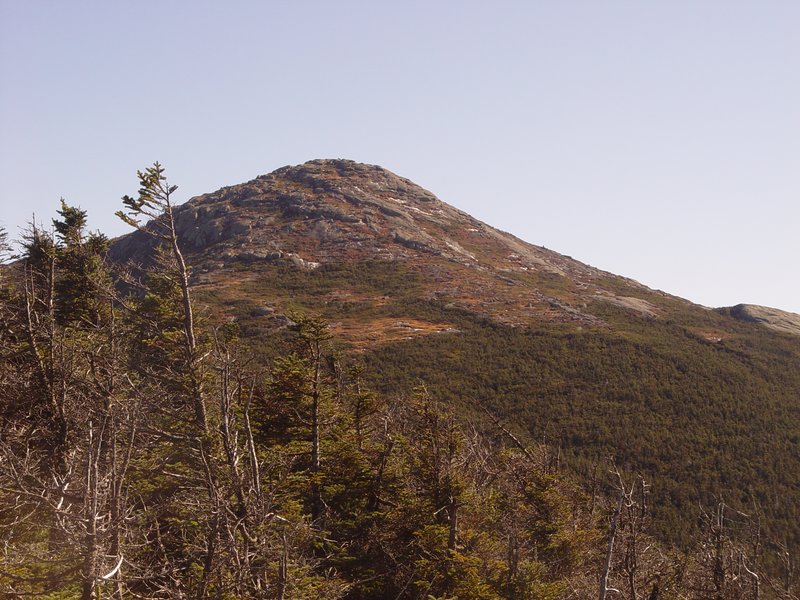
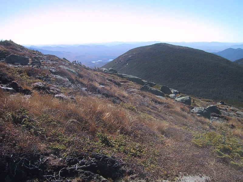
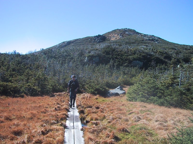
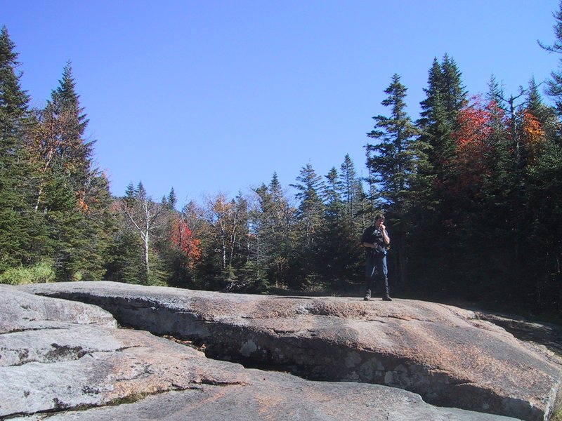
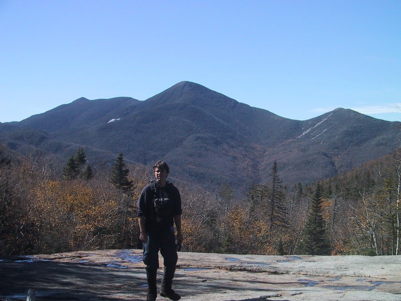
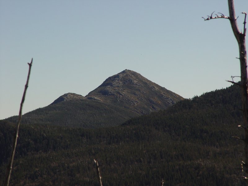
This insignificant looking bump is Tabletop Mountain, our third goal of the day.
Indian Falls in good weather, daylight and no snow! Another rare treat for us. Note that there is very little water flowing today.

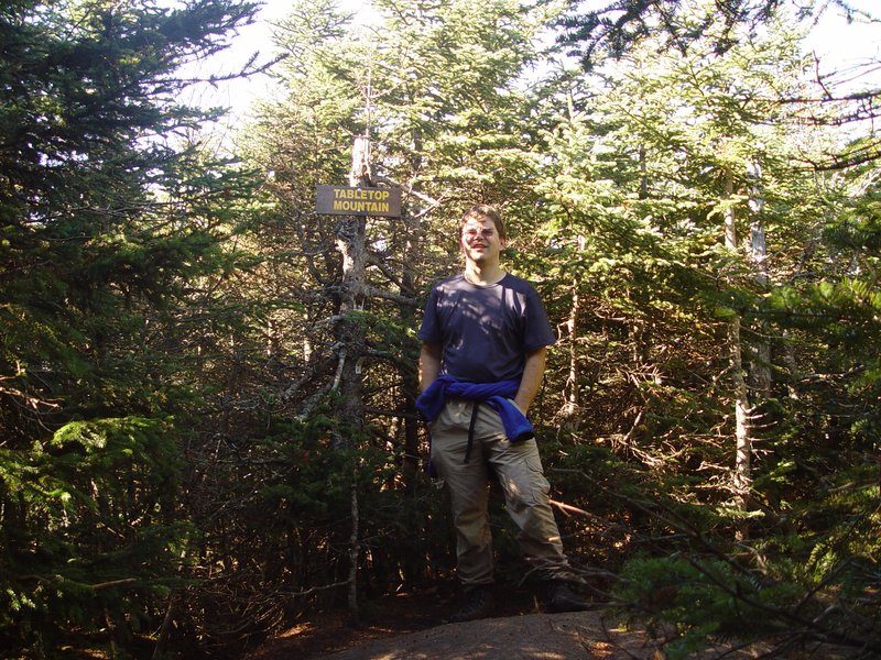
As we start on the herd path up Tabletop Mountain, a hiker coming the other way takes one look at me and says "Are you Markus?" He recognized me from the pictures on my and Andrew's web sites! How excellent! Usually it is Andrew who gets recognized first! If I remember rightly, he is John, from Albany NY. Stupidly we forget to take a photo to include here.
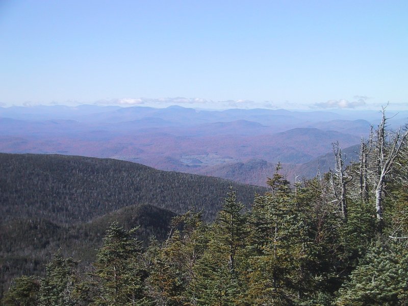
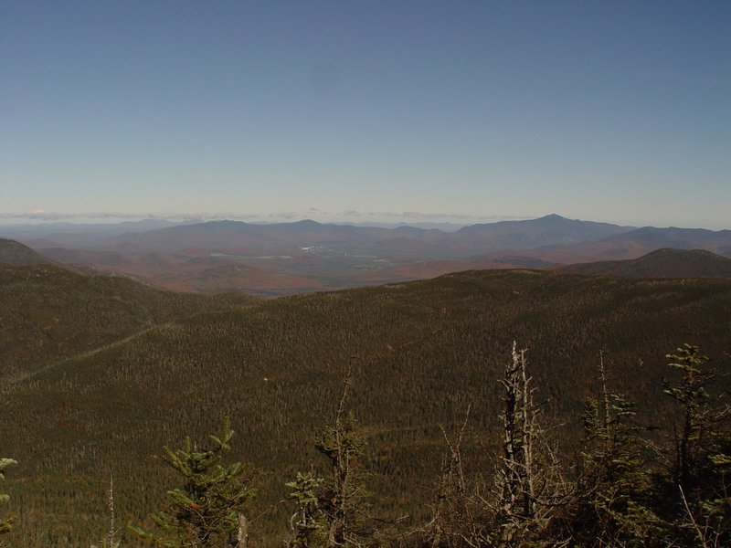
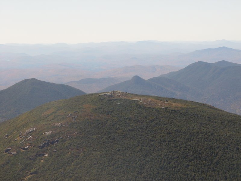
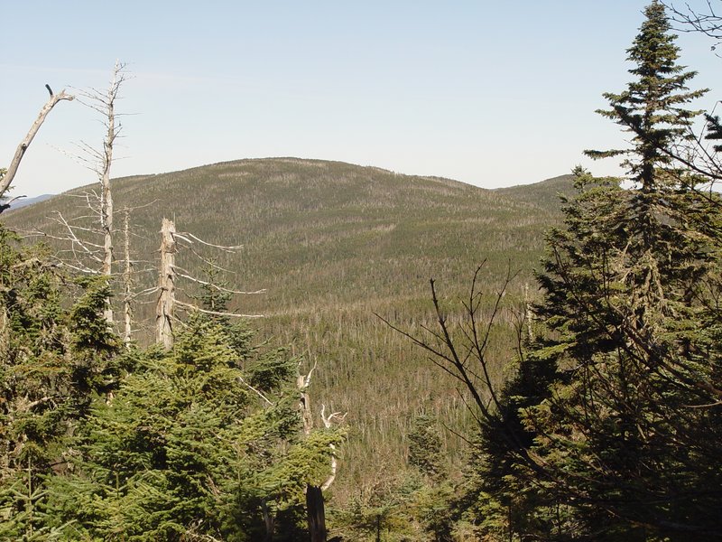
The views from Tabletop are very limited. We do get an unusual angle on Mt. Haystack (first picture), the MacIntyres (third picture) and Mt. Colden (fourth picture).
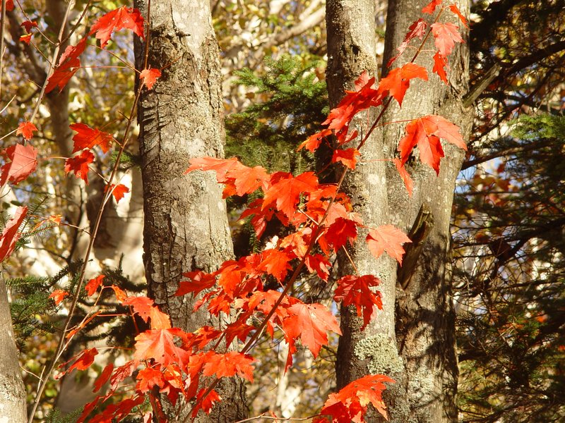
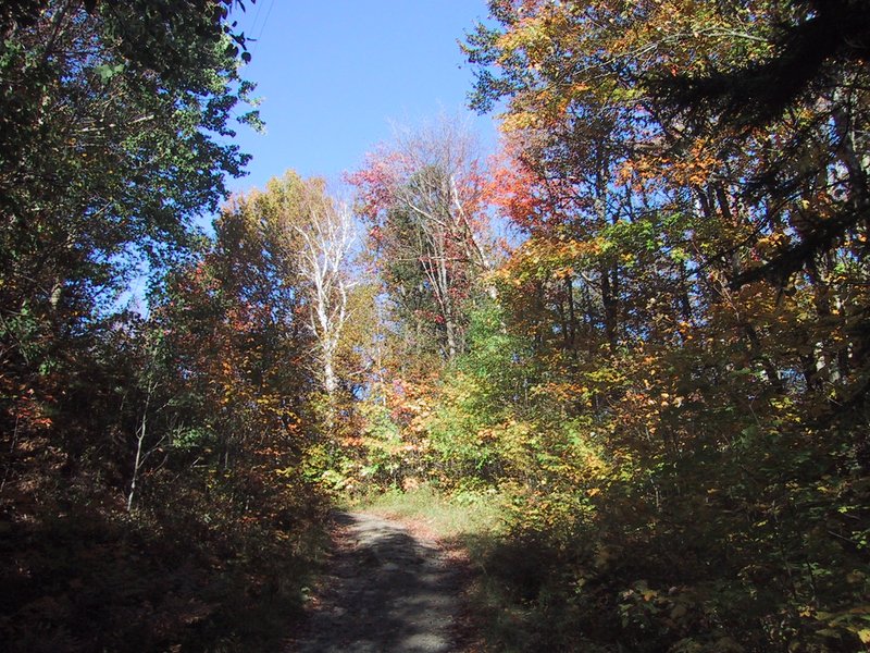
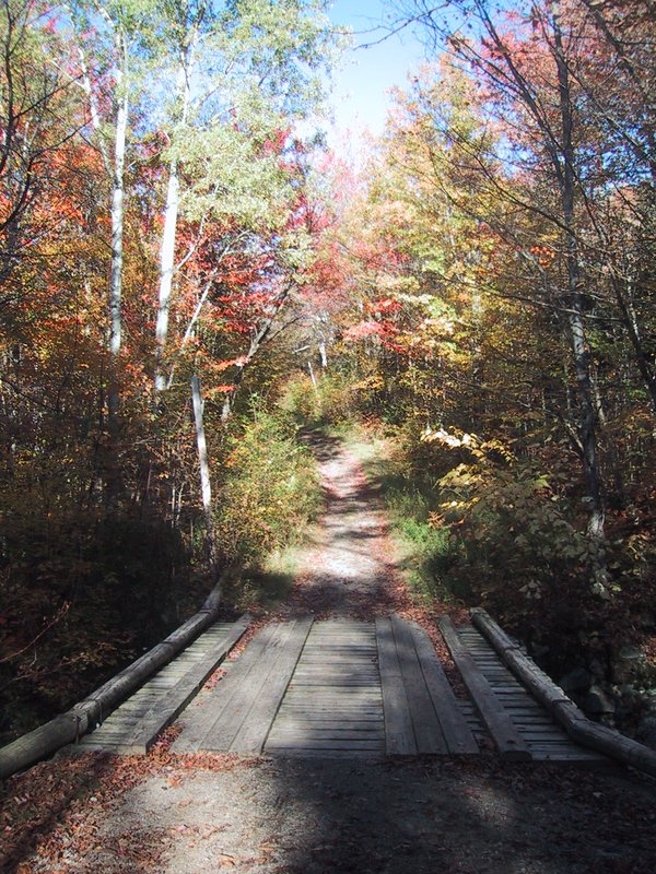
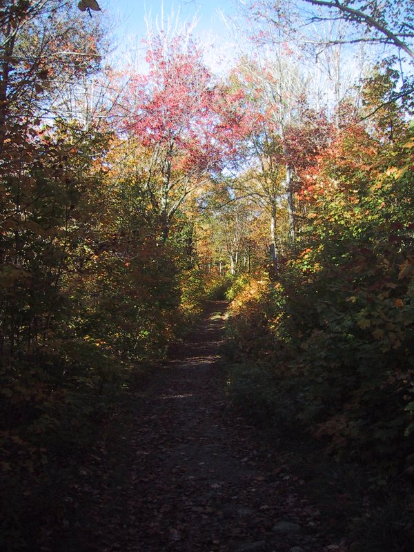
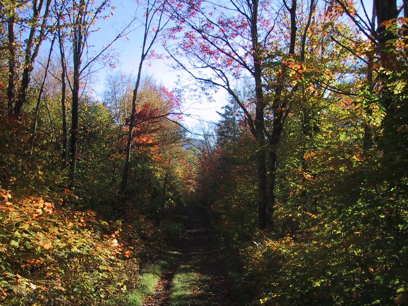
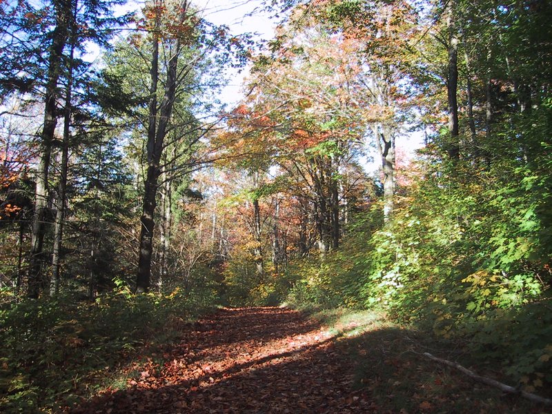
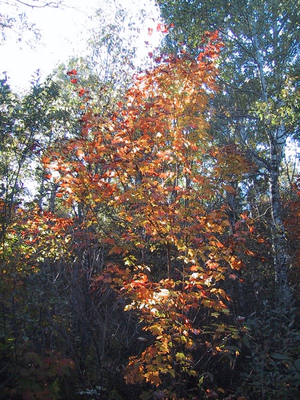
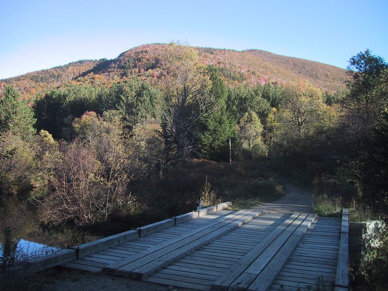
And then all that remains is a long walk out to complete this, my second-longest hike ever at 32.7km. The fall colours are very beautiful in this late light.


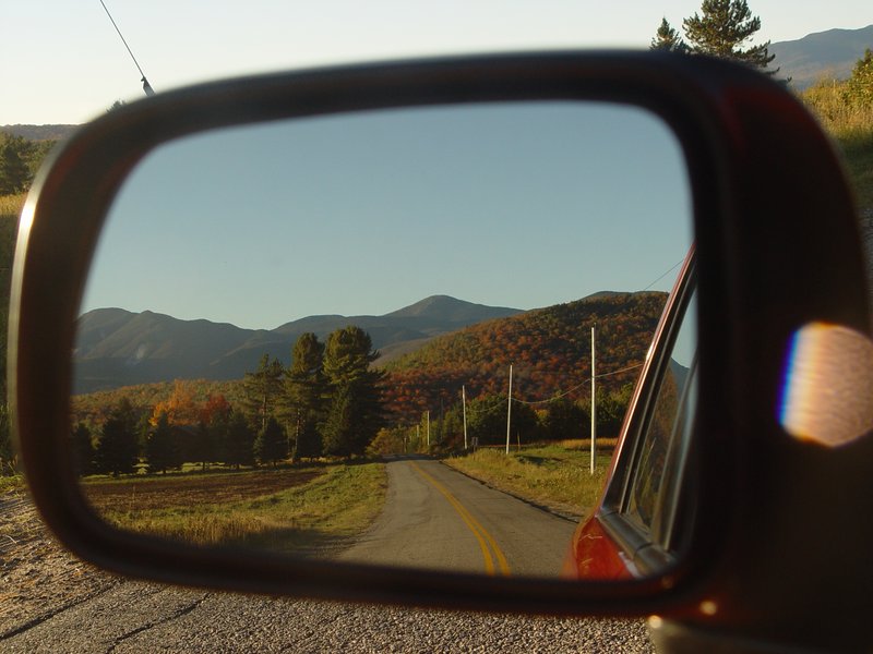
As we drive away, Andrew does a slight variation of the standard view along the road to Adirondak Loj.