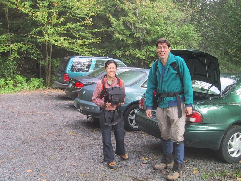
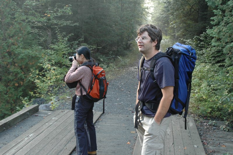
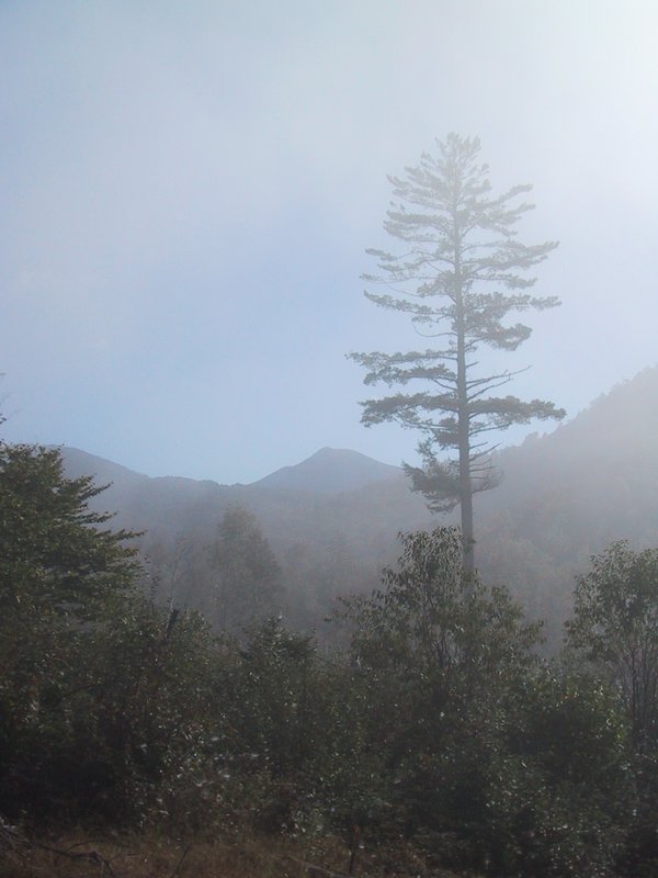

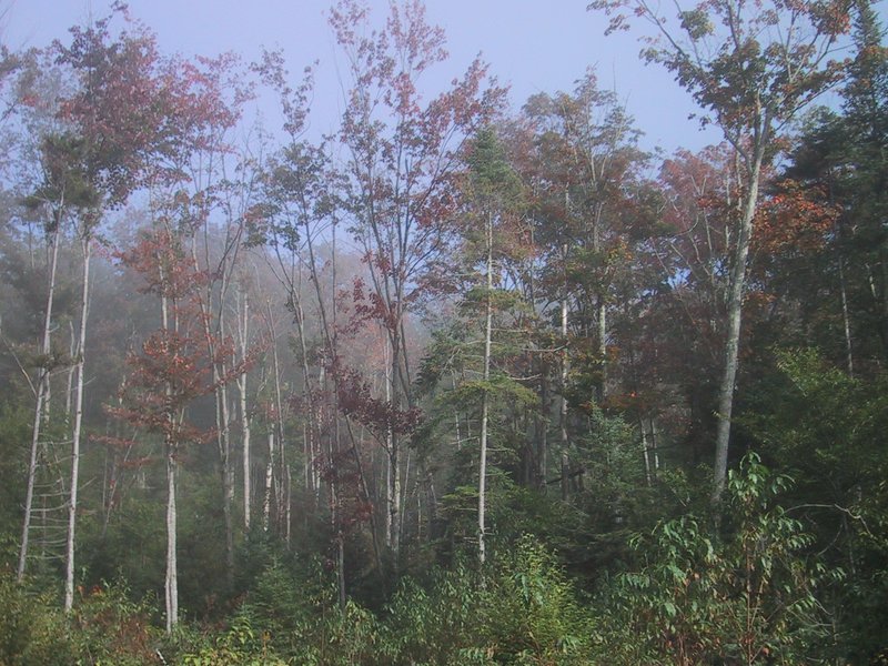

Getting going at Upper Works while there is still morning fog in the air. The first part of the trail goes through a scenically open (recently logged) area. Mt. Colden is visible in the distance.
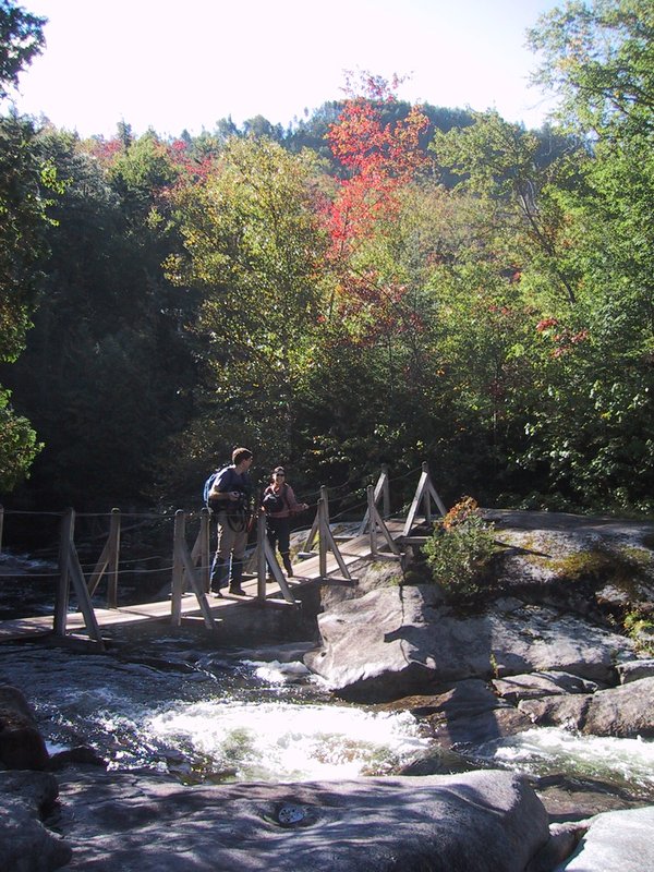
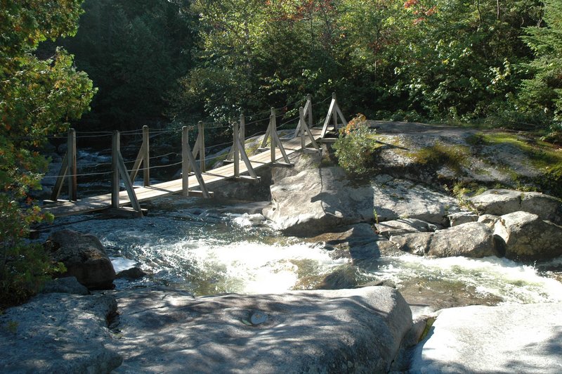
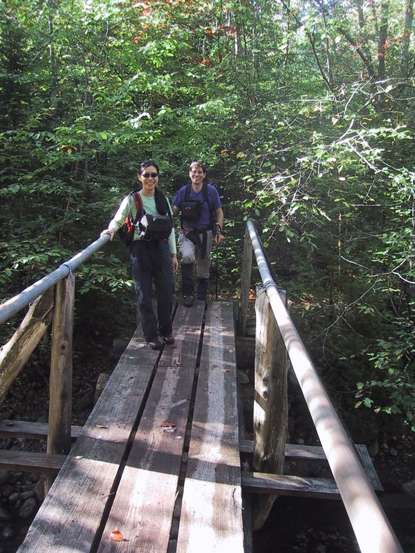
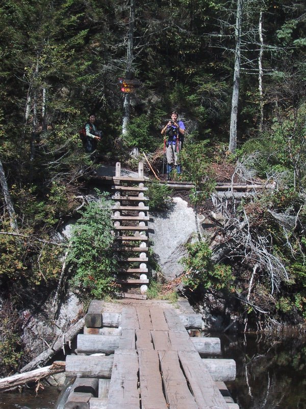
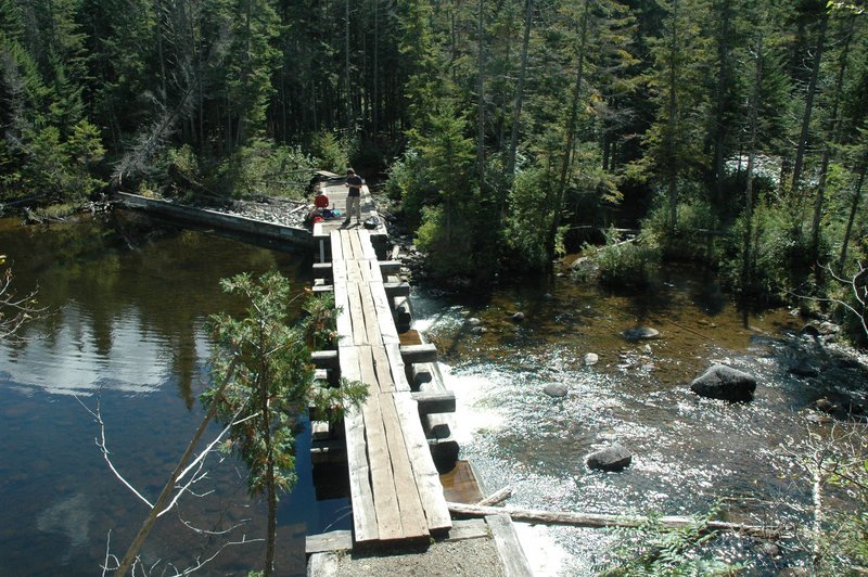
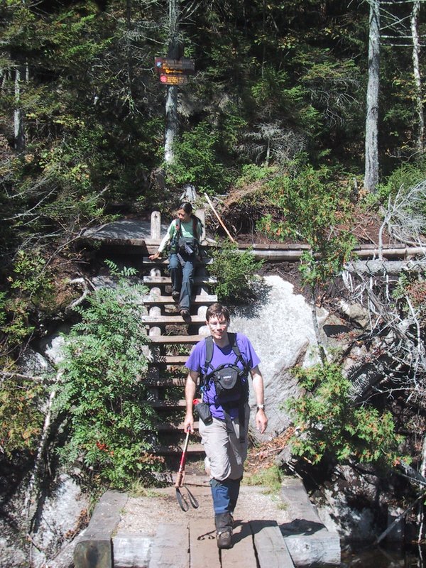
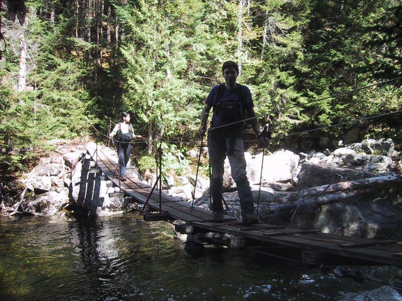
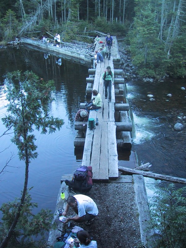
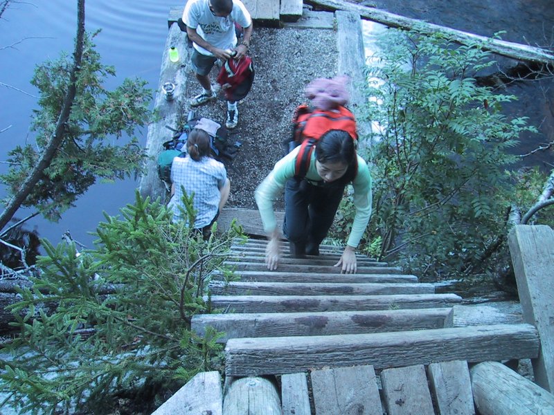
First of many suspension bridges today, over Calamity Brook


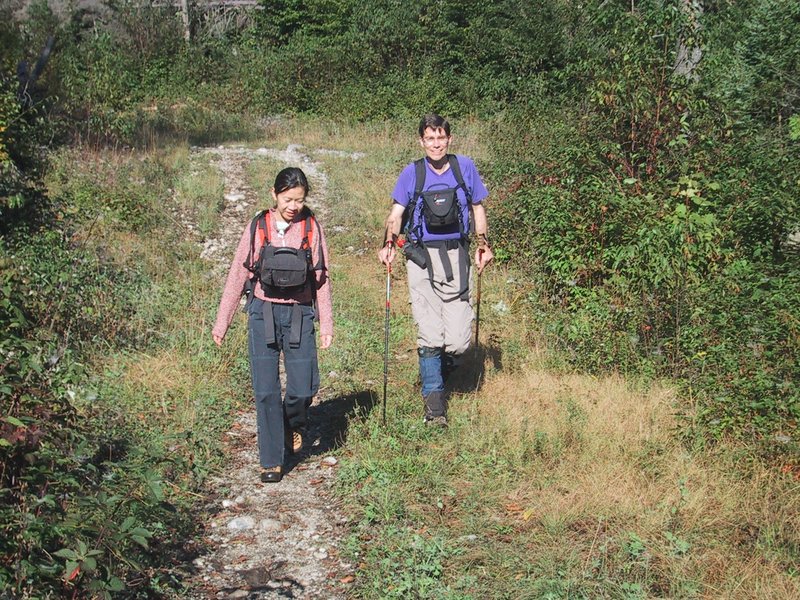
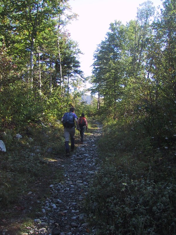
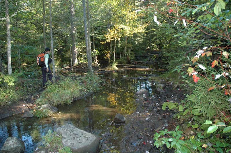
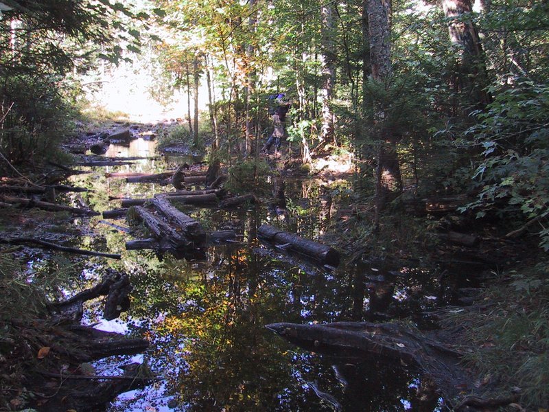
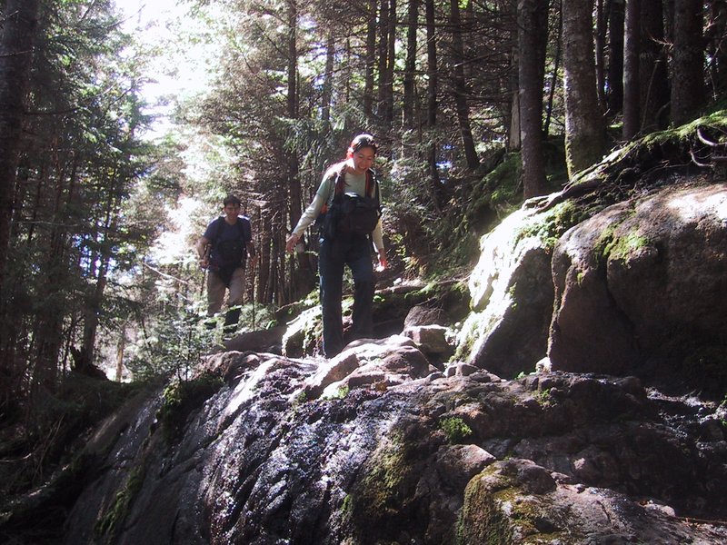
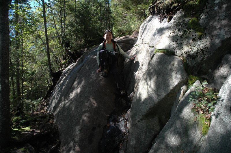
Where the trail is horizontal, sometimes it is very badly muddy because of the heavy rain recently.
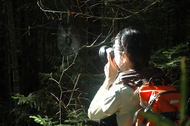
A nice spider web with morning dew still on it is photographed.

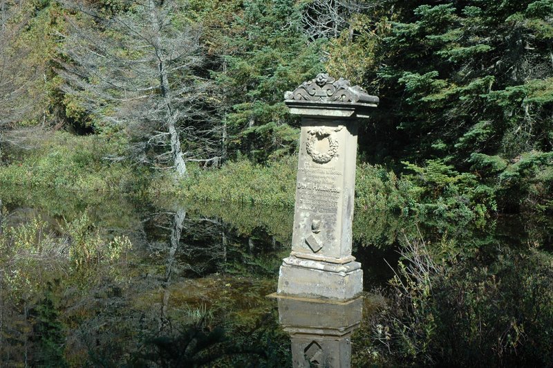
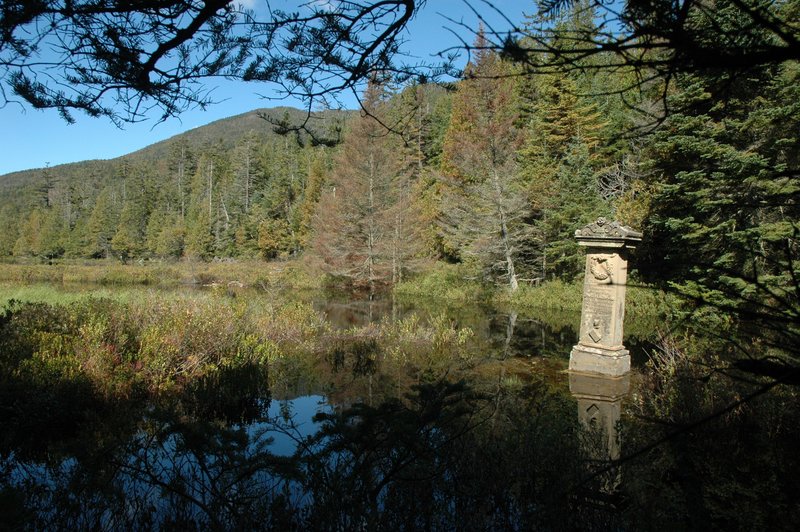
Calamity Pond. Here is where David Henderson lost his life in 1845 when his gun accidentally went off. The monument was erected in his memory in 1850.

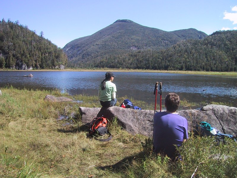
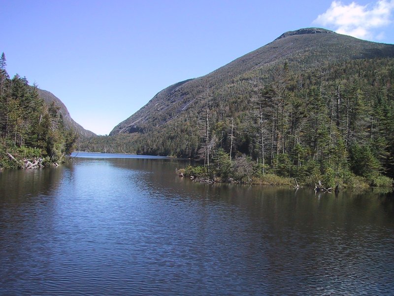
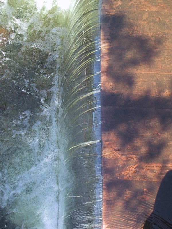
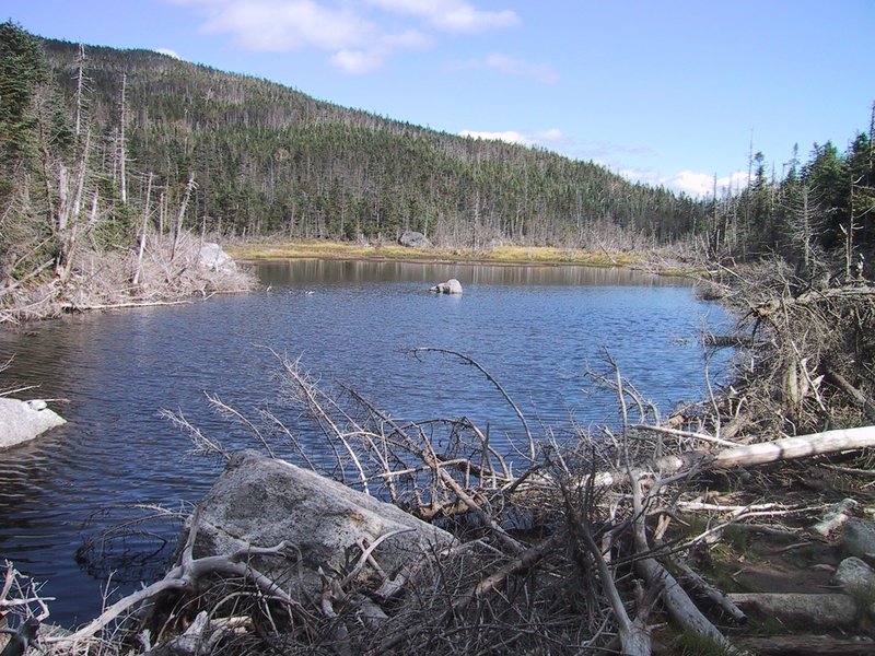
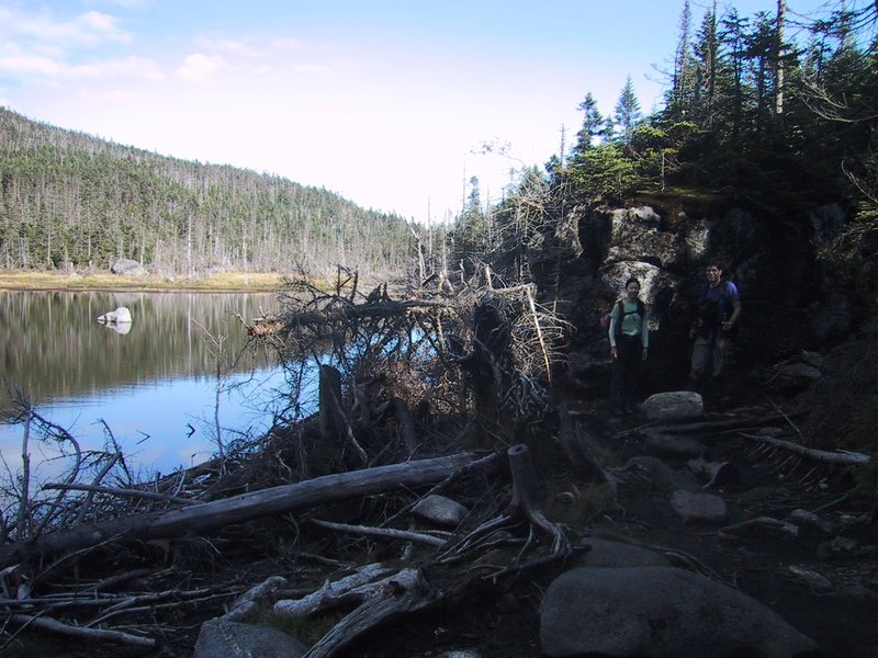
Lunch break at the Flowed Lands. The expedition where David Henderson lost his life was to scout out the location for a dam to divert the Opalescent River into what is now known as Calamity Brook, to bring hydro power to the Upper Works. This involved building a dam that flooded this area. The dam has since been breeched for safety reasons, which is why the water level is very low.


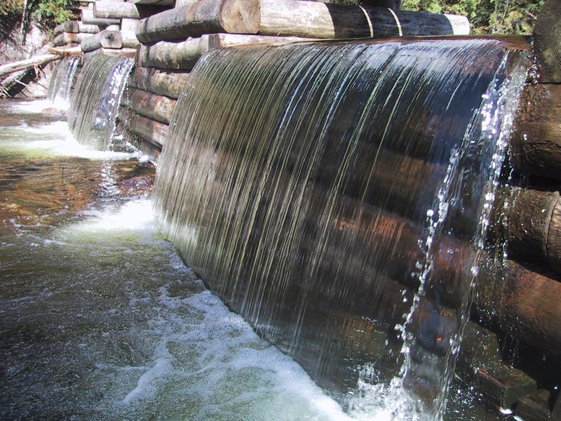
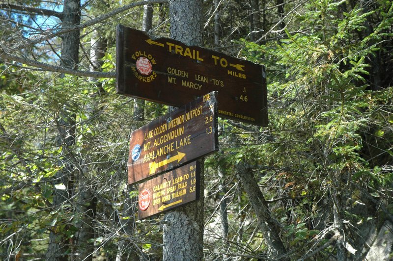
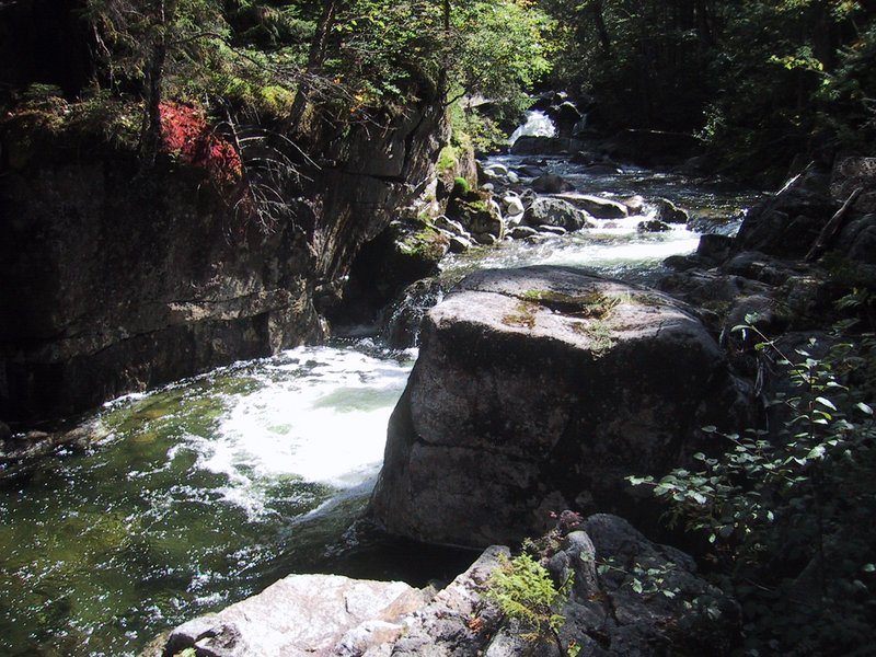
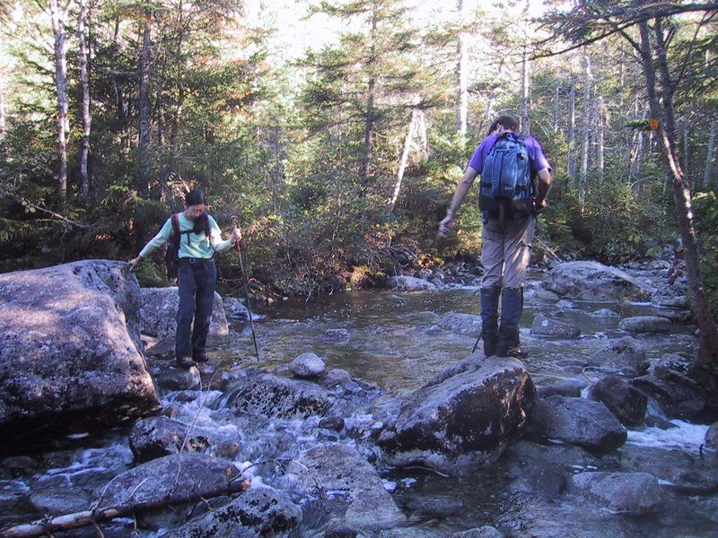
Onward on a trail that goes around the Flowed Lands, to the Lake Colden dam. The Opalescent River goes past the dam on the downstream side, and the water out of the Avalanche Lake / Lake Colden watershed joins it here.
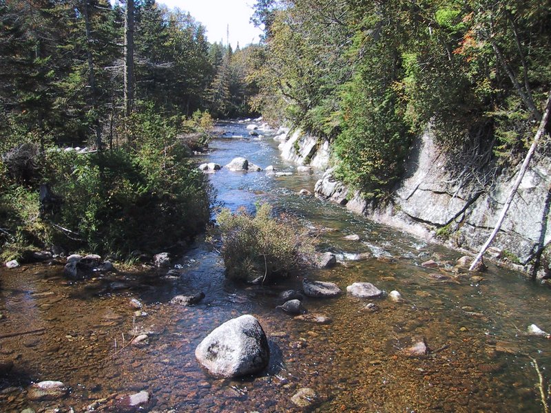
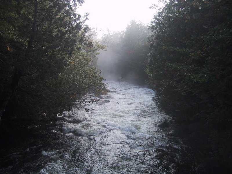
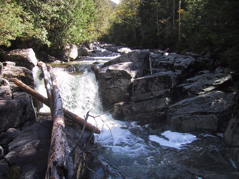
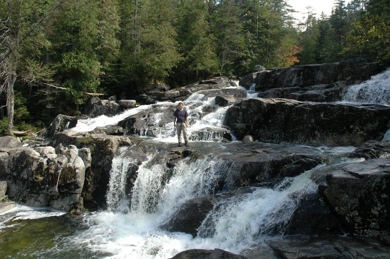
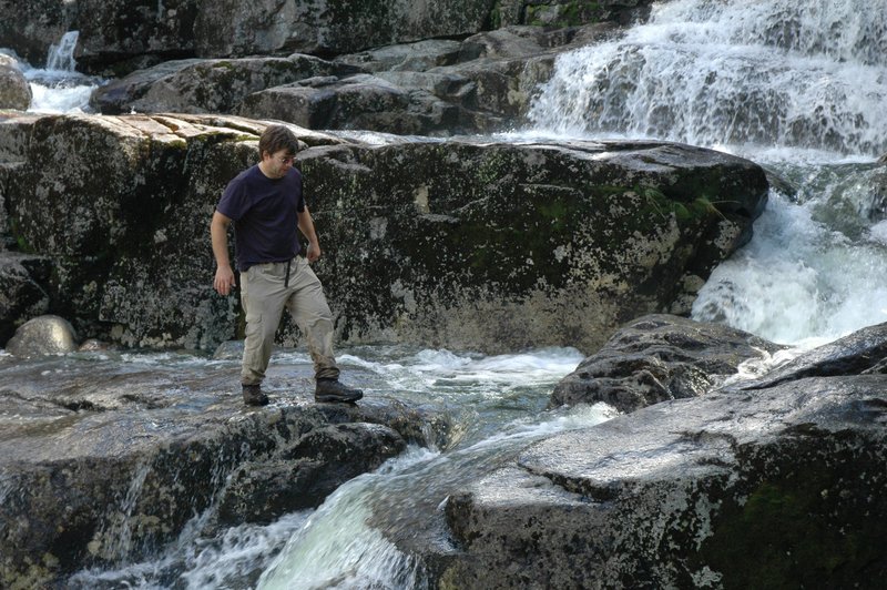
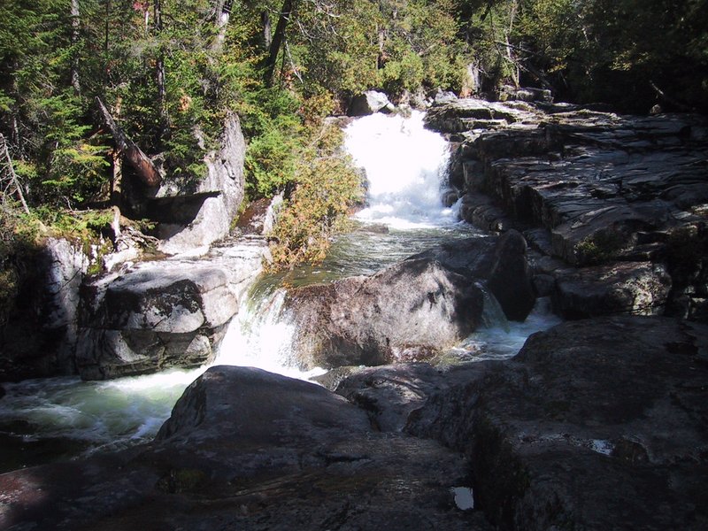
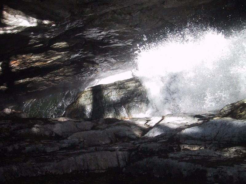
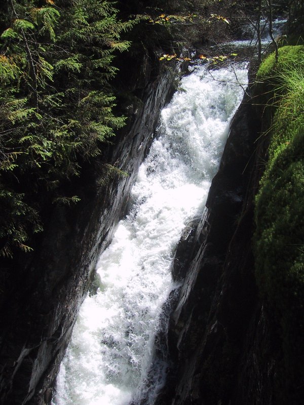
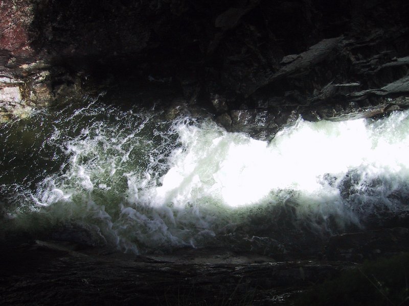
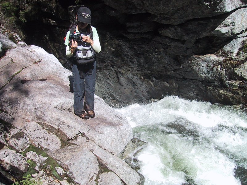
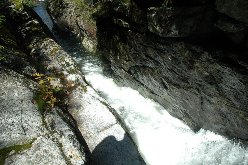
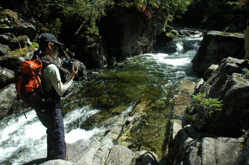
The steep part of the Opalescent River has many lovely waterfalls and shimmering green pools and is very photogenic, especially when it is flowing as strongly as today due to recent rains.

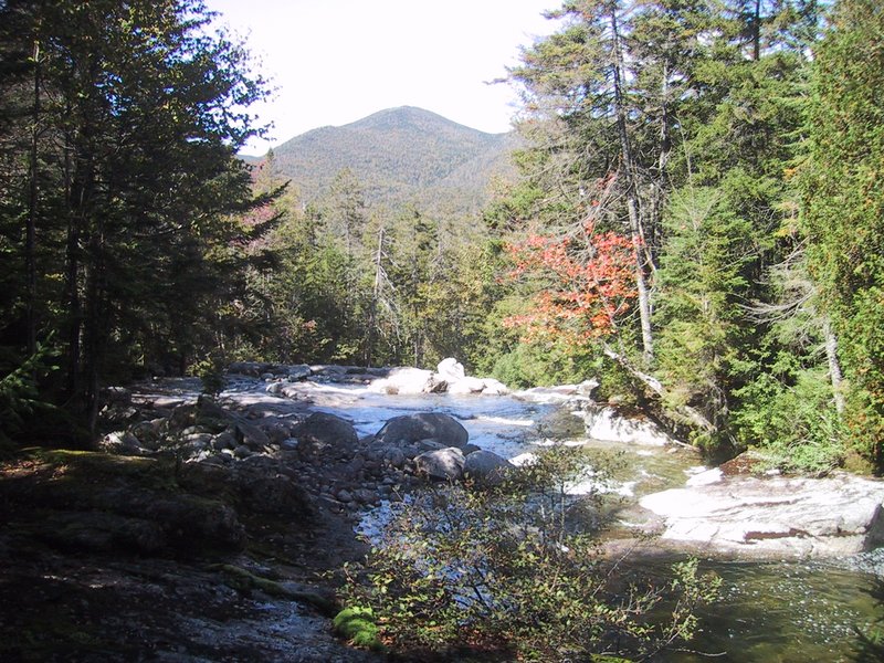

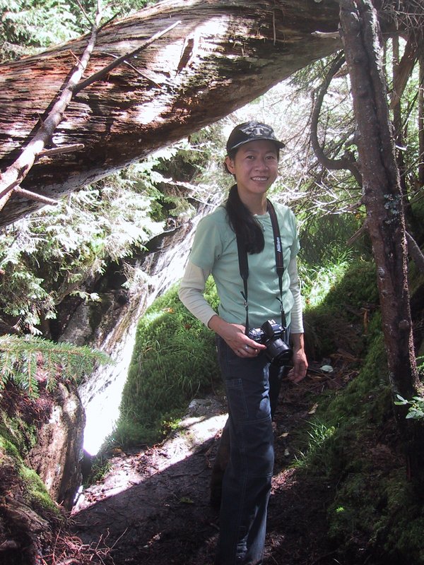


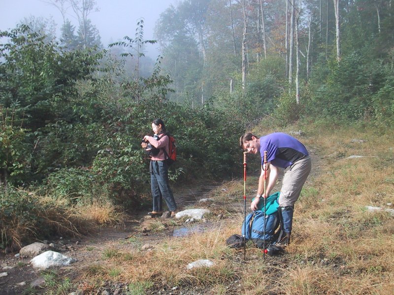
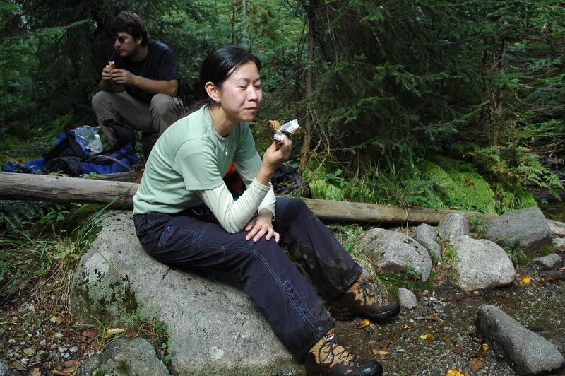
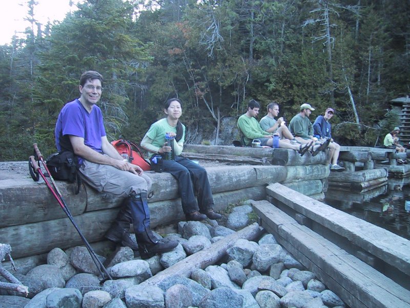
We have gained the top of this section, and have a brief food break before tackling the steep trail along Feldspar Brook up to Lake Tear of the Clouds.

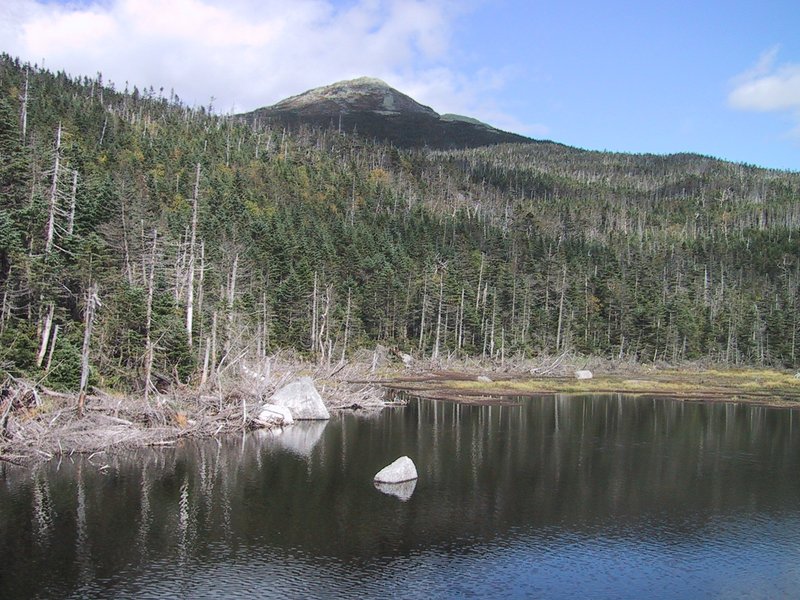
Lake Tear of the Clouds, and the junction known as Four Corners, where trails go off to Marcy (on the left) and Skylight (on the right).
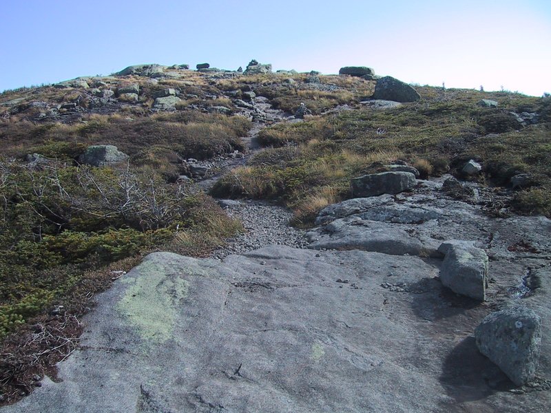
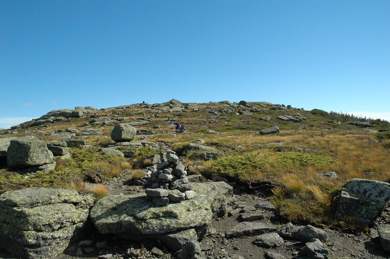
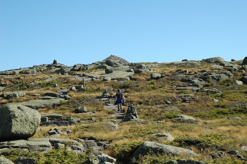
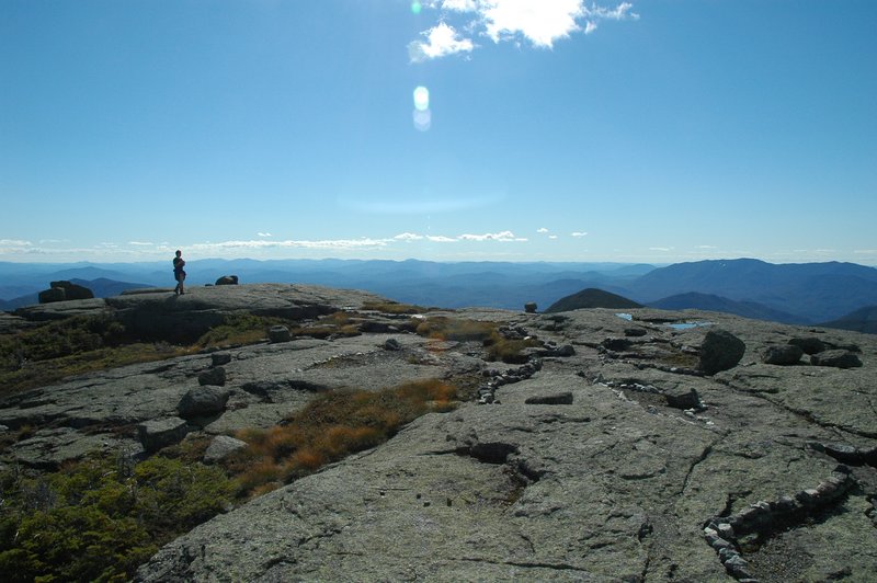
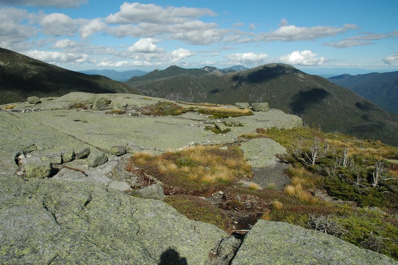
Approaching the summit of Mt. Skylight

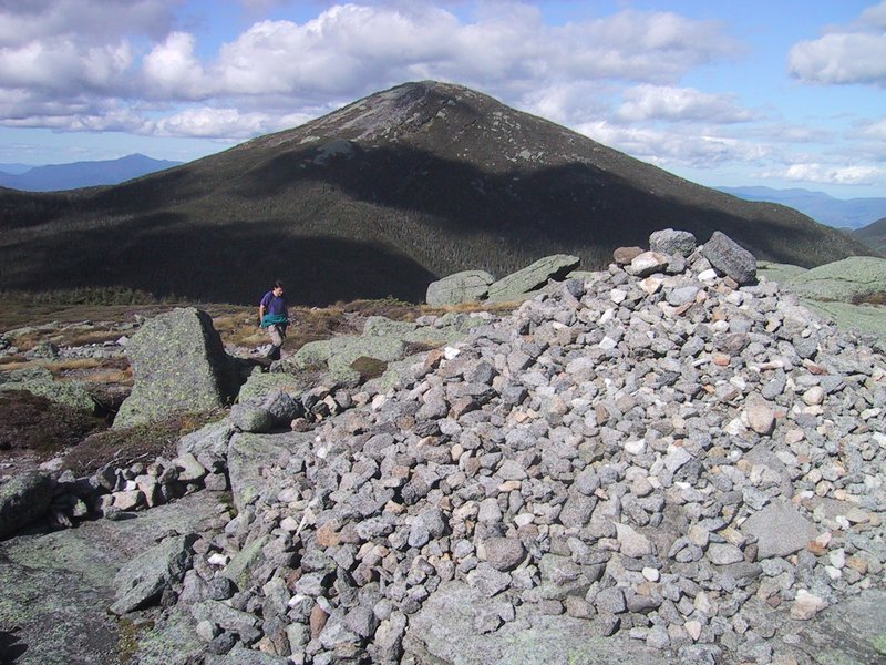
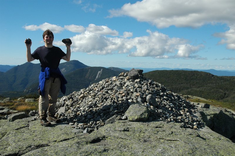
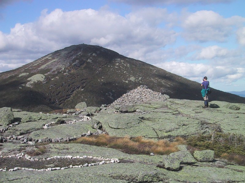
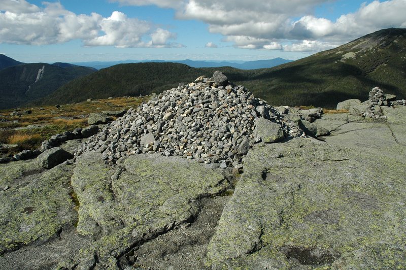
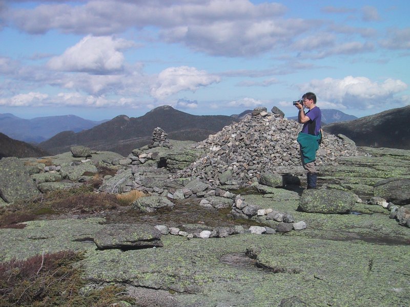
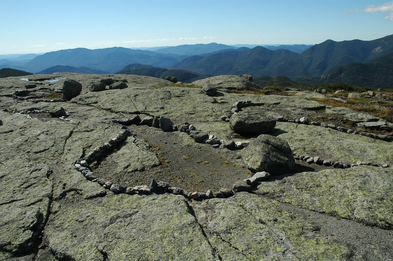
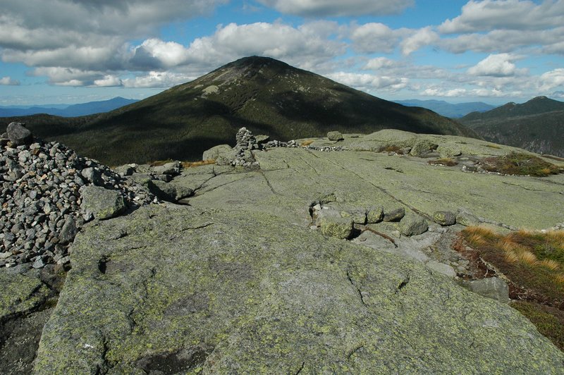
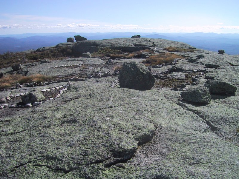
We make our own contribution to the pile of rocks on the summit, and photograph it thoroughly. Mt. Marcy looms majestically in the background.

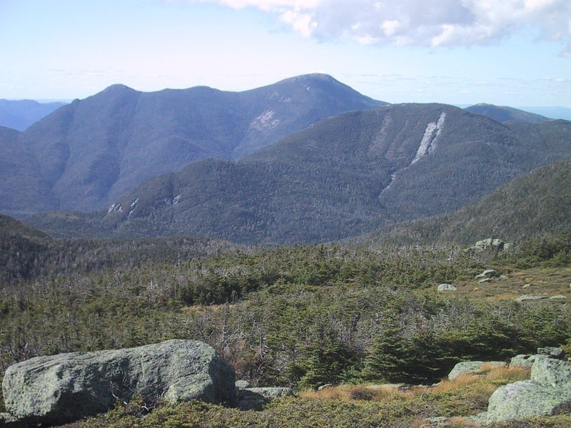
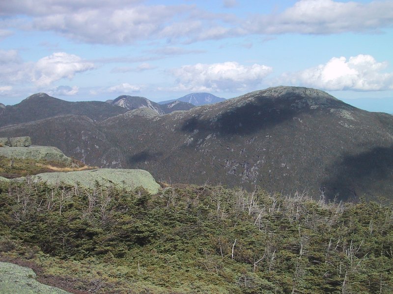
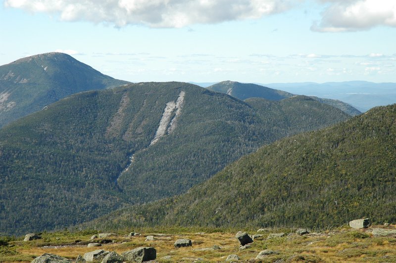
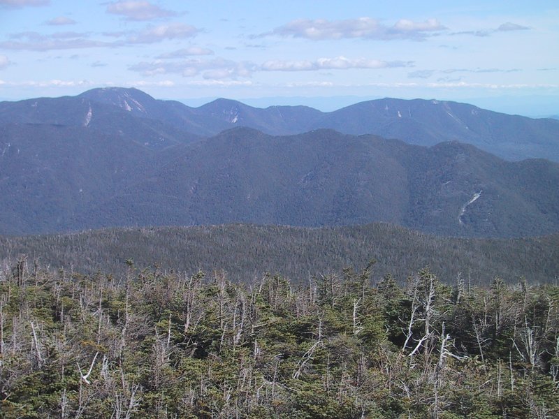
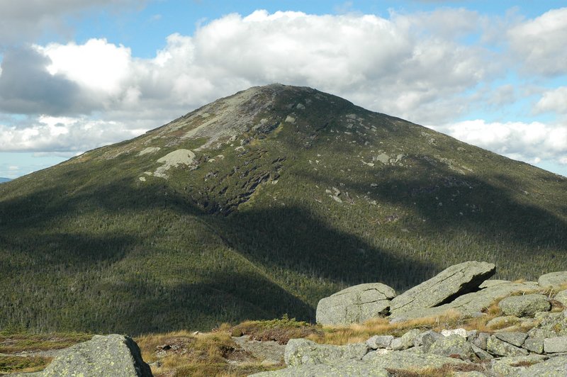
Scenic vistas. Allen Mountain (first picture), Mt. Redfield, with Mt. Adams and Santanonis in the background (second picture), Iroquois, Algonquin and Colden (third picture), Haystack, Basin, Gothics and Giant (fourth and fifth picture), Algonquin, Colden and Wright (sixth picture)


Since the hour is getting late and we have a 16km hike out, we depart from the summit after 10 minutes.

At Lake Colden dam just before nightfall. It gets fully dark about the time we reach the west side of the Flowed Lands. We have to hike the remaining three hours by headlamp.
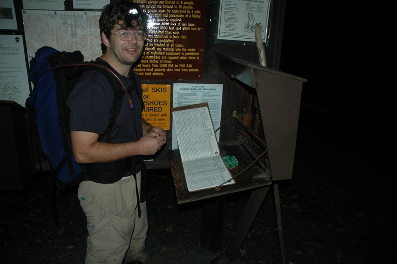
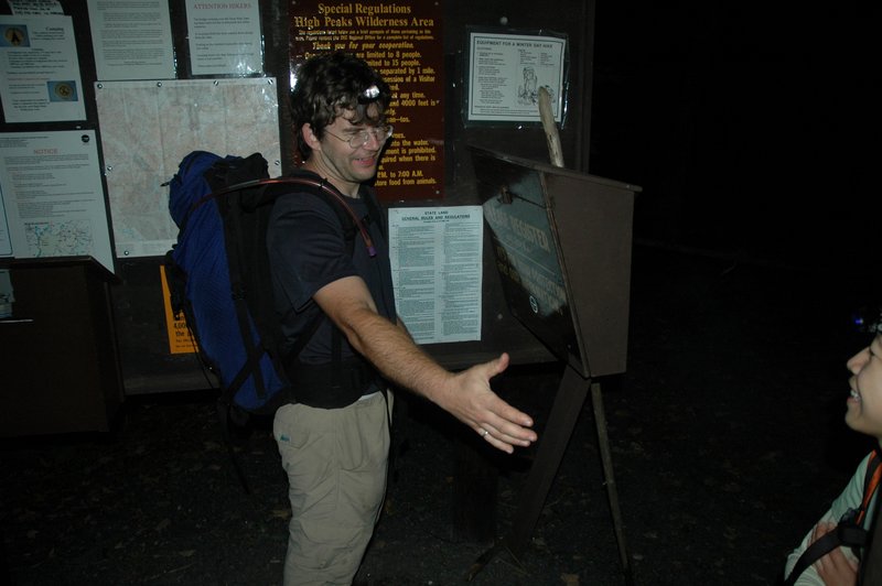
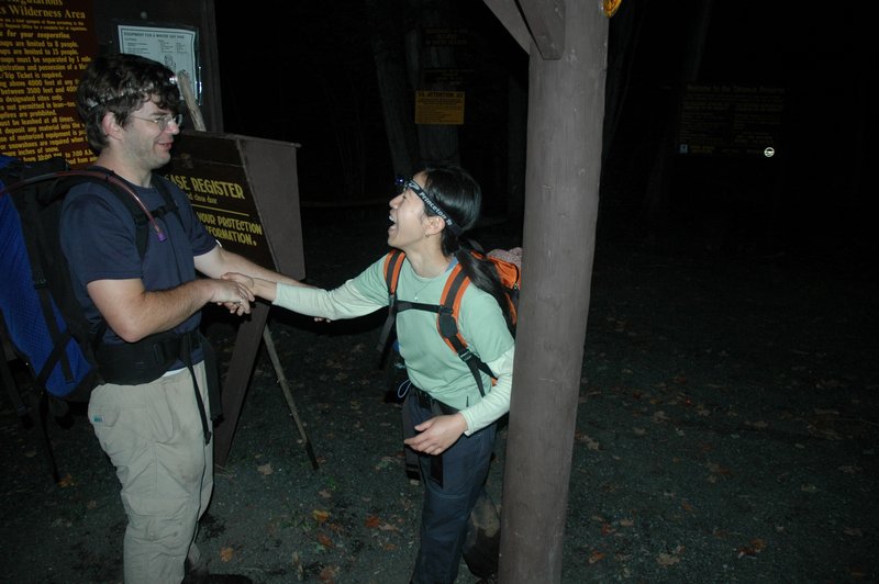
Finished at 10:20pm. We congratulate each other for such a tough hike well done.