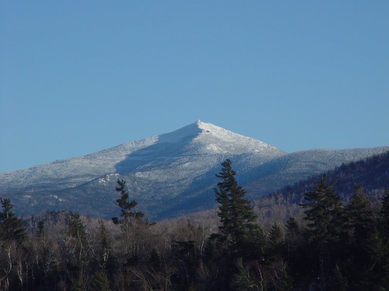
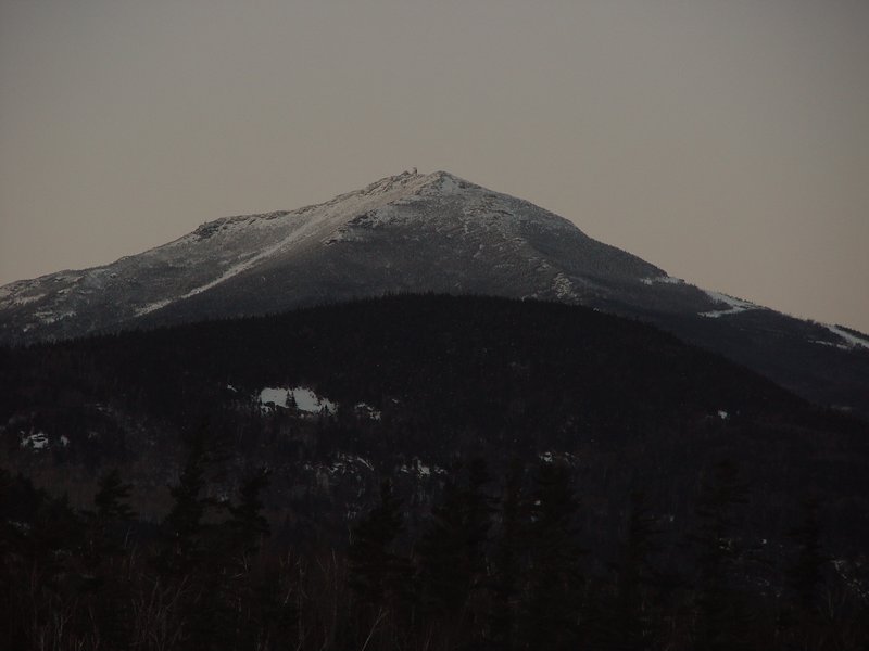
The first two pictures show Whiteface from the west near Saranac Lake, then from the south across Connery Pond (on the hike in). I could have gotten a perfect version of this picture in the morning, with the early sunlight shining right at the mountain, but my camera was still cold from the drive down (I had forgotten to put it over the defrost vents in the car as I usually do to warm it up) and would not work. Also we were in a rush so I couldn't take time to warm the battery by rubbing it between my hands until it warms enough to take a picture.
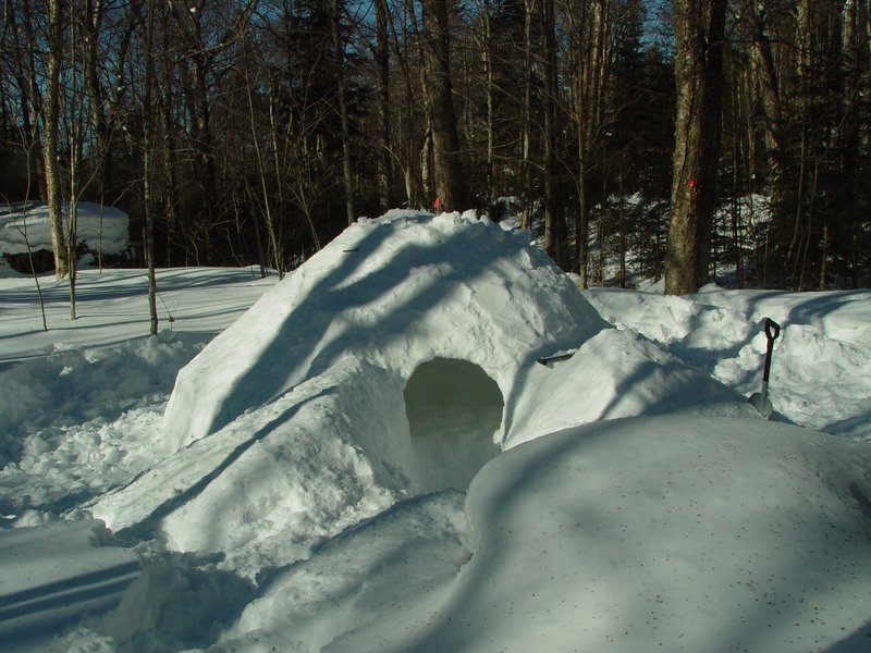
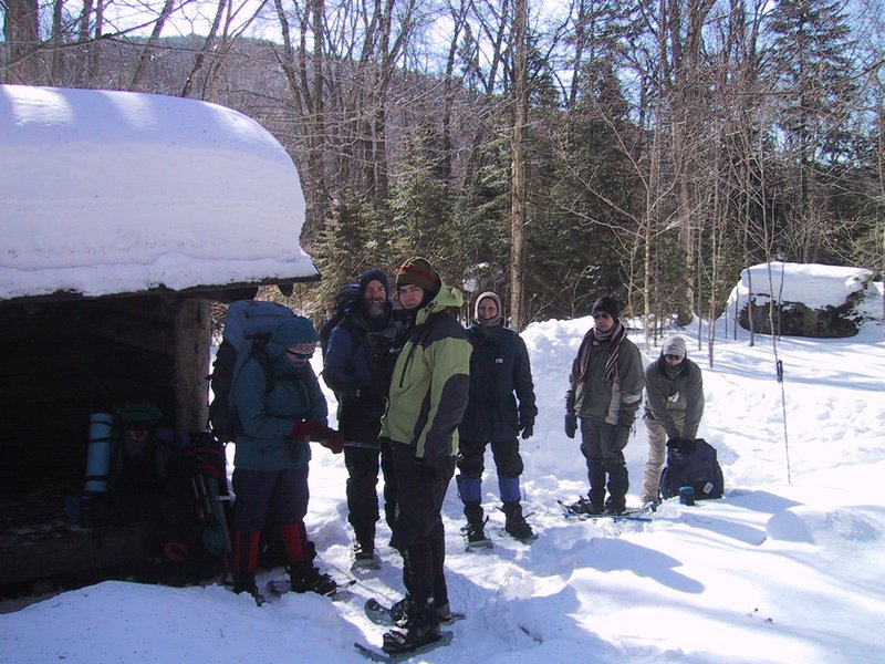
The third picture shows the snow shelter in the morning shortly before we arrived.
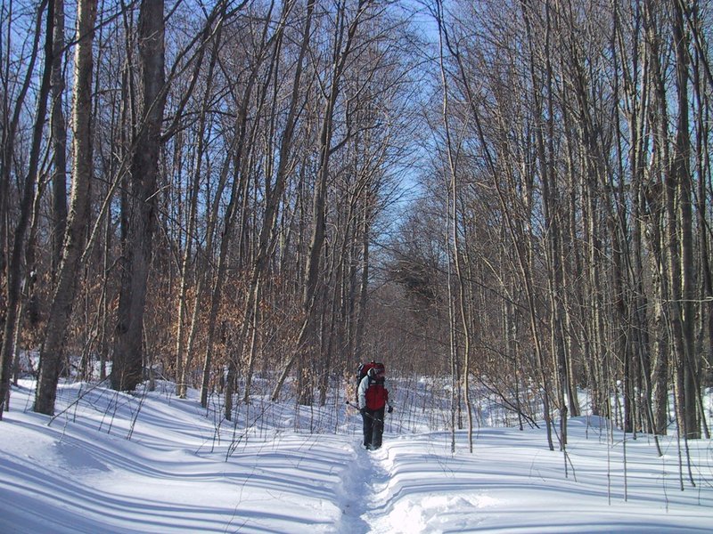
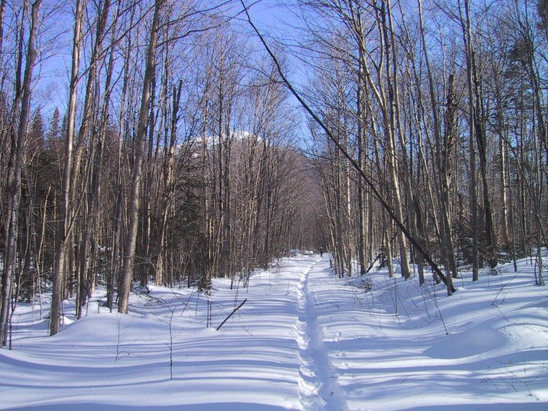
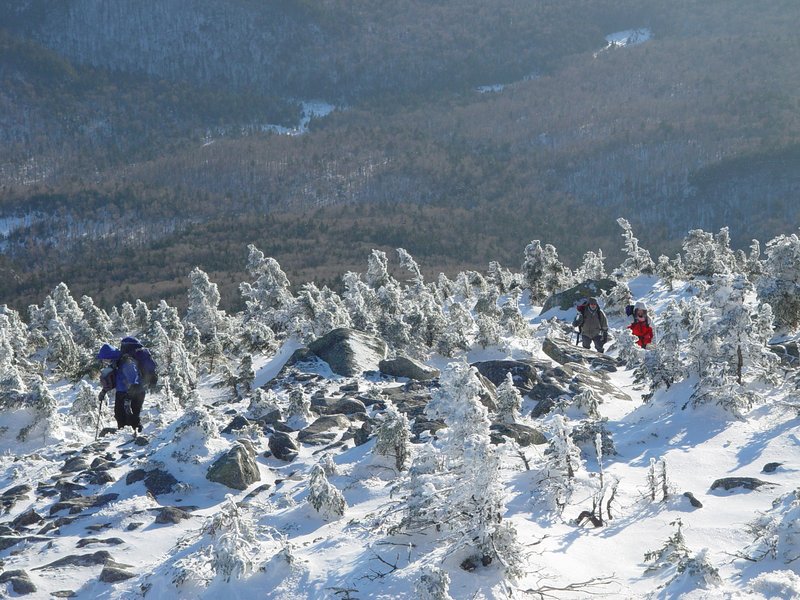
A particularly nice section of trail, not far from the camp site.
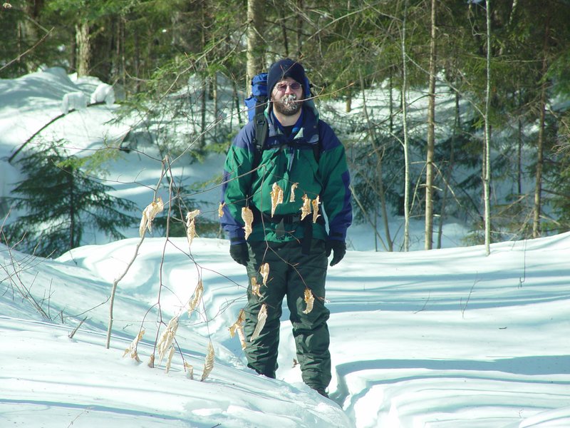
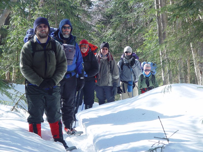
I arrive at the camp site. Shortly after, we all commence the ascent, except for Deborah who has a sore knee and opts out.
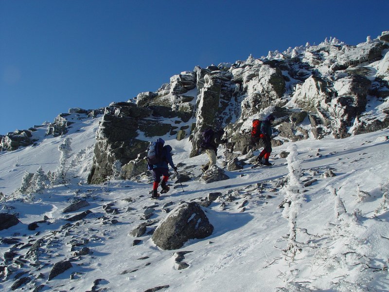
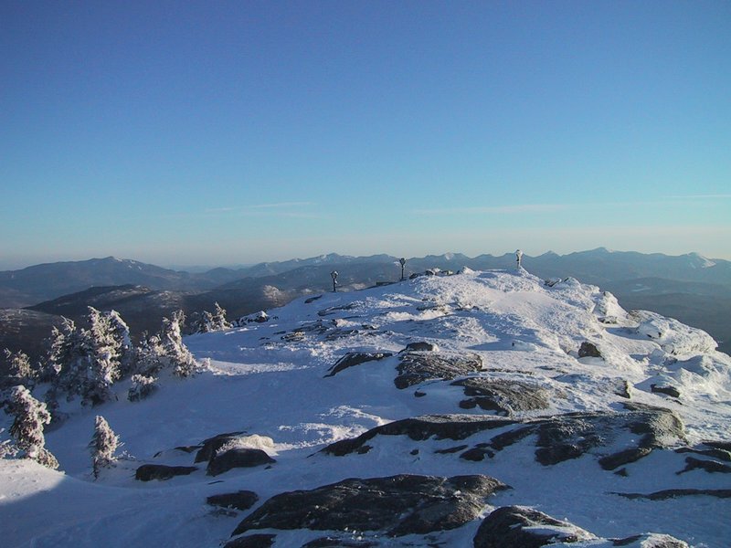
The ascent is steep and messy (lots of loose snow falling off the trees, and lots of obstructions on the trail due to the 5ft of snow that we are walking on). So the next batch of pictures, 4 hours later, already has us just short of the summit in late afternoon sunlight.

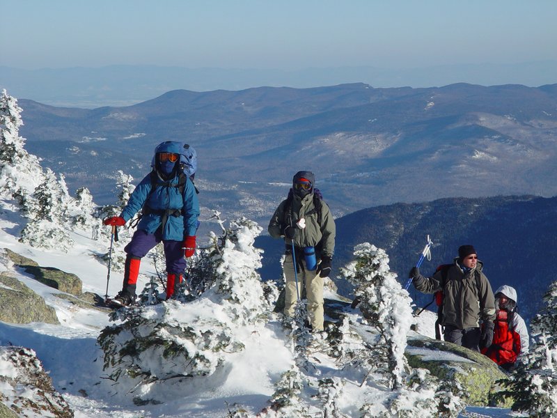
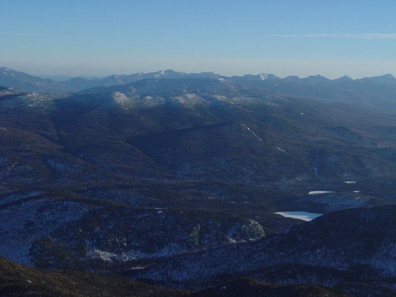

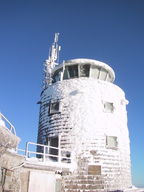
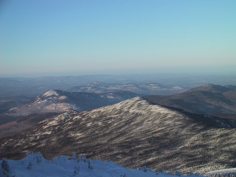
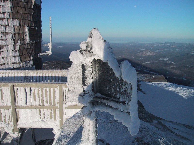
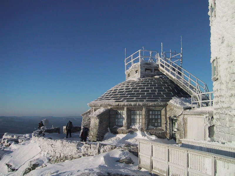
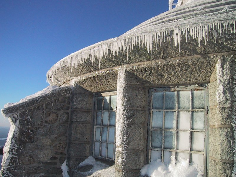
Whiteface summit from afar in winter is a beautiful sight, truly befitting the name of the mountain. Here now we can see the white encrustation up close. This is quite a tough environment in winter.
Our original goal, Esther Mountain, must wait for another day since we are running late.

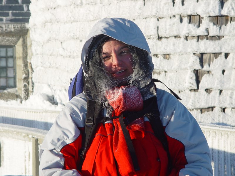
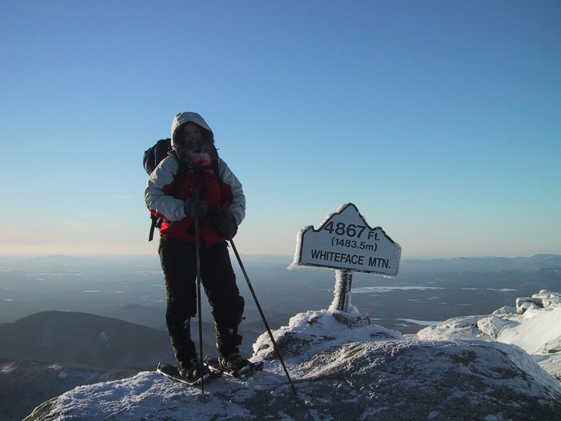
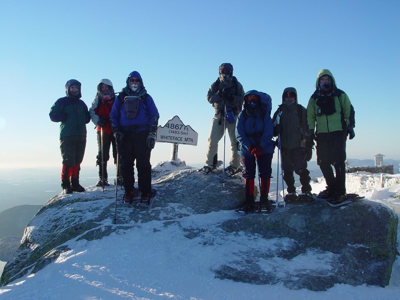
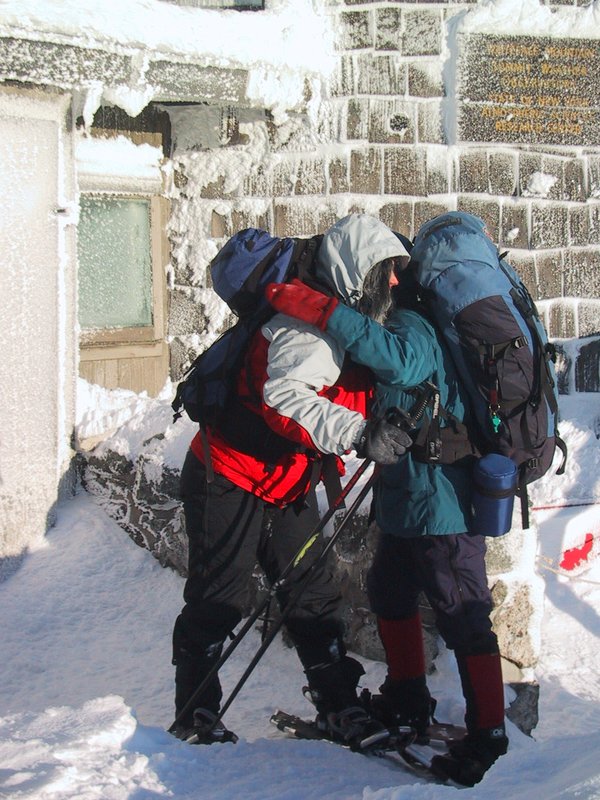
Adelia poses for a victory photo by the summit sign. She doesn't do much hiking like this and had quite a tough time making the ascent.


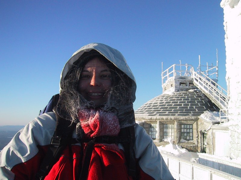

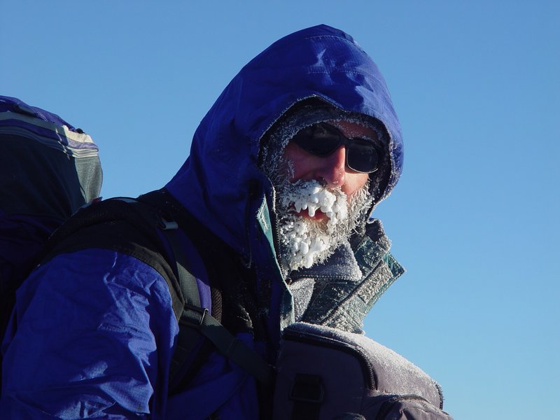
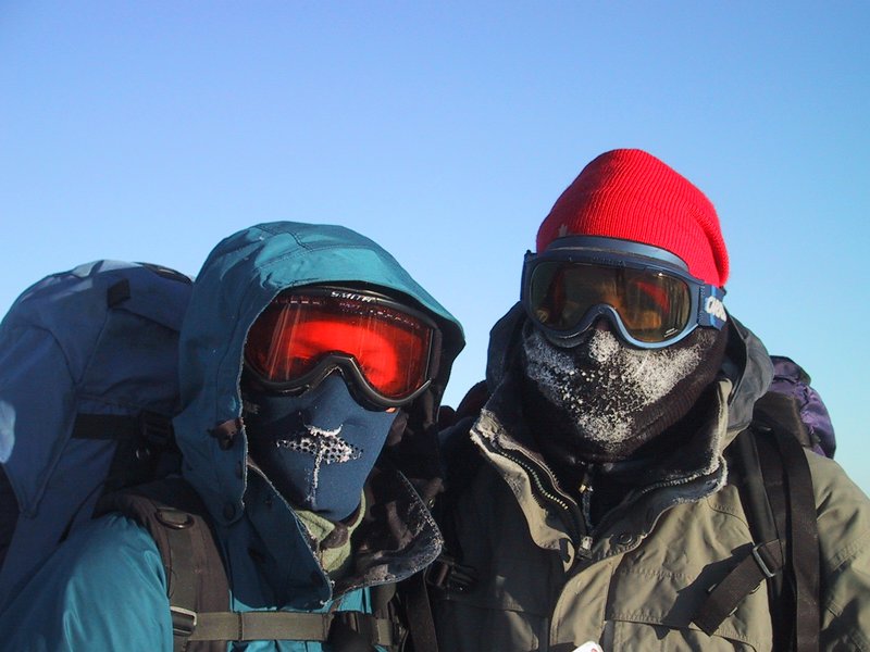
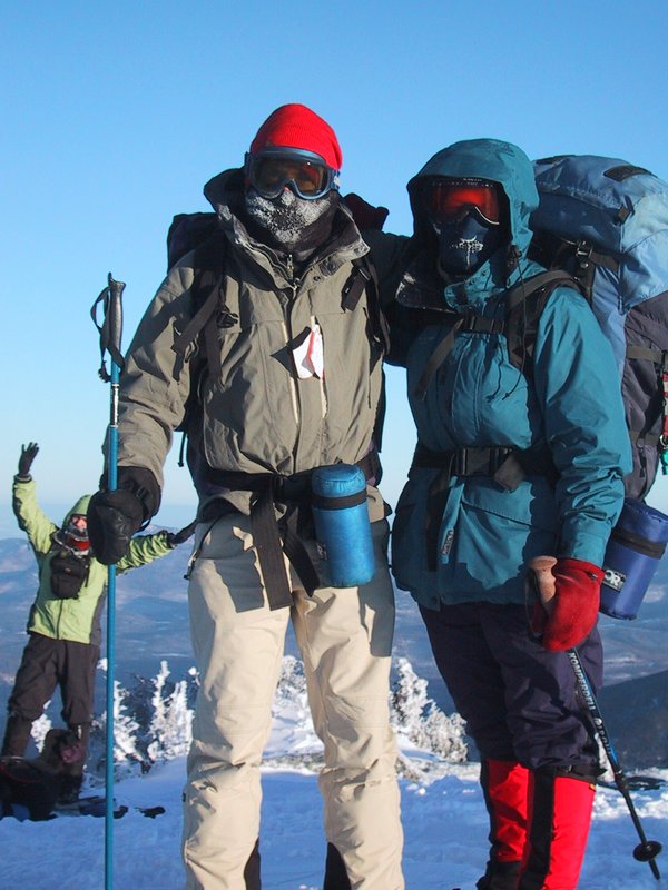
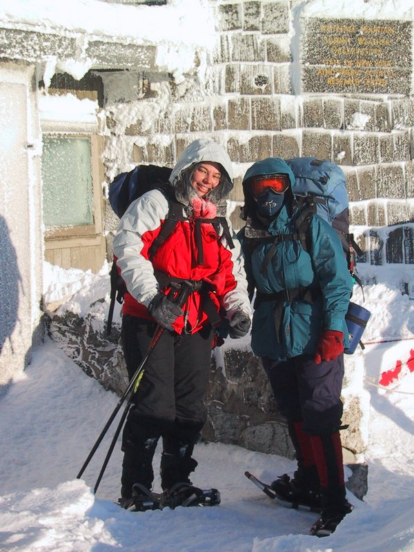
Experienced winter outdoor people Caroline and Bryan (you can guess which is which) pose in the proper gear for these conditions. I myself lack face protection.
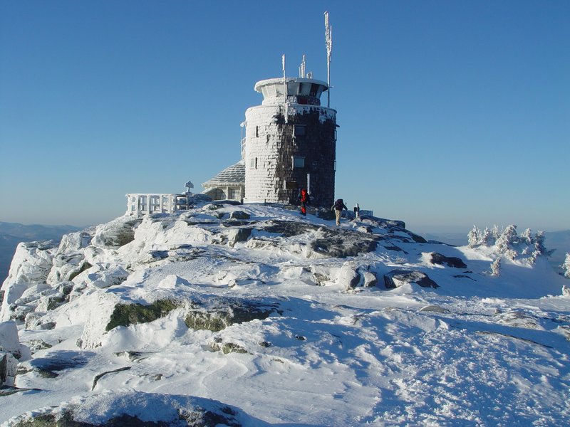
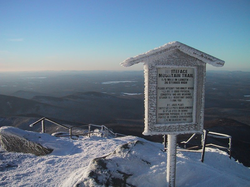
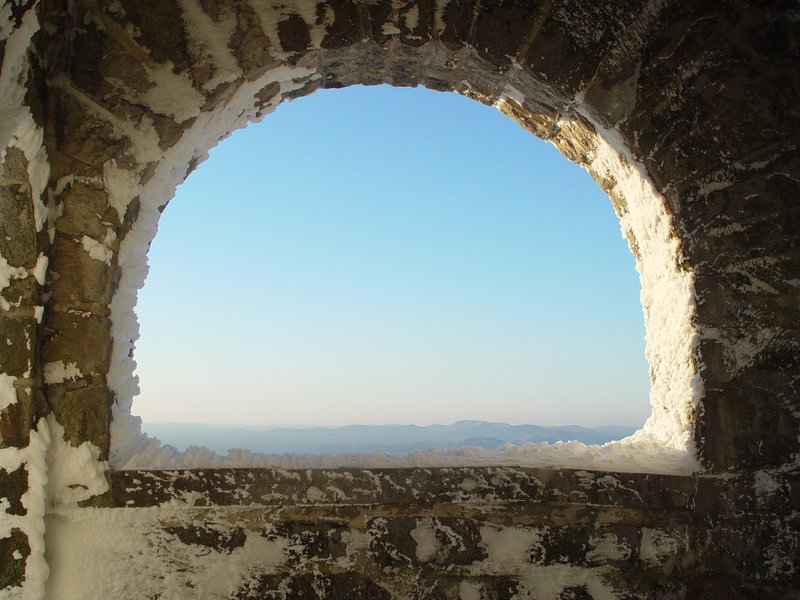
This sign, cautioning tourists about the difficulty of the summit ridge trail with its 260 foot elevation delta and and 1/5 mile distance, is funny when you've walked up the whole mountain. But one must not forget that this summit is actually wheelchair-accessable through a tunnel and elevator system inside the mountain.

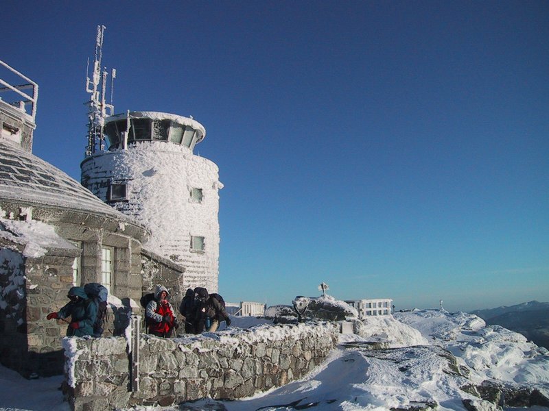
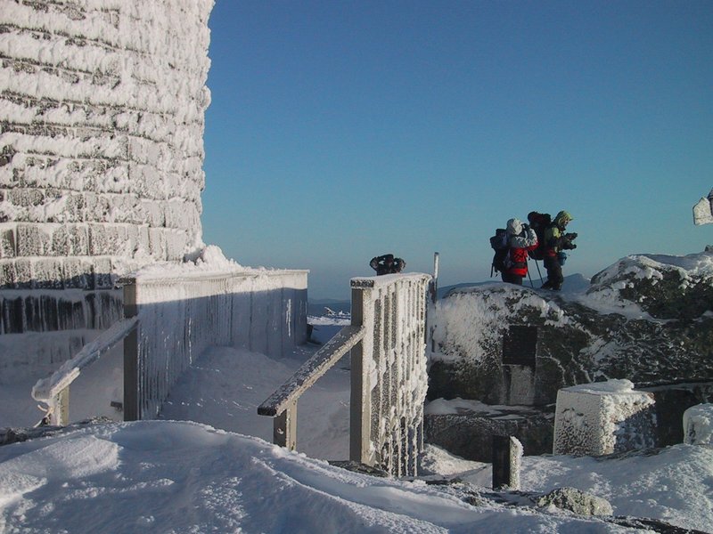
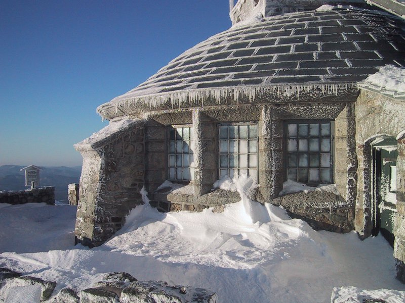
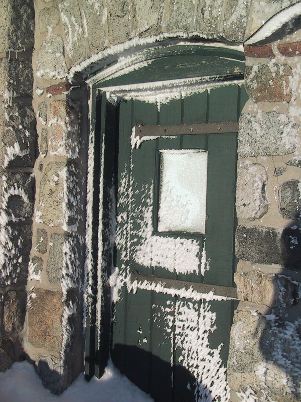
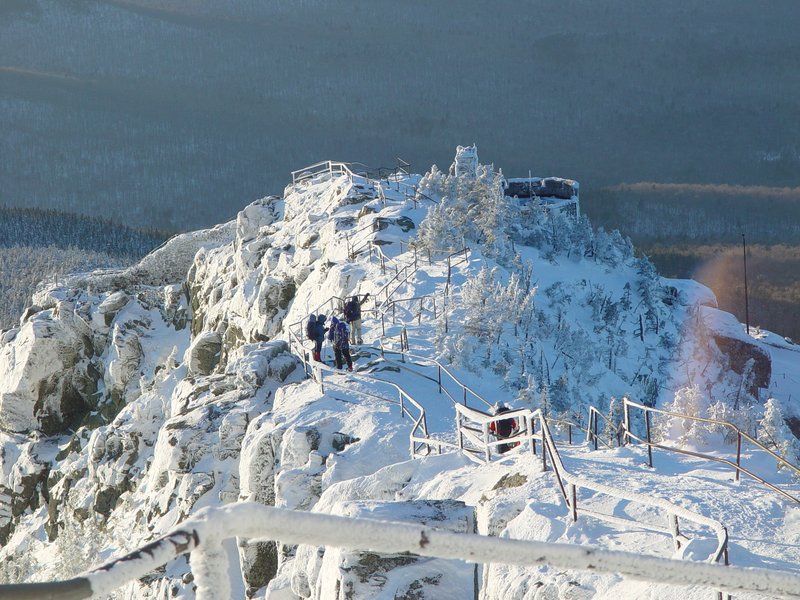
We descend along the ridge trail to the restaurant building at the head of the toll road. All is ice-encrusted and quiet except for the noise of the wind.

After this it gets dark and by the time we have finished the long hike out along the road, the full moon will be high in the sky.