(Chris Lawson Photo)

|
|
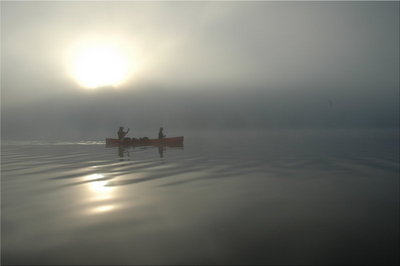
Canoeing in the fog on Smoothwater Lake (Chris Lawson Photo) |
The bottom of this lake was liquid silt. In a shallow spot, it was best to dip one's paddle into the muck and push the boat forward. Getting out was not an option as (in Ken's words) you'd "sink straight through to China".
We now donned our hiking boots for the long 1.2km portage to a chain of tiny ponds culminating (after four additional short portages) in Mihell Lake, which I thought was appropriately named given the struggle so far. As a hiker, I wondered why all this trouble, why not just put a hiking trail in? Ishpatina Ridge could easily be reached in a dayhike from Smoothwater Lake this way.
Doesn't sound like much fun, does it? We were rushing to keep up with the experienced canoeists. Another short portage and then a final 1.3km one, and we emerged on the shore of Scarecrow Lake. And just like that, we were there, on a large, beautiful body of water, the trailhead to Ishpatina Ridge less than a kilometer away on the shore. Perhaps there was something to this canoe tripping after all. And after the eternity of paddling and portaging, it was not even 1pm yet.

|
|
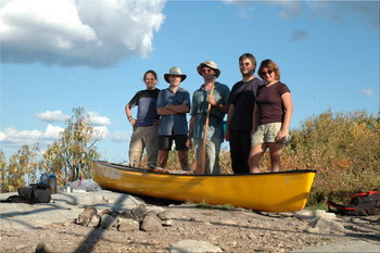
Five adventurers and one canoe, on the roof of Ontario (Chris Lawson Photo) |
Chris distrusted his GPS waypoint, and instead led us up a very clearly marked trail near our portage. But this only went to a disused ranger cabin. A search along the shore revealed the true trailhead, which agreed perfectly with his GPS.
Michael had been joking about the final portage of the day, and now he shouldered the yellow solo canoe as we began the hike, obviously meaning to carry it up the 3km trail to the top. We all wondered how far the joke would go. Having wasted time searching for the trailhead, we now marched up at full speed, but he valiantly kept up with his cargo.
It took us just over an hour to gain the top.
A sign warned us not to climb the tower, but it was in good condition and it was clear that other people had climbed it, as the lower removed ladder section was replaced by one salvaged from the remains of an earlier tower on the site, and the hatch into the cab was seen to be open. Even so, none of us climbed it, law-abiding citizens that we are. I now regret not doing so. I did, however, climb up the first 10 feet, to get an unobstructed view. The late-afternoon light and the early fall colours were glorious. From the ridge, we could see our island campsite, but it was too far away to make out the tents.

|
|
Southwest view from Ishpatina Ridge, showing Scarecrow Lake
|
Note that these two panoramas together make almost a 360 degree view. Click on them to see them much larger.

|
|
Northeast view from Ishpatina Ridge
|
After a long stay on the summit, we headed back down, taking an hour to get back to the lake. Michael actually canoed part of the way, where the trail skirted a small lake. Lisa was very tired by this point, so we set off immediately for the island, while the others loaded up their canoes with firewood. Dinner was again prepared by Lisa.
On every significant lake, we had been greeted by the resident loon with his "intruders, get out!" call (can the loon help it that this stern warning sounds so melodious to us?) But that was nothing to what awaited us in the night. Scarecrow Lake had a family of at least five birds, and their nighttime calling, echoing off the surrounding hillsides, was the most beautiful night music I have ever heard. Suddenly, I understood the romantic mystique of Northern Ontario canoe touring.
Map of today's route (also available without annotation). All pictures for this day.